
Keyhole enclosure SE of Field Barn Farm, archaeological site in Monk Sherborne, Basingstoke and Deane, England, UK
Emplacement : Monk Sherborne
Coordonnées GPS : 51.28910,-1.13952
Dernière mise à jour : 6 avril 2025 à 01:30
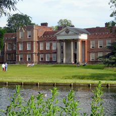
The Vyne
4.1 km
Milestones Living History Museum
3.1 km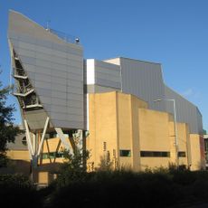
The Anvil, Basingstoke
4.3 km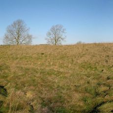
White Barrow
3.8 km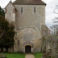
Pamber Priory
3.5 km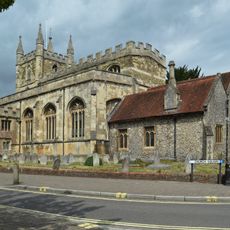
St Michael's Church, Basingstoke
4.4 km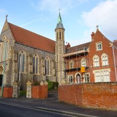
Church of the Holy Ghost
3.9 km
Norfolk House, Basingstoke
2.7 km
Hollywood Bowl
3 km
Odeon
3 km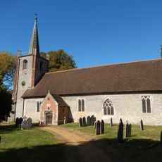
Church of St. Andrew
2.4 km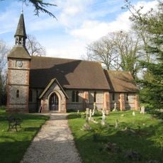
Christ Church
2.9 km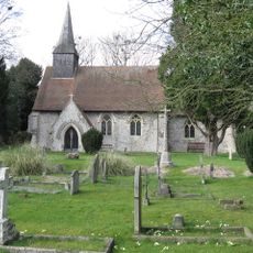
Church of St Thomas A Becket
3 km
Church of All Saints
1.2 km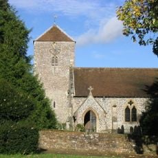
Church of St. Lawrence
1.8 km
St Gabriel's Church
3.7 km
Saint Peter's Church
4.1 km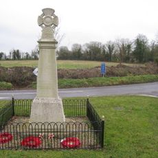
Monk Sherborne War Memorial
1.5 km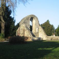
Ruins Of Chapel Of The Holy Ghost
4.1 km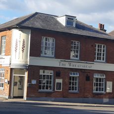
The Wheatsheaf Public House
4.6 km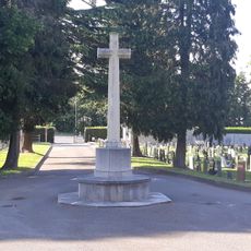
Worting Road Cemetery CWGC Cross
3.9 km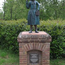
Blue Coat Boy
4.5 km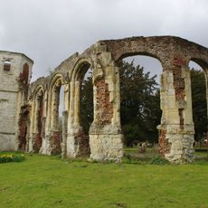
Ruins Of Chapel Of The Holy Trinity
4.1 km
Tangier House
2.5 km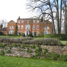
Worting House
2.8 km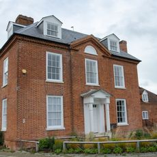
Chineham House
4.6 km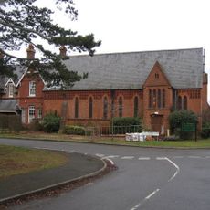
St Thomas House (chapel)
3.8 km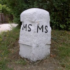
Milestone, Worting, Basingstoke; by No. 235 Old Worting Road, Basingstoke RG22 6WR
3.4 kmAvis
Vous avez visité ce lieu ? Touchez les étoiles pour le noter et partager votre expérience ou vos photos avec la communauté ! Essayez maintenant ! Vous pouvez annuler à tout moment.
Trouvez des trésors cachés à chaque coin de rue !
Des petits cafés pittoresques aux points de vue planqués, fuyez la foule et dénichez les lieux qui vous ressemblent vraiment. Notre app vous facilite la vie : recherche vocale, filtres malins, itinéraires optimisés et bons plans partagés par des voyageurs du monde entier. Téléchargez vite pour vivre l'aventure en version mobile !

Une approche inédite de la découverte touristique❞
— Le Figaro
Tous les lieux qui valent la peine d'être explorés❞
— France Info
Une excursion sur mesure en quelques clics❞
— 20 Minutes