
Granary And Oasthouse To The South-west Of Sheerland Farmhouse
Granary And Oasthouse To The South-west Of Sheerland Farmhouse, buildings in Pluckley, Kent, England, UK
Emplacement : Pluckley
Coordonnées GPS : 51.17560,0.76469
Dernière mise à jour : 5 mars 2025 à 20:45

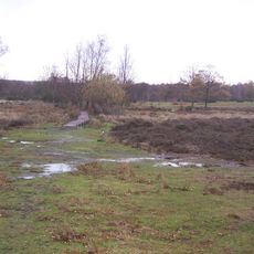
Hothfield Common
3.6 km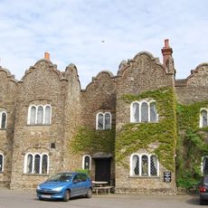
The Dering Arms Inn
2.4 km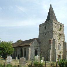
Church of St Margaret
3.7 km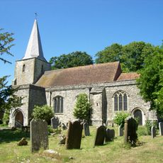
Church of St Nicholas
688 m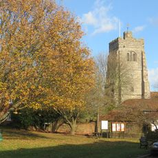
Church of St James
3.3 km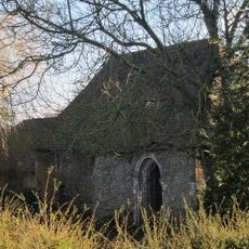
Chapel At Newlands Stud Farm
2.8 km
St Mary
1.2 km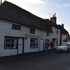
Church House
3.3 km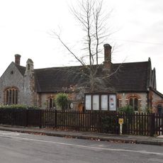
Pluckley Church Of England Primary School
772 m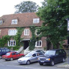
The Black Horse Inn
759 m
The Thanet Arms Inn
3.7 km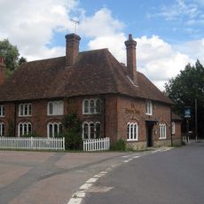
The Swan Inn And Former Stables
1.1 km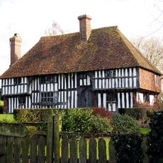
Link House
4 km
Gore Court
1.4 km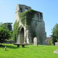
St Mary's Church (remains of)
1.2 km
Premises Occupied By A G Homewood Butcher Street House
775 m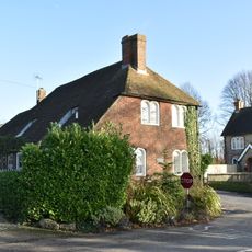
Tollgate House
623 m
Egerton House
4.1 km
Mill House
3.2 km
Rose Farmhouse
2.3 km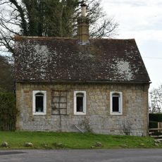
Gate Lodge To Former Surrenden Dering, 300 Metres To South East Of Church Of St Nicholas, Pluckley
655 m
Munday Farmhouse
855 m
Cooper Farmhouse
2.4 km
Ragged House Farmhouse
3 km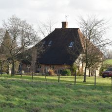
Payne Street
2.2 km
Mundy Bois House
2.7 km
Oasthouse Adjoining Bakers Mead
1.9 km
Rose Court
1.1 kmAvis
Vous avez visité ce lieu ? Touchez les étoiles pour le noter et partager votre expérience ou vos photos avec la communauté ! Essayez maintenant ! Vous pouvez annuler à tout moment.
Trouvez des trésors cachés à chaque coin de rue !
Des petits cafés pittoresques aux points de vue planqués, fuyez la foule et dénichez les lieux qui vous ressemblent vraiment. Notre app vous facilite la vie : recherche vocale, filtres malins, itinéraires optimisés et bons plans partagés par des voyageurs du monde entier. Téléchargez vite pour vivre l'aventure en version mobile !

Une approche inédite de la découverte touristique❞
— Le Figaro
Tous les lieux qui valent la peine d'être explorés❞
— France Info
Une excursion sur mesure en quelques clics❞
— 20 Minutes