
The Observatory, architectural structure in Brightling, Rother, England, UK
Emplacement : Brightling
Coordonnées GPS : 50.96190,0.37768
Dernière mise à jour : 25 octobre 2025 à 17:29
Bateman's
3.1 km
Formation de Weald Clay
4.5 km
Blackdown Mill
4.3 km
Dallington Forest
1.7 km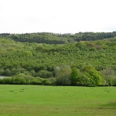
Darwell Wood
4.1 km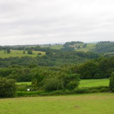
Bingletts Wood
4.6 km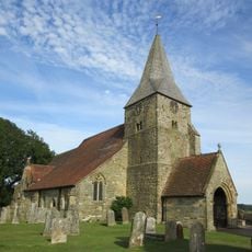
The Parish Church of St Bartholomew
4.1 km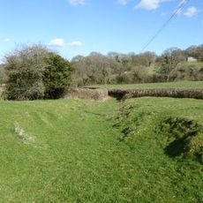
Willingford Meadows
2.1 km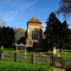
The Parish Church of St Michael
4.8 km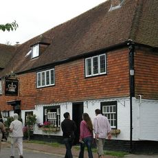
The Rose And Crown Inn
4.1 km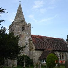
The Parish Church of St Giles, Dallington
2.1 km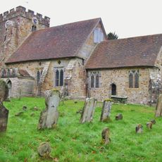
The Parish Church of St Thomas A Becket
1.3 km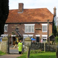
The Bell Inn
4.1 km
Old Chapel House
3.3 km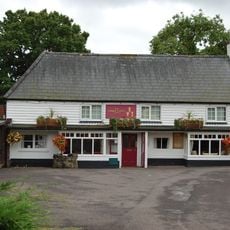
The Three Cups Inn
3.5 km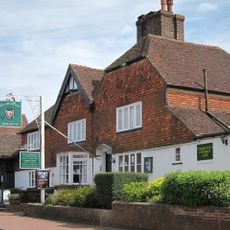
The Bear Hotel
4 km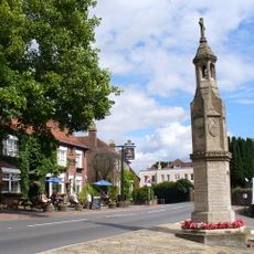
Burwash War Memorial
4.1 km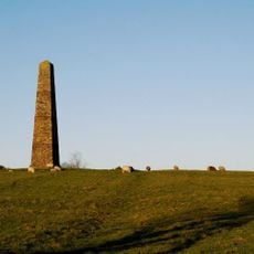
Brightling Needle
470 m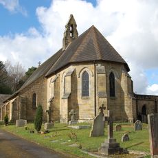
St Philip's Church
4.2 km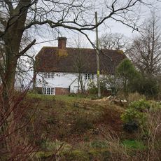
Thorndale Farmhouse
3.8 km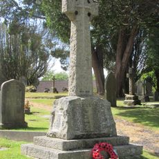
Burwash Weald War Memorial
4.2 km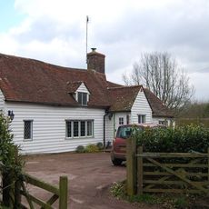
Oliver's Hill
3.3 km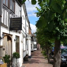
Chateaubriand Premises Occupied By E Watson And Sons Estate Agents Premises Occupied By E Workman Greengrocers Villiers
4 km
Red Pale Farmhouse
4.6 km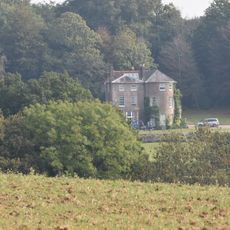
Marklye
4.9 km
The Shop At Bateman's
3.1 km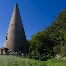
The Sugarloaf
1.2 km
Pleydells
4.9 kmAvis
Vous avez visité ce lieu ? Touchez les étoiles pour le noter et partager votre expérience ou vos photos avec la communauté ! Essayez maintenant ! Vous pouvez annuler à tout moment.
Trouvez des trésors cachés à chaque coin de rue !
Des petits cafés pittoresques aux points de vue planqués, fuyez la foule et dénichez les lieux qui vous ressemblent vraiment. Notre app vous facilite la vie : recherche vocale, filtres malins, itinéraires optimisés et bons plans partagés par des voyageurs du monde entier. Téléchargez vite pour vivre l'aventure en version mobile !

Une approche inédite de la découverte touristique❞
— Le Figaro
Tous les lieux qui valent la peine d'être explorés❞
— France Info
Une excursion sur mesure en quelques clics❞
— 20 Minutes