
L Shaped Range Of Buildings To Dunkirk Mills
L Shaped Range Of Buildings To Dunkirk Mills, mill building in Nailsworth, Stroud, England, UK
Emplacement : Nailsworth
Coordonnées GPS : 51.70360,-2.22627
Dernière mise à jour : 6 avril 2025 à 08:55
The New Lawn
752 m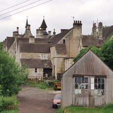
Convent Of Poor Clares
1 km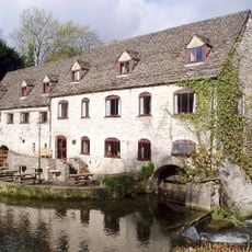
Egypt Mill
836 m
Neu-Lindsey Nature Reserve
895 m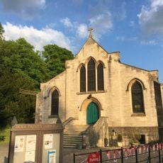
Church of the Holy Trinity
824 m
Church of Our Lady of the Annunciation
584 m
Church of St George
1.1 km
Inchbrook War Memorial
549 m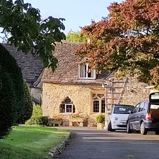
Bannut Tree Chapel
1.1 km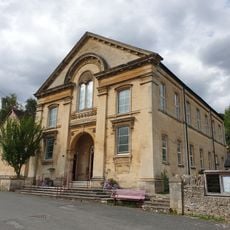
Christ Church (Baptist Methodist United Reform Church)
1.1 km
Britannia Inn
1.2 km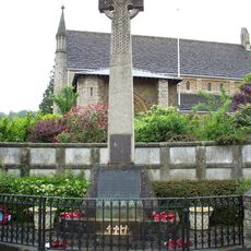
Nailsworth War Memorial Cross
1.1 km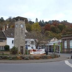
Nailsworth War Memorial Clock Tower
1 km
Whitehall
1 km
4, George Street
1 km
Newmans Wool Warehouse The Wool Loft
1.1 km
Nailsworth Library
1.1 km
The Deverells
997 m
Premises Of Winterbotham Ball And Gadsen Solicitors And The Stroud Building Society
1.2 km
The Fountain
1 km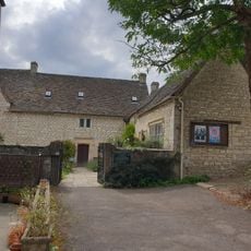
Friends Meeting House
1.1 km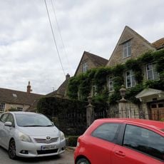
Osborne House
1.2 km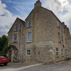
Chestnut Hill House
1 km
The Mount
1.1 km
Stokes Croft
1.1 km
Stone Built Block At Days Mill To Rear Of Fountain Street Frontage
1.1 km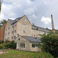
Dunkirk Mill
50 m
The Surgery
1.2 kmAvis
Vous avez visité ce lieu ? Touchez les étoiles pour le noter et partager votre expérience ou vos photos avec la communauté ! Essayez maintenant ! Vous pouvez annuler à tout moment.
Trouvez des trésors cachés à chaque coin de rue !
Des petits cafés pittoresques aux points de vue planqués, fuyez la foule et dénichez les lieux qui vous ressemblent vraiment. Notre app vous facilite la vie : recherche vocale, filtres malins, itinéraires optimisés et bons plans partagés par des voyageurs du monde entier. Téléchargez vite pour vivre l'aventure en version mobile !

Une approche inédite de la découverte touristique❞
— Le Figaro
Tous les lieux qui valent la peine d'être explorés❞
— France Info
Une excursion sur mesure en quelques clics❞
— 20 Minutes