
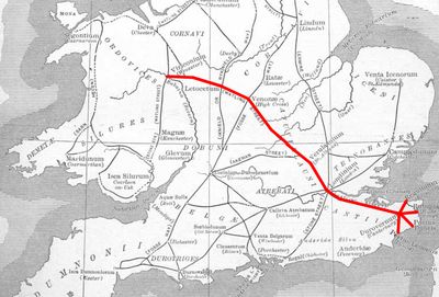
Venonis, archaeological site in Leicestershire, United Kingdom
Emplacement : Leicestershire
Coordonnées GPS : 52.49325,-1.30182
Dernière mise à jour : 18 mars 2025 à 21:05

Magna Park, Lutterworth
5.2 km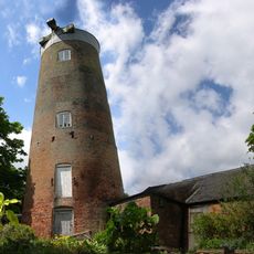
Ullesthorpe Mill
3.2 km
Burbage Wood and Aston Firs
5.7 km
St Peter's Church, Aston Flamville
4.3 km
St Peter's Church, Ashby Parva
5.1 km
Church of St John the Baptist
4.5 km
Church of St Nicholas
3.5 km
Church of St Edith
5.6 km
Church of St Catherine
5.3 km
Church of St Leonard
4.4 km
Church of St Peter
5.3 km
Church of St Peter, Claybrooke Parva
2.2 km
Church of All Saints
4.8 km
Church of St John
2.3 km
Church of St Helen
3.4 km
Church of All Saints
5.9 km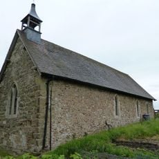
Church of St Mary
1.5 km
Church of St Peter
4.3 km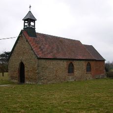
Chapel Of St Mary
1.1 km
Newnham Paddox
4.7 km
High Cross 60m north west of Highcross House
260 m
Burbage War Memorial
5.1 km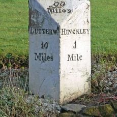
Milestone At Ngr Sp 4412 9332
5.8 km
Deserted village of Stretton Baskerville
6.1 km
Newnham Paddox
4.7 km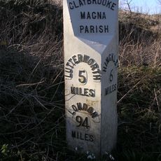
Milepost, Main Road, opp. jct with Frolesworth Lane, nr Pig in Muck PH
1.5 km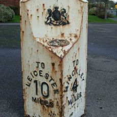
Milepost, Sharnford Road, at jct of Grace Road
5.1 km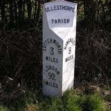
Milepost, opp. Milestone Cottage & Normanton House Farm, E of Ullesthorpe
4 kmAvis
Vous avez visité ce lieu ? Touchez les étoiles pour le noter et partager votre expérience ou vos photos avec la communauté ! Essayez maintenant ! Vous pouvez annuler à tout moment.
Trouvez des trésors cachés à chaque coin de rue !
Des petits cafés pittoresques aux points de vue planqués, fuyez la foule et dénichez les lieux qui vous ressemblent vraiment. Notre app vous facilite la vie : recherche vocale, filtres malins, itinéraires optimisés et bons plans partagés par des voyageurs du monde entier. Téléchargez vite pour vivre l'aventure en version mobile !

Une approche inédite de la découverte touristique❞
— Le Figaro
Tous les lieux qui valent la peine d'être explorés❞
— France Info
Une excursion sur mesure en quelques clics❞
— 20 Minutes