
Slapton, village britannique
Emplacement : West Northamptonshire
Coordonnées GPS : 52.11590,-1.06620
Dernière mise à jour : 5 mars 2025 à 08:05
Lactodurum
5.5 km
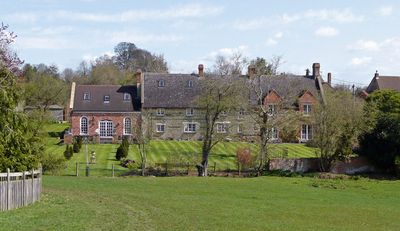
Weston Hall
4.9 km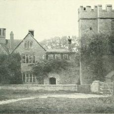
Château d'Astwell
4.2 km
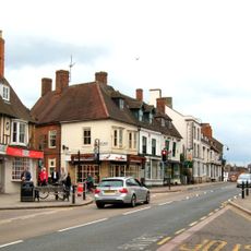
Town Hall
5.6 km
Bucknell Wood Meadows
1.9 km
Plumpton Pasture
4.8 km
Syresham Marshy Meadows
4.2 km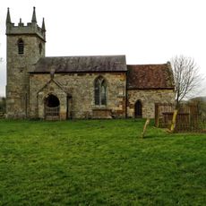
Church of St John the Baptist
4.5 km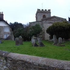
Church of St Mary, Weedon Lois
3.9 km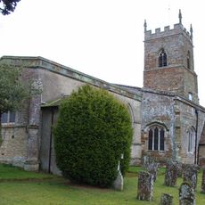
Church of St Mary
1.9 km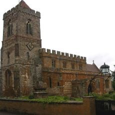
Church of St Mary
3.9 km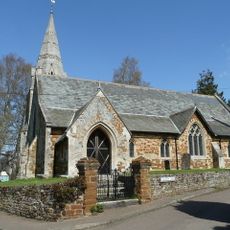
Church of St John the Baptist
948 m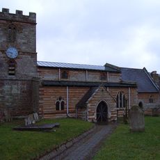
Church of St Michael
1.8 km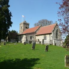
Church of St Botolph
82 m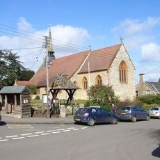
Church of St Michael
3.8 km
Roman Catholic Church
5.6 km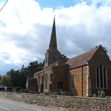
Church of St Bartholomew
4.2 km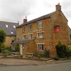
Crown Inn Public House
5.1 km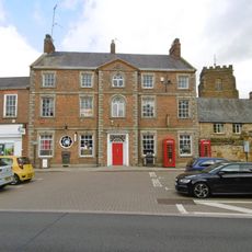
The Post Office
5.6 km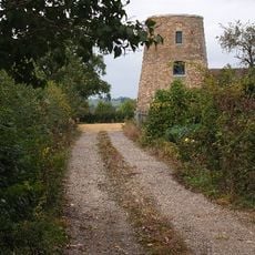
Windmill
4.2 km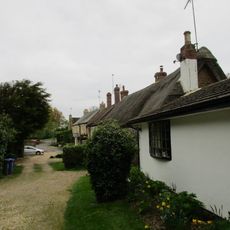
Owls Hoot
4 km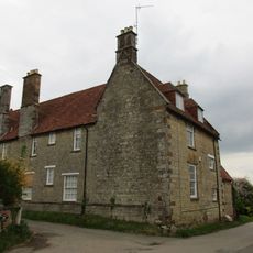
Manor House And Attached Walls
3.5 km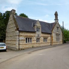
The Old School
1 km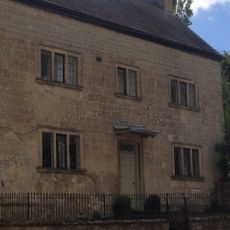
Stone Farmhouse
5.1 km
Former Post Office And Cottage
5.1 km
Bury Mount Castle
5.7 km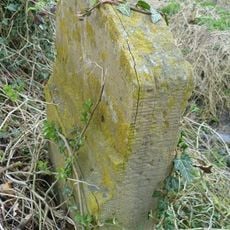
Milestone, Olney End, opp. Olney End House
4.3 km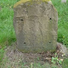
Milestone, N of 50mph sign & houses, N approach to Silverstone
3.8 kmAvis
Vous avez visité ce lieu ? Touchez les étoiles pour le noter et partager votre expérience ou vos photos avec la communauté ! Essayez maintenant ! Vous pouvez annuler à tout moment.
Trouvez des trésors cachés à chaque coin de rue !
Des petits cafés pittoresques aux points de vue planqués, fuyez la foule et dénichez les lieux qui vous ressemblent vraiment. Notre app vous facilite la vie : recherche vocale, filtres malins, itinéraires optimisés et bons plans partagés par des voyageurs du monde entier. Téléchargez vite pour vivre l'aventure en version mobile !

Une approche inédite de la découverte touristique❞
— Le Figaro
Tous les lieux qui valent la peine d'être explorés❞
— France Info
Une excursion sur mesure en quelques clics❞
— 20 Minutes