
Grimstead, civil parish in Wiltshire, United Kingdom
Emplacement : Wiltshire
Coordonnées GPS : 51.04256,-1.69040
Dernière mise à jour : 3 mars 2025 à 12:10
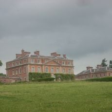
Trafalgar Park
4.6 km
Clarendon Park
2.7 km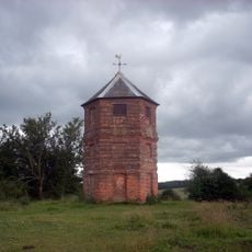
The Pepperbox
2.3 km
Blackmoor Copse
2.7 km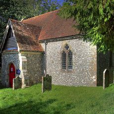
Borbach Chantry
3.8 km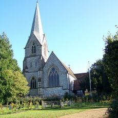
Church of St Mary
3.6 km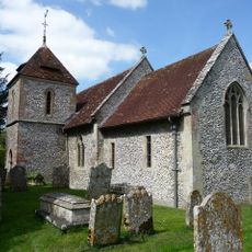
Church of St Peter
4.5 km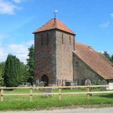
Church of St John
816 m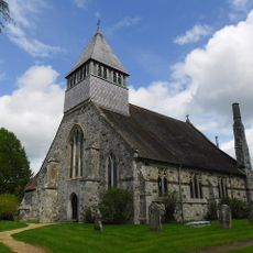
Church of All Saints
4.5 km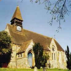
Church of St Mary, West Dean
3.9 km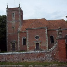
Church of All Saints
2.6 km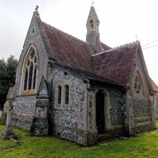
Church of Holy Trinity
677 m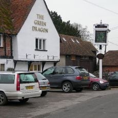
The Green Dragon Public House
3.6 km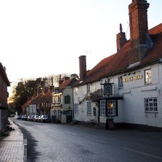
The Kings Head
4.4 km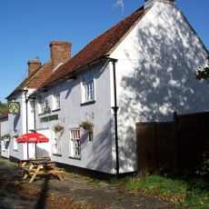
The Three Crowns
2.3 km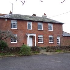
Red Lion Public House
3.9 km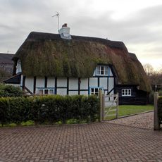
Springfield Cottage
2.5 km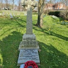
West Dean War Memorial
3.9 km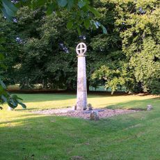
Alderbury War Memorial
3.5 km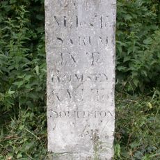
Milestone Opposite Brickworth Filling Station
3.4 km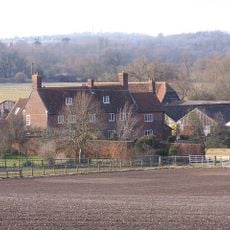
Witherington Farmhouse And Attached Cottage
4.3 km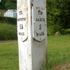
Milestone At Junction Of Clarendon Road With Southampton Road
3.2 km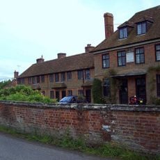
The Almshouses, Also Known As Fox's Hospital
2.5 km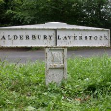
Parish Boundary Post
4.6 km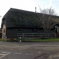
Barn At Junction Of Parsonage Hill
2.5 km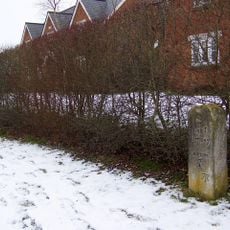
Milestone, The Street; 10m W of jcn Martins Rise (new housing devt)
4.3 km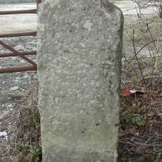
Milestone, Pepperbox Hill; 100m W track to car park,
2.4 km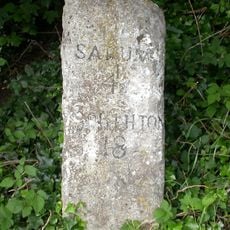
Milestone, Southampton Road; Whaddon; opp. jcn Castle Lane,
2.3 kmAvis
Vous avez visité ce lieu ? Touchez les étoiles pour le noter et partager votre expérience ou vos photos avec la communauté ! Essayez maintenant ! Vous pouvez annuler à tout moment.
Trouvez des trésors cachés à chaque coin de rue !
Des petits cafés pittoresques aux points de vue planqués, fuyez la foule et dénichez les lieux qui vous ressemblent vraiment. Notre app vous facilite la vie : recherche vocale, filtres malins, itinéraires optimisés et bons plans partagés par des voyageurs du monde entier. Téléchargez vite pour vivre l'aventure en version mobile !

Une approche inédite de la découverte touristique❞
— Le Figaro
Tous les lieux qui valent la peine d'être explorés❞
— France Info
Une excursion sur mesure en quelques clics❞
— 20 Minutes