
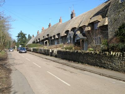
Cranford St Andrew, village britannique
Emplacement : Cranford
Coordonnées GPS : 52.38670,-0.64794
Dernière mise à jour : 26 mars 2025 à 13:28
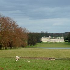
Boughton House
4.7 km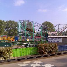
Wicksteed Park
3.7 km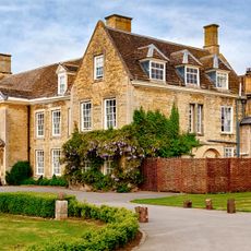
Barton Seagrave Hall
3.4 km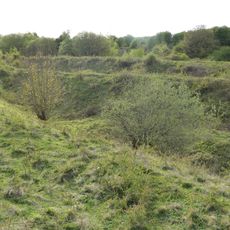
Twywell Hills and Dales
1.7 km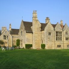
Burton Latimer Hall And Wall Attached To South
3.1 km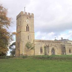
St Andrew's Church, Cranford
290 m
Wicksteed Park Nature Reserve
3.7 km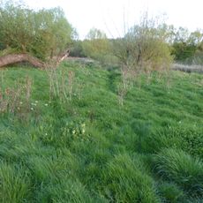
Southfield Farm Marsh
3.9 km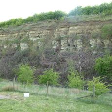
Cranford St John SSSI
989 m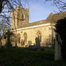
Church of St John
675 m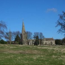
Church of St Mary
4.9 km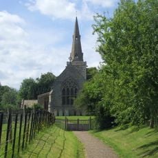
Church of St James
2.9 km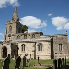
Church of St Mary, Weekley
4.9 km
Church of St Mary the Virgin
3 km
Church of St Edmund, Warkton
3.7 km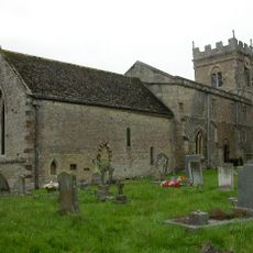
Church of St Nicholas
3.2 km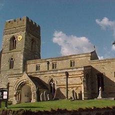
Church of All Saints
4.4 km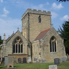
Church of Saint Botolph
3.3 km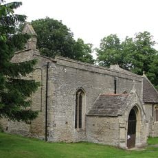
Church of St John the Baptist
3.7 km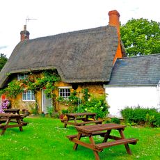
Post Office
4.8 km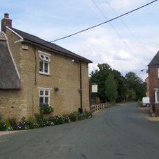
The Old Friar Public House
3.3 km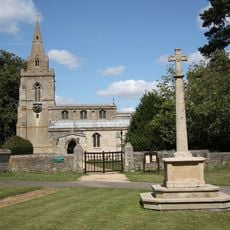
Weekley War Memorial
4.8 km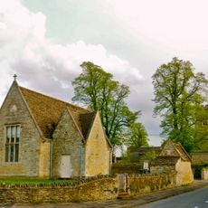
Village Hall
3.8 km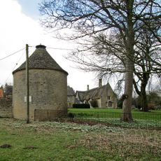
Dovecote At Dairy Farm
213 m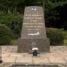
384th Bombardment Group USAAF Memorial, Grafton Underwood
3.5 km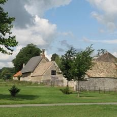
House Approximately 130 Metres South West Of Drayton House
4.9 km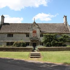
Montagu Hospital
4.8 km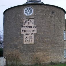
The Round House (That Part In Woodford Civil Parish) And Attached Barn
2.9 kmAvis
Vous avez visité ce lieu ? Touchez les étoiles pour le noter et partager votre expérience ou vos photos avec la communauté ! Essayez maintenant ! Vous pouvez annuler à tout moment.
Trouvez des trésors cachés à chaque coin de rue !
Des petits cafés pittoresques aux points de vue planqués, fuyez la foule et dénichez les lieux qui vous ressemblent vraiment. Notre app vous facilite la vie : recherche vocale, filtres malins, itinéraires optimisés et bons plans partagés par des voyageurs du monde entier. Téléchargez vite pour vivre l'aventure en version mobile !

Une approche inédite de la découverte touristique❞
— Le Figaro
Tous les lieux qui valent la peine d'être explorés❞
— France Info
Une excursion sur mesure en quelques clics❞
— 20 Minutes