
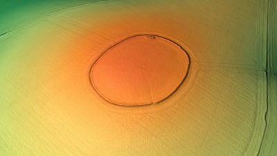
Codford Circle, neolithic hill top enclosure or possible hillfort in Wiltshire, England
Emplacement : Codford
Coordonnées GPS : 51.16430,-2.02630
Dernière mise à jour : 6 mars 2025 à 13:13
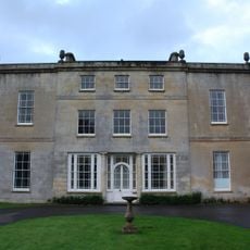
Ashton Gifford House
2.2 km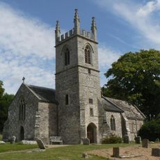
St Nicholas's Church, Fisherton Delamere
2.7 km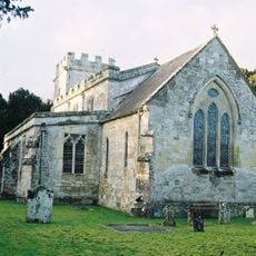
Church of St John the Baptist
2.4 km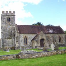
Church of St Mary
1.1 km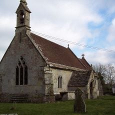
Church of St Cosmas and St Damian
2.6 km
Church of St Mary
3.4 km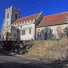
Church of St Peter
1.8 km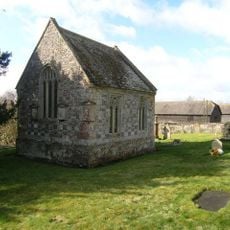
Chapel Of St Mary
3.4 km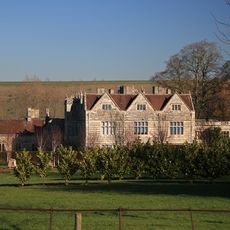
Stockton House
2 km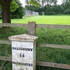
Milepost Opposite The Old Manse
1.5 km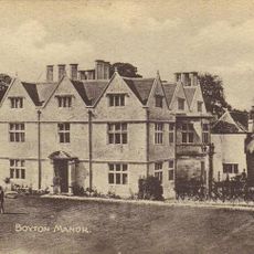
Boyton Manor
3.4 km
Pear Tree House
3.4 km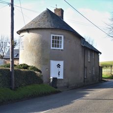
The Round House
3.3 km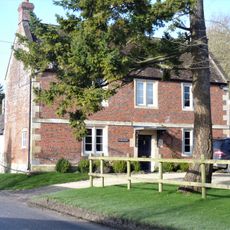
The Glebe House
3.3 km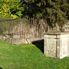
Ingram, Wallis And Parham Monuments In The Churchyard About 16 Metres South West Of Chapel Of St Mary
3.4 km
Bapton Manor
2.7 km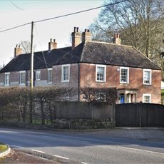
Clump House
3.4 km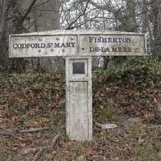
Boundary Post On West Side Of Entrance To Track To Starveall
2 km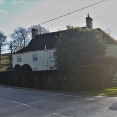
The Old Malthouse
3.4 km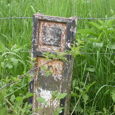
Boundary Post Opposite Entrance To Ashton Gifford House
2.1 km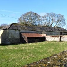
Stable To South Of The Manor
3.4 km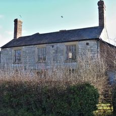
98, Chitterne Road
3.3 km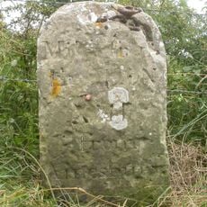
Milestone
3.3 km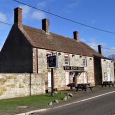
The King's Head
3.4 km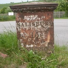
Milepost At South Entrance To The Hillside Cafe
2.6 km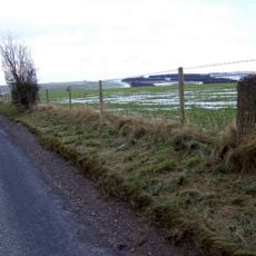
Milestone About 1 Mile South West Of Chitterne
2.8 km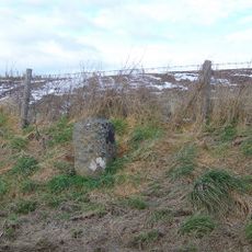
Milestone, Shrewton Road; 750m SE Chitterne jcn
3.3 km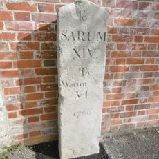
Milestone, High Street, Codford, next to footpath
1.8 kmAvis
Vous avez visité ce lieu ? Touchez les étoiles pour le noter et partager votre expérience ou vos photos avec la communauté ! Essayez maintenant ! Vous pouvez annuler à tout moment.
Trouvez des trésors cachés à chaque coin de rue !
Des petits cafés pittoresques aux points de vue planqués, fuyez la foule et dénichez les lieux qui vous ressemblent vraiment. Notre app vous facilite la vie : recherche vocale, filtres malins, itinéraires optimisés et bons plans partagés par des voyageurs du monde entier. Téléchargez vite pour vivre l'aventure en version mobile !

Une approche inédite de la découverte touristique❞
— Le Figaro
Tous les lieux qui valent la peine d'être explorés❞
— France Info
Une excursion sur mesure en quelques clics❞
— 20 Minutes