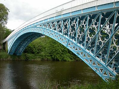
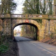
Aldford Iron Bridge, Pont en fer classé Grade I à Aldford, Angleterre
Le pont de fer d'Aldford est un pont en arc de fer qui traverse la rivière Dee avec une portée unique de 50 metres. La structure comporte des culees en gres jaune et des garde-corps en fonte sur sa couronne.
Thomas Telford a concu ce pont en fer en 1824 pour le 1er marquis de Westminster pendant la Revolution industrielle. Le projet a montre comment les avances technologiques transformaient la construction des methodes traditionnelles en pierre vers les structures metalliques modernes.
Le pont illustre la transition de la construction traditionnelle en pierre vers l'ingénierie en fer, démontrant les capacités techniques britanniques du XIXe siècle.
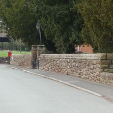
Le pont est accessible par les routes locales reliant le village d'Aldford a la zone environnante. Vous pouvez le traverser librement sans frais de peage.
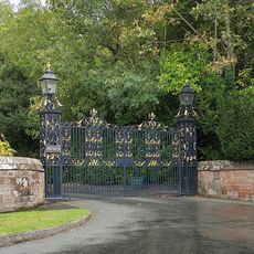
Le pont possede des portes doubles inhabituelles a sa couronne, un detail rare de sa periode de construction. Il fait egalement partie du Marches Way, un itineraire de randonnee de longue distance qui traverse la region.
La communauté des voyageurs curieux
AroundUs rassemble des milliers de lieux sélectionnés, conseils locaux et pépites cachées, enrichis chaque jour par plus de 60,000 contributeurs à travers le monde.