
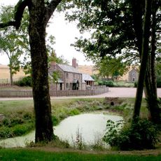
King's Caple, village britannique
Emplacement : Herefordshire
Coordonnées GPS : 51.95690,-2.63930
Dernière mise à jour : 6 avril 2025 à 15:30
Harewood Park
3.2 km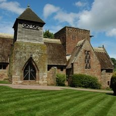
Church of All Saints
4.6 km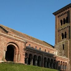
Church of St Catherine
1.7 km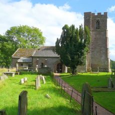
Church of St Dubricius
3.1 km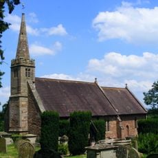
Church of St Peter
4 km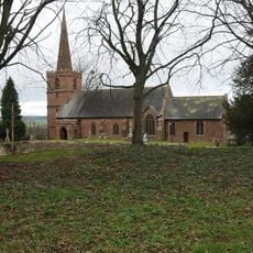
Church of St John the Baptist
285 m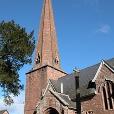
Church of St Tysilio
1.3 km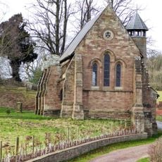
Former Church of St Denis at the Kennels, Harewood Park
3.2 km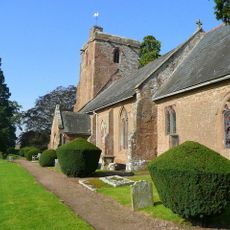
Church of St Mary
3.7 km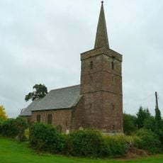
Church of St Dubricius, Ballingham
3.1 km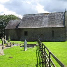
Chapel of St John
3 km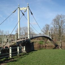
Sellack Bridge
936 m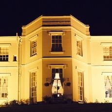
Pengethley Hotel
3.7 km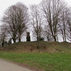
Caple Tump
242 m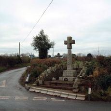
Pict's Cross War Memorial
2.2 km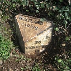
Milepost, 200m SE of "Harewood End" PH
3.8 km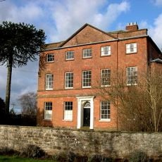
Kings Caple Court
115 m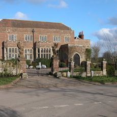
Fawley Court
2 km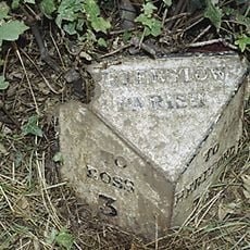
Milepost At National Grid Reference So 555249
4 km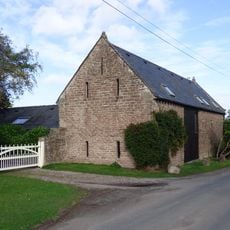
Barn And Adjoining Byre Approximately 20 Metres South East Of Kings Caple
90 m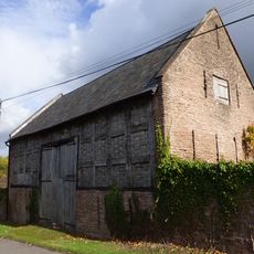
Lower Penault
1.1 km
Mounting Block Approximately 25 Metres South Of Church Of St John The Baptist
260 m
Gate Piers, Overthrow, Flanking Walls Extending About 6 Feet To North And South Sides Of Gate Piers, Steps And Retaining Walls To The East Of The Church Of St Catherine
1.6 km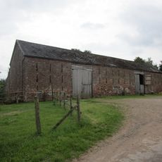
Barn And Attached Wall About 25 Yards West Of White House
1.7 km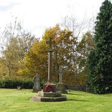
King's Caple War Memorial
277 m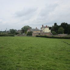
Carthage
3.7 km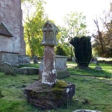
Churchyard cross in St Dubricius's churchyard
3.1 km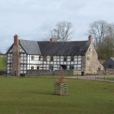
Grange Farmhouse
3.1 kmAvis
Vous avez visité ce lieu ? Touchez les étoiles pour le noter et partager votre expérience ou vos photos avec la communauté ! Essayez maintenant ! Vous pouvez annuler à tout moment.
Trouvez des trésors cachés à chaque coin de rue !
Des petits cafés pittoresques aux points de vue planqués, fuyez la foule et dénichez les lieux qui vous ressemblent vraiment. Notre app vous facilite la vie : recherche vocale, filtres malins, itinéraires optimisés et bons plans partagés par des voyageurs du monde entier. Téléchargez vite pour vivre l'aventure en version mobile !

Une approche inédite de la découverte touristique❞
— Le Figaro
Tous les lieux qui valent la peine d'être explorés❞
— France Info
Une excursion sur mesure en quelques clics❞
— 20 Minutes