
Aston Ingham, village and civil parish in Herefordshire, United Kingdom
Emplacement : Herefordshire
Coordonnées GPS : 51.91056,-2.46049
Dernière mise à jour : 18 avril 2025 à 07:56

May Hill
2.5 km
International Centre for Birds of Prey
2.2 km
Ariconium
4.1 km
Hobbs Quarry SSSI, Longhope
4.3 km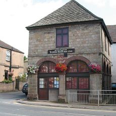
Old Town Hall
5.3 km
Church of St Michael and All Angels
5.5 km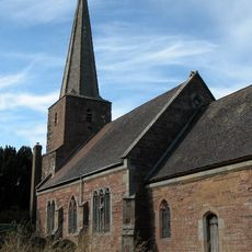
Church of St John the Baptist
3.3 km
Church of St Lawrence
5.3 km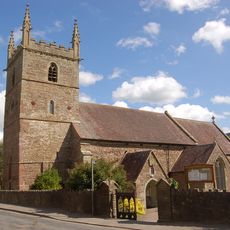
Church of All Saints
3.9 km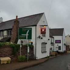
The Crown Inn
2.9 km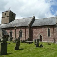
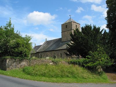
Church of St John the Baptist
112 m
Baptist Church
4.5 km
Church of St Mary, Linton
2.9 km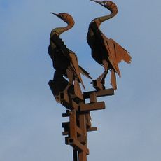
Cormorant sculpture
4.1 km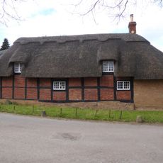
Bradfords Cottage
3.5 km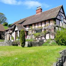
Upper Roxbush
3.1 km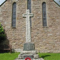
Weston under Penyard War Memorial
5.3 km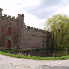
Barn On West Side Of Farmyard And Curtain Wall Enclosing Yard At Bollitree Castle
4.7 km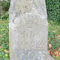
Milestone Approximately 20 Metres East Of Weston House
5.1 km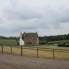
Two Park Farmhouse
3.5 km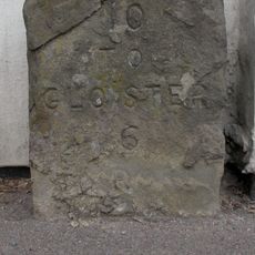
Milestone Against Garden Wall Of Hopebrook
2.9 km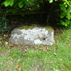
Cross Base
3.9 km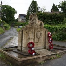
Longhope War Memorial at Junction with Monmouth Road
5.1 km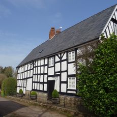
The Tanhouse
4.3 km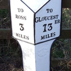
Milepost, Ryeford South
4.5 km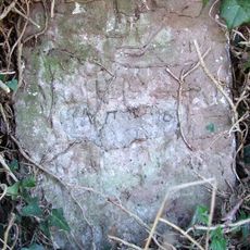
Milestone, Eccleswall
3.3 km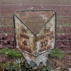
Milepost, 80m S jcn B4224
3.4 km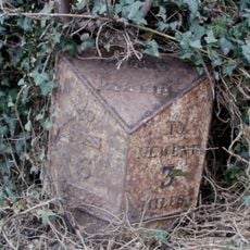
Milepost, Gorsley
2.4 kmVous avez visité ce lieu ? Touchez les étoiles pour le noter et partager votre expérience ou vos photos avec la communauté ! Essayez maintenant ! Vous pouvez annuler à tout moment.
Trouvez des trésors cachés à chaque coin de rue !
Des petits cafés pittoresques aux points de vue planqués, fuyez la foule et dénichez les lieux qui vous ressemblent vraiment. Notre app vous facilite la vie : recherche vocale, filtres malins, itinéraires optimisés et bons plans partagés par des voyageurs du monde entier. Téléchargez vite pour vivre l'aventure en version mobile !

Une approche inédite de la découverte touristique❞
— Le Figaro
Tous les lieux qui valent la peine d'être explorés❞
— France Info
Une excursion sur mesure en quelques clics❞
— 20 Minutes