
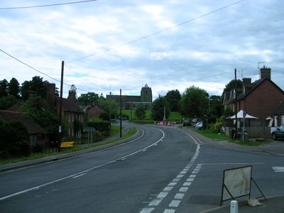
Danehill, village britannique
Emplacement : Wealden
Coordonnées GPS : 51.03000,0.01942
Dernière mise à jour : 15 avril 2025 à 21:39
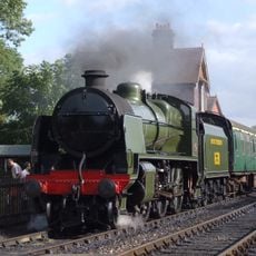
Bluebell Railway
4.6 km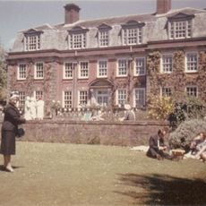
Birch Grove
2.9 km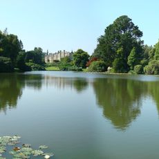
Sheffield Park Garden
3.4 km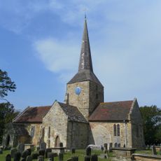
St Giles' Church, Horsted Keynes
3.5 km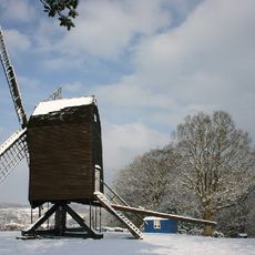
Nutley Windmill
3.7 km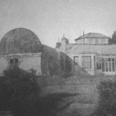
Observatoire Isaac-Roberts
2.5 km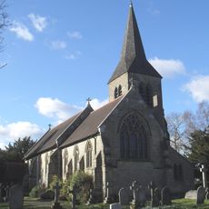
All Saints Church
6 km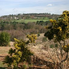
Old Lodge
4.8 km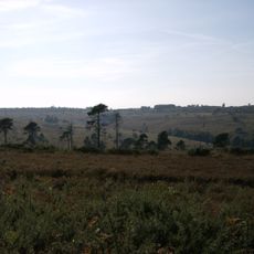
The landscape of Ashdown Forest
5 km
The Hatch Inn
6.8 km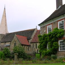
The Parish Church of St Andrew and St Mary
4.3 km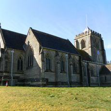
The Parish Church of All Saints
1.5 km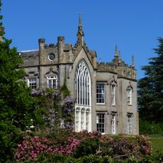
Sheffield Park House
3.4 km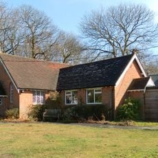
Chelwood Gate Church
2.1 km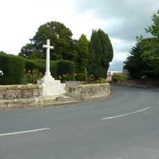
Fletching War Memorial
4.3 km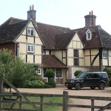
Holmesdale Farmhouse
2.2 km
Treemans
3.9 km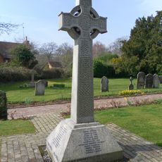
Horsted Keynes War Memorial
3.5 km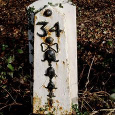
Milestone, 35 Miles From London
4.9 km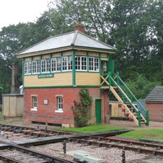
Horsted Keynes Signal Box
4.9 km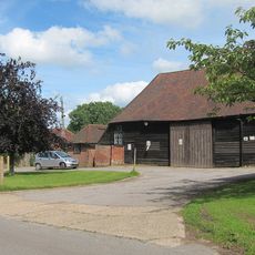
Barn To The West South West Of Cinder Hill Farmhouse
4.4 km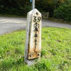
Milepost, Forest Lodge Nursing Home, Cackle Street, jct of High Street with Huggets Lane
3.7 km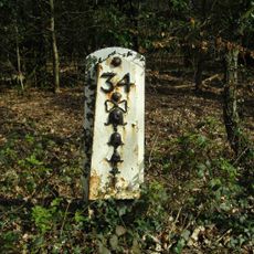
Milepost, Highgate, Kidbrooke Park
6.2 km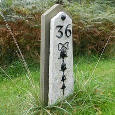
Milepost, Wych Cross, Tree Car park, Chelwood Vachey
3.4 km
Milepost, Camp Hill; 330m N track to Crows Nest
6 km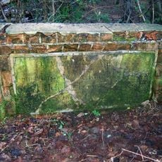
Guidestone, jct with A22
4.1 km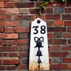
Milepost, High Street, Nutley, just N of jct with Nursery Lane
2.6 km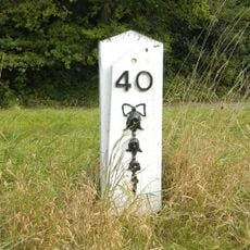
Milepost, Lampool roundabout, NE edge
4.9 kmAvis
Vous avez visité ce lieu ? Touchez les étoiles pour le noter et partager votre expérience ou vos photos avec la communauté ! Essayez maintenant ! Vous pouvez annuler à tout moment.
Trouvez des trésors cachés à chaque coin de rue !
Des petits cafés pittoresques aux points de vue planqués, fuyez la foule et dénichez les lieux qui vous ressemblent vraiment. Notre app vous facilite la vie : recherche vocale, filtres malins, itinéraires optimisés et bons plans partagés par des voyageurs du monde entier. Téléchargez vite pour vivre l'aventure en version mobile !

Une approche inédite de la découverte touristique❞
— Le Figaro
Tous les lieux qui valent la peine d'être explorés❞
— France Info
Une excursion sur mesure en quelques clics❞
— 20 Minutes