
Four Marks, village britannique
Emplacement : East Hampshire
Site web : http://www.fourmarksvillage.co.uk/
Partage une frontière avec : Bighton
Site web : http://fourmarksvillage.co.uk
Coordonnées GPS : 51.11155,-1.04434
Dernière mise à jour : 4 avril 2025 à 10:40
Rotherfield Park
3.8 km
Alton Abbey
2.7 km
Farringdon Church Of England Primary School And Village Hall
4.2 km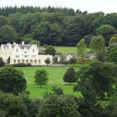
Pelham Place
3.5 km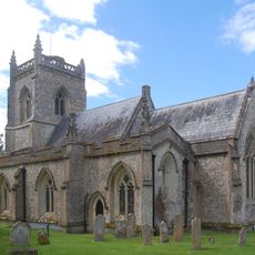
Church of St James
4.2 km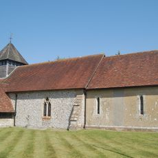
Church of St Andrew
2.5 km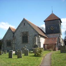
Church of St Peter
4 km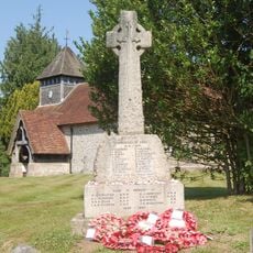
Medstead War Memorial
2.5 km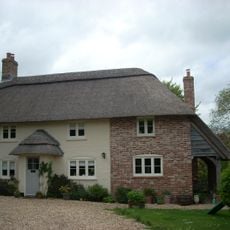
Upper Woodside Farm Cottage
2.2 km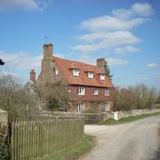
Lower Woodside Farmhouse
2.6 km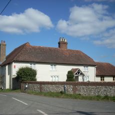
Town Street Farmhouse
3.9 km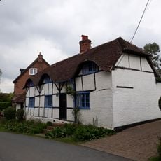
Angerton
4.2 km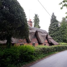
Cruck Cottage
4.2 km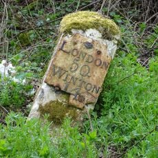
Milestone, Bricklin Farm
2.3 km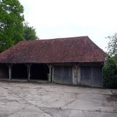
Cartshed 60 Metres South Of Manor House Farmhouse
4.2 km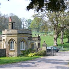
Front Lodge
4.2 km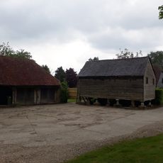
Granary 50 Metres South Of Manor House Farmhouse
4.2 km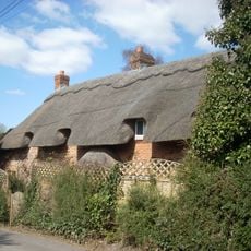
Sparrow Thatch
4 km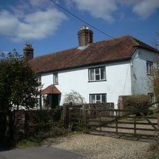
Fordes
4 km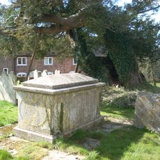
Table Tomb 9 Metres South Of Porch
4 km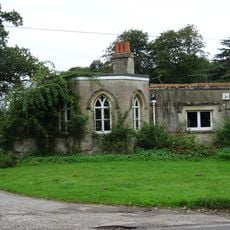
Lower Lodge
3.9 km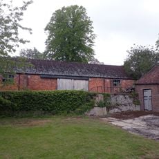
Barn 100 Metres South-West Of Manor House Farmhouse
4.1 km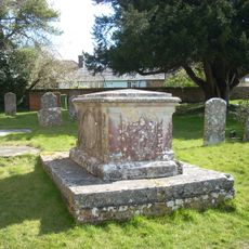
Table Tomb 2 Metres South Of The Tower
4 km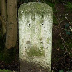
Milestone, Ropley Soke
2.5 km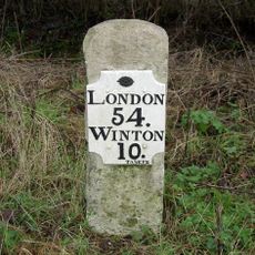
Milestone, Gascoigne Lane
4 km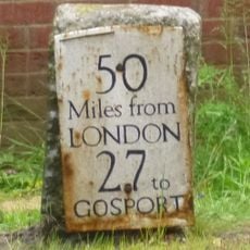
Milestone, Lower Farringdon (July 15 reported moved 50m to grass in front of new brick garage)
3.5 km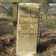
Milestone, Pelham Place
3.7 km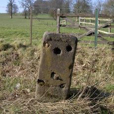
Milestone, opp. a row of houses
4.3 kmAvis
Vous avez visité ce lieu ? Touchez les étoiles pour le noter et partager votre expérience ou vos photos avec la communauté ! Essayez maintenant ! Vous pouvez annuler à tout moment.
Trouvez des trésors cachés à chaque coin de rue !
Des petits cafés pittoresques aux points de vue planqués, fuyez la foule et dénichez les lieux qui vous ressemblent vraiment. Notre app vous facilite la vie : recherche vocale, filtres malins, itinéraires optimisés et bons plans partagés par des voyageurs du monde entier. Téléchargez vite pour vivre l'aventure en version mobile !

Une approche inédite de la découverte touristique❞
— Le Figaro
Tous les lieux qui valent la peine d'être explorés❞
— France Info
Une excursion sur mesure en quelques clics❞
— 20 Minutes