
Cold Higham, village britannique
Emplacement : West Northamptonshire
Coordonnées GPS : 52.17590,-1.04360
Dernière mise à jour : 3 mars 2025 à 03:07

Gayton Manor House
5.2 km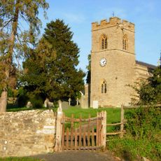
Tiffield St. John the Baptist Church
4.8 km
Ramsden Corner Plantation
4.3 km
Church of St Martin
2.4 km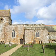
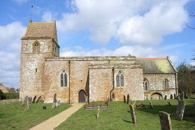
Church of St Luke
771 m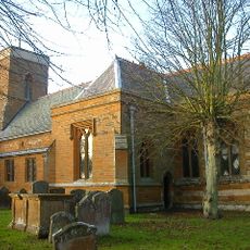
Church of St Peter and St Paul
5.2 km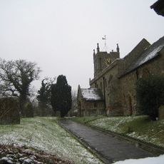
Church of St Mary
4.4 km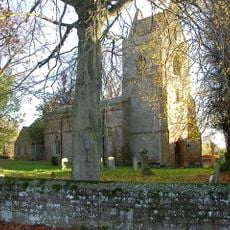
Church of St Peter and St Paul
4.6 km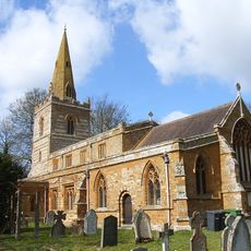
Church of St Michael and All Angels
4.3 km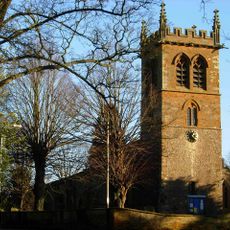
Church of St Mary the Virgin
5.3 km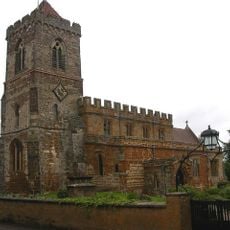
Church of St Mary
4.1 km
Church of St Michael
5 km
Church of Holy Cross
1.8 km
Church of St Michael
4.5 km
Church of St James
3.4 km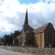
Church of St Bartholomew
3.9 km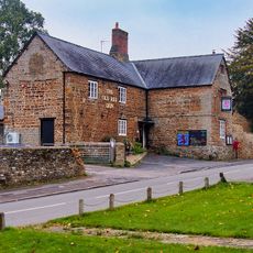
Old Red Lion Public House
2.4 km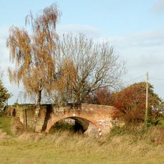
Bridge Number 45
5.5 km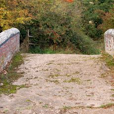
Bridge Number 33
4.1 km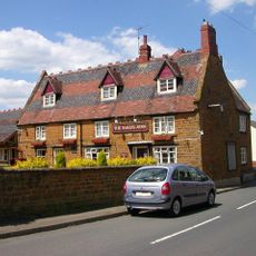
The Bakers Arms Public House
4.4 km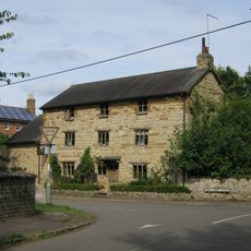
Bridge House
4.7 km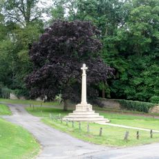
Litchborough War Memorial
2.4 km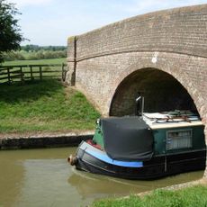
Bridge Number 42
4.6 km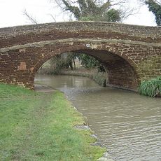
Bridge Number 43
4.8 km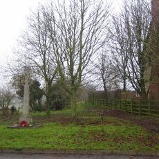
Church Stowe War Memorial
4.3 km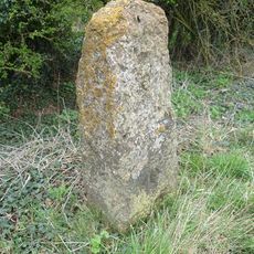
Milestone, N of Fosters Booth
1.2 km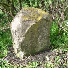
Milestone, Geese Bridge
2.1 km
Milestone, above Stowehill Railway Tunnel
5.1 kmAvis
Vous avez visité ce lieu ? Touchez les étoiles pour le noter et partager votre expérience ou vos photos avec la communauté ! Essayez maintenant ! Vous pouvez annuler à tout moment.
Trouvez des trésors cachés à chaque coin de rue !
Des petits cafés pittoresques aux points de vue planqués, fuyez la foule et dénichez les lieux qui vous ressemblent vraiment. Notre app vous facilite la vie : recherche vocale, filtres malins, itinéraires optimisés et bons plans partagés par des voyageurs du monde entier. Téléchargez vite pour vivre l'aventure en version mobile !

Une approche inédite de la découverte touristique❞
— Le Figaro
Tous les lieux qui valent la peine d'être explorés❞
— France Info
Une excursion sur mesure en quelques clics❞
— 20 Minutes