
Hadzor, village britannique
Emplacement : Wychavon
Coordonnées GPS : 52.25797,-2.12560
Dernière mise à jour : 6 mars 2025 à 07:57

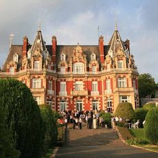
Chateau Impney
1.8 km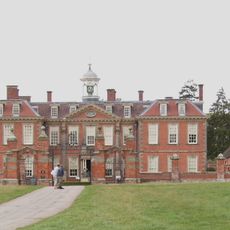
Hanbury Hall
3.3 km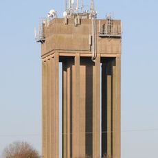
Droitwich Water Tower
1.4 km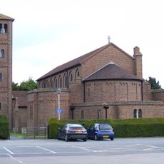
Church of the Sacred Heart and St Catherine of Alexandria
2 km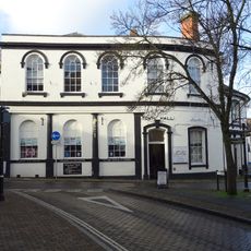
Town Hall
2 km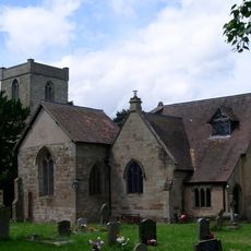
Church of St Peter
1.3 km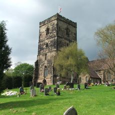
Church of St Augustine
2 km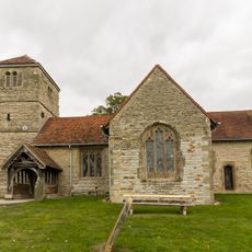
Church of St James
3.2 km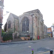
Church of St Andrew
1.9 km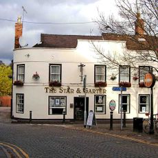
Star And Garter Inn
2 km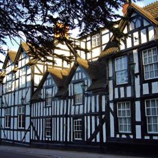
Raven Hotel
1.9 km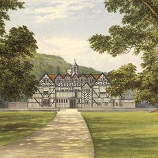
Mere Hall
3.7 km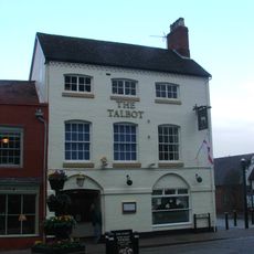
Talbot Hotel
1.9 km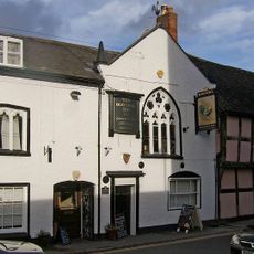
73-77, Friar Street
2.1 km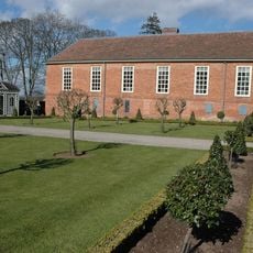
The Long Gallery About 30 Yards North-west Of Hanbury Hall And Attached Wall To South-east
3.2 km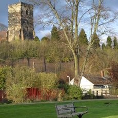
Roman fort, Saxon church and medieval hospital at Dodderhill
2 km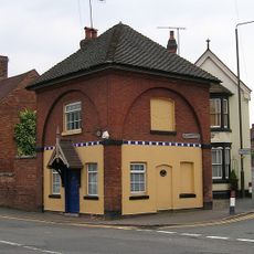
2, Hanbury Road
1.7 km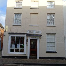
43, High Street
1.9 km
The Old Manor
317 m
The Moorlands
3.4 km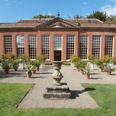
The Orangery And Adjoining Walls About 120 Yards West Of Hanbury Hall
3.1 km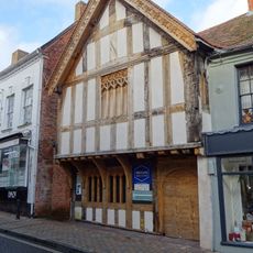
Nos. 31-35 (odd) High Street, Droitwich
1.9 km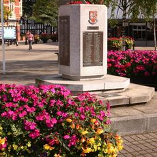
Droitwich War Memorial Stone
2 km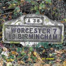
Milestone, Bromsgrove Road, Hill End, N of Dodderhill Road jct
1.9 km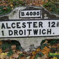
Milestone, Hanbury Road, E of M5 flyover, W of Hanbury Wharf
932 m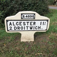
Milestone, Saltway, E of Railway bridge, nr jct with Goosehill Lane
1.7 km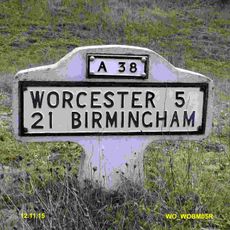
Milestone, N of Martin Hussingtree
3.1 km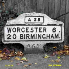
Milestone, Worcester Roadnr jct with Westwood Avenue, Witton
1.9 kmAvis
Vous avez visité ce lieu ? Touchez les étoiles pour le noter et partager votre expérience ou vos photos avec la communauté ! Essayez maintenant ! Vous pouvez annuler à tout moment.
Trouvez des trésors cachés à chaque coin de rue !
Des petits cafés pittoresques aux points de vue planqués, fuyez la foule et dénichez les lieux qui vous ressemblent vraiment. Notre app vous facilite la vie : recherche vocale, filtres malins, itinéraires optimisés et bons plans partagés par des voyageurs du monde entier. Téléchargez vite pour vivre l'aventure en version mobile !

Une approche inédite de la découverte touristique❞
— Le Figaro
Tous les lieux qui valent la peine d'être explorés❞
— France Info
Une excursion sur mesure en quelques clics❞
— 20 Minutes