
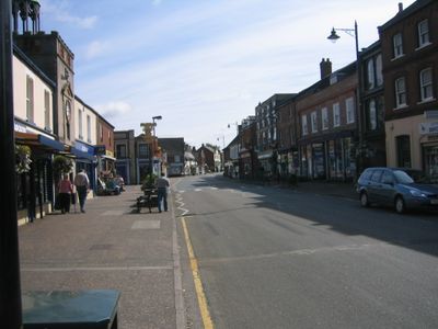
Watton, localité britannique du comté anglais de Norfolk
Emplacement : Breckland
Site web : http://www.wattontowncouncil.gov.uk/
Partage une frontière avec : Bradenham
Site web : http://wattontowncouncil.gov.uk
Coordonnées GPS : 52.57127,0.82586
Dernière mise à jour : 4 avril 2025 à 12:04
Page's Place
2.4 km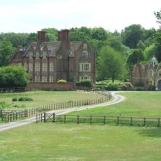
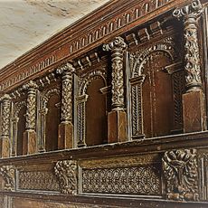
Merton Hall
3.1 km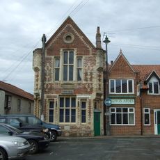
Wayland Hall
48 m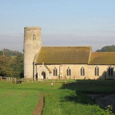
Threxton, All Saints
3.2 km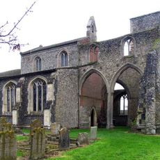
Church of St Andrew, Little Cressingham
4.5 km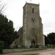
Church of Holy Cross
5.4 km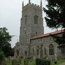
Church of St George
2.1 km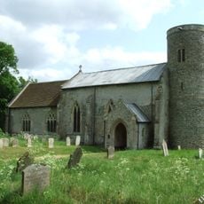
Church of St. Peter
2.8 km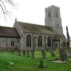
Church of Ss Peter and Paul
3.1 km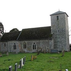
Church of St. John Evangelist
2 km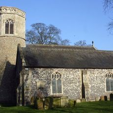
Church of St. Mary
553 m
Church of St. Martin
4.1 km
Church of Ss Peter and Paul
3.7 km
Chequers Inn
3.9 km
Church of St Nicholas
4.7 km
Clermont Hall
4.3 km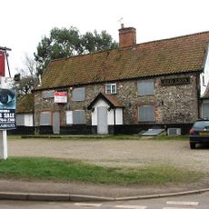
Red Lion Public House
5.4 km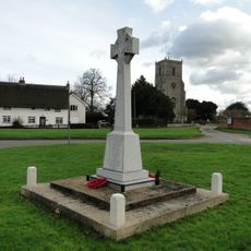
Caston War Memorial
5.3 km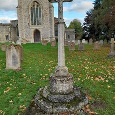
Carbrooke War Memorial
3.6 km
Scoulton War Memorial
5.7 km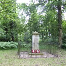
Tottington War Memorial, Norfolk
3.3 km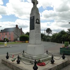
Watton War Memorial
190 m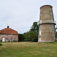
Wind And Water Mill
4.6 km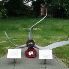
RAF Watton and Bodney WWII Memorial
2 km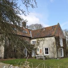
College Farmhouse
4.5 km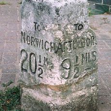
Milestone, 5yds E of Griston Rd in front of office/shop
698 m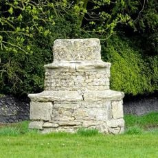
Village cross, 70m north west of the Holy Cross Church
5.4 km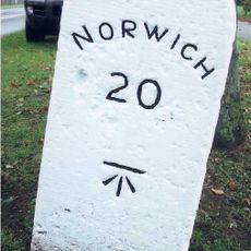
Milestone, 120yds W of Portal Avenue
1.5 kmAvis
Vous avez visité ce lieu ? Touchez les étoiles pour le noter et partager votre expérience ou vos photos avec la communauté ! Essayez maintenant ! Vous pouvez annuler à tout moment.
Trouvez des trésors cachés à chaque coin de rue !
Des petits cafés pittoresques aux points de vue planqués, fuyez la foule et dénichez les lieux qui vous ressemblent vraiment. Notre app vous facilite la vie : recherche vocale, filtres malins, itinéraires optimisés et bons plans partagés par des voyageurs du monde entier. Téléchargez vite pour vivre l'aventure en version mobile !

Une approche inédite de la découverte touristique❞
— Le Figaro
Tous les lieux qui valent la peine d'être explorés❞
— France Info
Une excursion sur mesure en quelques clics❞
— 20 Minutes