
Nuthurst, village au Royaume-Uni
Emplacement : Horsham
Altitude : 54 m
Coordonnées GPS : 51.02263,-0.30076
Dernière mise à jour : 8 mars 2025 à 00:34
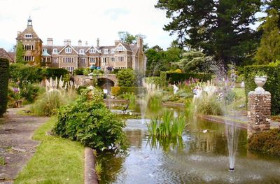
Leonardslee
2.9 km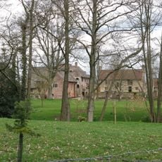
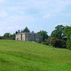
Chesworth House
3.7 km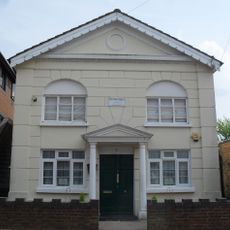
Madina Mosque, Horsham
4.5 km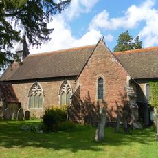
Holy Innocents Church, Southwater
4.1 km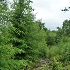
St Leonard's Forest SSSI
4.3 km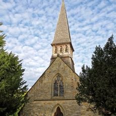
The Parish Church of St Andrew
54 m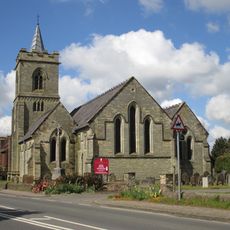
The Parish Church of the Holy Trinity
3 km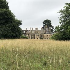
Sedgwick Park
1 km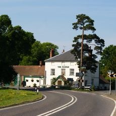
The Plough Inn
3 km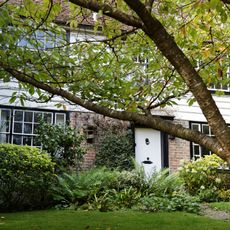
The Old Post Office
112 m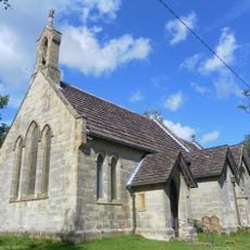
St. John's Church
3.7 km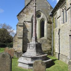
Lower Beeding War Memorial
3 km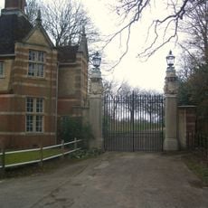
East Lodge and gateway, Christ's Hospital School
4.5 km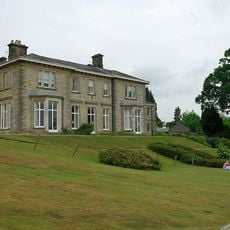
Leonardslee
2.9 km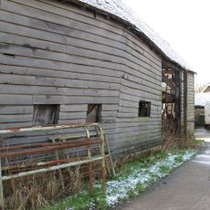
The Old Farmhouse At Nuthurst Farm
378 m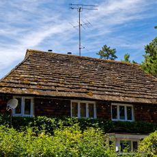
The Dell
82 m
Little Coltstaple Farm
2 km
Cook's Farmhouse
245 m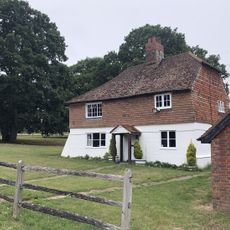
Elliotts Farmhouse
1.6 km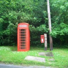
K6 Telephone Kiosk Opposite The Old Post Office
108 m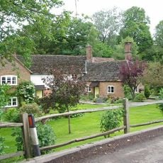
Hammer Pond Guest House
3.8 km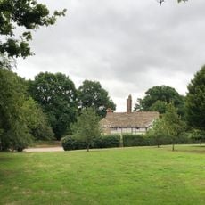
Stakers Farmhouse
2.5 km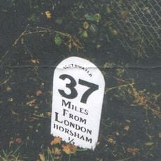
Milestone, Worthing Road, just S of railway bridge
4.6 km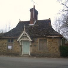
Old Lodge To North East Of Chirst's Hospital
4.5 km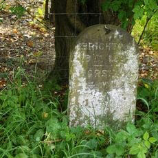
Milestone, under trees
2.5 km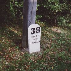
Milestone, Worthing Road, S of A24/B2237 roundabout
3.7 km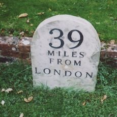
Milestone, Worthing Road, in front of "The Old School"
3.6 km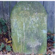
Milestone, Mill Straight, W Fieldings
3.5 kmAvis
Vous avez visité ce lieu ? Touchez les étoiles pour le noter et partager votre expérience ou vos photos avec la communauté ! Essayez maintenant ! Vous pouvez annuler à tout moment.
Trouvez des trésors cachés à chaque coin de rue !
Des petits cafés pittoresques aux points de vue planqués, fuyez la foule et dénichez les lieux qui vous ressemblent vraiment. Notre app vous facilite la vie : recherche vocale, filtres malins, itinéraires optimisés et bons plans partagés par des voyageurs du monde entier. Téléchargez vite pour vivre l'aventure en version mobile !

Une approche inédite de la découverte touristique❞
— Le Figaro
Tous les lieux qui valent la peine d'être explorés❞
— France Info
Une excursion sur mesure en quelques clics❞
— 20 Minutes