
Stapleton, village and civil parish in Richmondshire, North Yorkshire, UK
Emplacement : North Yorkshire
Coordonnées GPS : 54.50351,-1.59439
Dernière mise à jour : 2 avril 2025 à 06:51
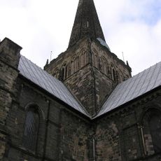
Church of St Cuthbert
3.6 km
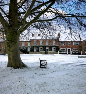
South Park
2.7 km
Hell Kettles
2.1 km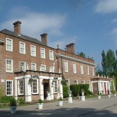
Blackwell Grange
2.1 km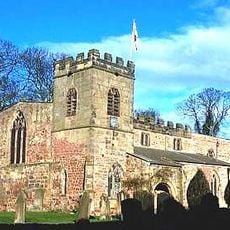
St Peter's Church
3.4 km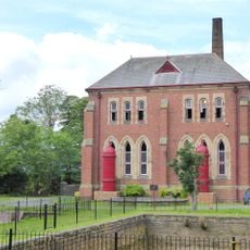
Tees Cottage Pumping Station
2 km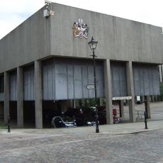
Darlington Town Hall
3.5 km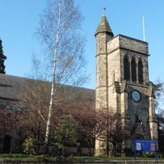
Church of Holy Trinity
3.3 km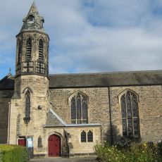
Roman Catholic Church of St Augustine
3.2 km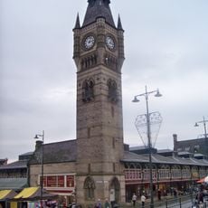
Darlington Clock Tower
3.5 km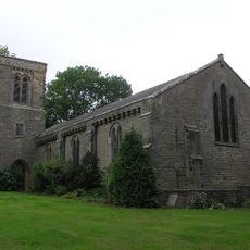
Church of St Cuthbert and St Mary
4.6 km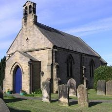
Church of St Peter
1.7 km
Statue of Joseph Pease
3.6 km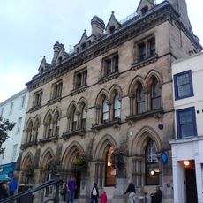
Barclays Bank
3.5 km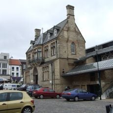
Old Town Hall
3.4 km
South African War Memorial Within St Cuthbert's Churchyard
3.6 km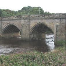
Croft Bridge
3.4 km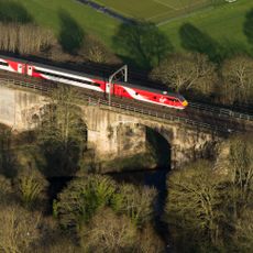
Tees Railway Bridge
4 km
The Market Building
3.5 km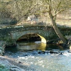
Clow Beck Packhorse Bridge
2.7 km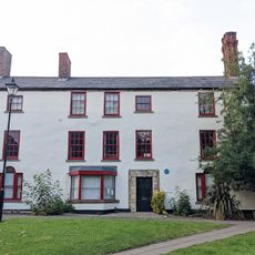
Pease's House
3.4 km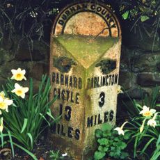
Milepost In Front Of Number 12 (Cedar Ridge)
3 km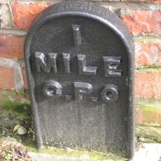
Pierremont Crescent, by No. 27
3.1 km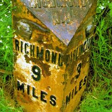
Mile Post Opposite Northern End Of Drive To Cleasby Grange
1.2 km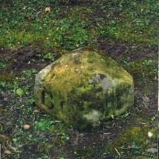
Milestone, Conniscliffe Road, Broken Brae carpark, nr pumping station
1.8 km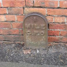
Blackwell Lane, opp. No 78
2.2 km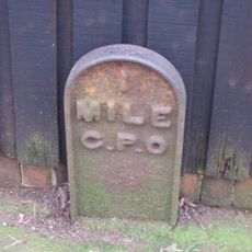
Conniscliffe Road, by Earlston House, E of jct with Linden Avenue
2.2 km
Carmel Road North, nr Ravensthorpe School, between Abbey Road and Cleveland Terrace
2.4 kmVous avez visité ce lieu ? Touchez les étoiles pour le noter et partager votre expérience ou vos photos avec la communauté ! Essayez maintenant ! Vous pouvez annuler à tout moment.
Trouvez des trésors cachés à chaque coin de rue !
Des petits cafés pittoresques aux points de vue planqués, fuyez la foule et dénichez les lieux qui vous ressemblent vraiment. Notre app vous facilite la vie : recherche vocale, filtres malins, itinéraires optimisés et bons plans partagés par des voyageurs du monde entier. Téléchargez vite pour vivre l'aventure en version mobile !

Une approche inédite de la découverte touristique❞
— Le Figaro
Tous les lieux qui valent la peine d'être explorés❞
— France Info
Une excursion sur mesure en quelques clics❞
— 20 Minutes