Tintern, commune galloise
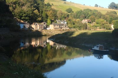
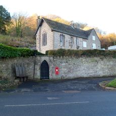
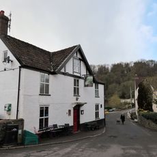
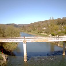
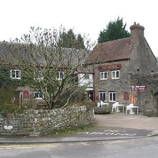
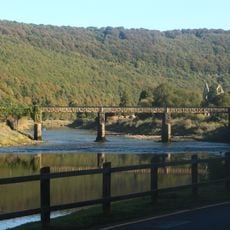
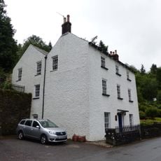
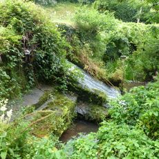
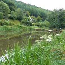
Tintern est un petit village de la vallée de la Wye, situé sur la rive occidentale de la rivière Wye, près de la frontière entre le Pays de Galles et l'Angleterre. Des bâtiments en pierre longent les bords du fleuve, tandis que des collines boisées s'élèvent à pic des deux côtés de la vallée.
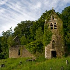
La région autour de Tintern est habitée depuis au moins le haut Moyen Âge, et la tradition locale la relie à un ermite du VIe siècle. La fondation d'une abbaye cistercienne en 1131 a façonné le village pendant des siècles, jusqu'à ce que l'abbaye soit dissoute sous Henri VIII au XVIe siècle.
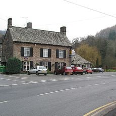
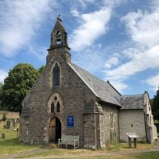
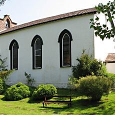
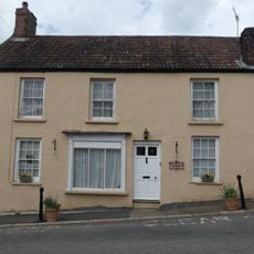
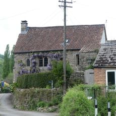
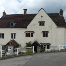
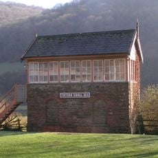
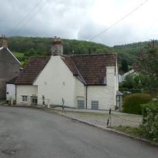
Le nom Tintern viendrait d'une ancienne expression galloise signifiant "royaume de la rivière". Le long de la route principale, on trouve des maisons en pierre, une église paroissiale et quelques commerces locaux qui donnent au village une allure quotidienne et sans hâte.
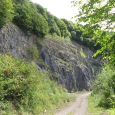
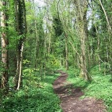
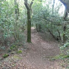
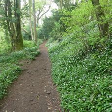
Tintern est accessible par une seule route longeant la rivière, ce qui rend l'arrivée en bus ou en voiture simple. Les randonneurs doivent porter des chaussures solides, car les sentiers forestiers des collines environnantes peuvent être raides et irréguliers, surtout après la pluie.
Un vignoble près du village produit du vin aussi loin au nord en Grande-Bretagne, ce que la plupart des visiteurs ne s'attendent pas à trouver dans une vallée fluviale galloise. Les ruines de l'abbaye voisine ont également contribué à faire de la vallée de la Wye l'une des premières routes touristiques de Grande-Bretagne, attirant des visiteurs dès la fin du XVIIIe siècle.
La communauté des voyageurs curieux
AroundUs rassemble des milliers de lieux sélectionnés, conseils locaux et pépites cachées, enrichis chaque jour par plus de 60,000 contributeurs à travers le monde.