
Shutford, ville du Royaume-Uni
Emplacement : Cherwell
Partage une frontière avec : Epwell, Shenington with Alkerton, Wroxton, North Newington, Broughton, Swalcliffe, Sibford Ferris, Sibford Gower
Coordonnées GPS : 52.06000,-1.43800
Dernière mise à jour : 3 mars 2025 à 00:21
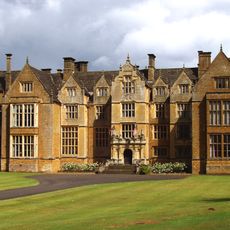
Abbaye de Wroxton
3.3 km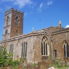
Church of St Peter and St Paul
2.6 km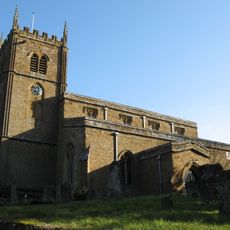
Church of All Saints, Wroxton
3.4 km
Church of St Michael
2.8 km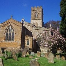
Church of St Nicholas
2.6 km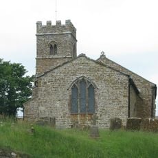
Church of St Anne
3.3 km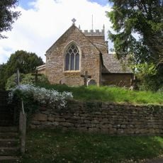
Church of Holy Trinity
2.8 km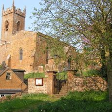
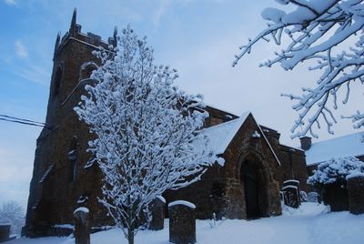
Church of St Martin
146 m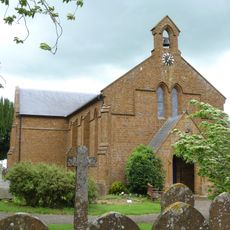
Church of Holy Trinity
3.9 km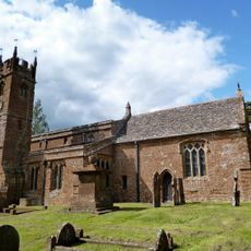
Church of St Mary Magdalene
1.5 km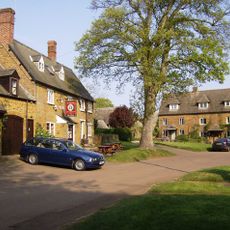
The Bell Inn
2.9 km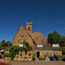
George And Dragon Public House
154 m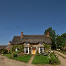
Pond Cottage
4.3 km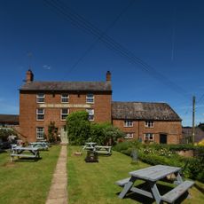
The Butchers Arms Public House
1.4 km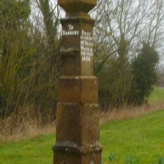
Stone Guide Post
2.6 km
The Wykham Arms Public House
4.2 km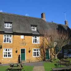
The North Arms Public House
3.2 km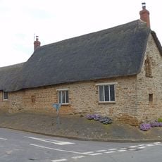
Carters Yard
4.2 km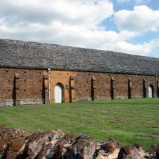
Tithe Barn
2.6 km
Manor House
4.2 km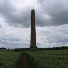
Obelisk Approximately 400 Metres South East Of Wroxton College
3.5 km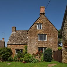
Stickleys House
4.4 km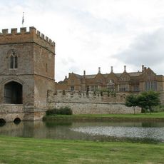
Broughton Castle, Gatehouse, Bridge And Curtain Wall
3.8 km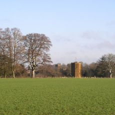
Dovecote Approximately 200 Metres South West Of Wroxton College
3.1 km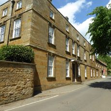
Sibford School
4.2 km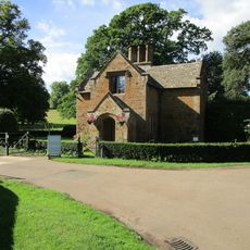
Broughton Castle, Lodge
3.7 km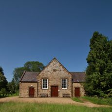
Sibford Quaker Meeting House
4.3 km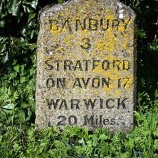
Milestone, Stratford Road; opp. White Horse PH
3.3 kmAvis
Vous avez visité ce lieu ? Touchez les étoiles pour le noter et partager votre expérience ou vos photos avec la communauté ! Essayez maintenant ! Vous pouvez annuler à tout moment.
Trouvez des trésors cachés à chaque coin de rue !
Des petits cafés pittoresques aux points de vue planqués, fuyez la foule et dénichez les lieux qui vous ressemblent vraiment. Notre app vous facilite la vie : recherche vocale, filtres malins, itinéraires optimisés et bons plans partagés par des voyageurs du monde entier. Téléchargez vite pour vivre l'aventure en version mobile !

Une approche inédite de la découverte touristique❞
— Le Figaro
Tous les lieux qui valent la peine d'être explorés❞
— France Info
Une excursion sur mesure en quelques clics❞
— 20 Minutes