
Wokingham Without, village britannique
Emplacement : Wokingham
Coordonnées GPS : 51.38900,-0.80100
Dernière mise à jour : 6 mars 2025 à 08:58

Easthampstead Park
1.4 km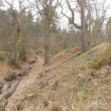
Caesar's Camp, Bracknell Forest
2.9 km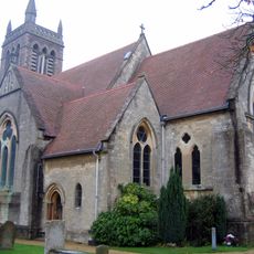
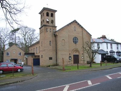
St Michael and St Mary Magdalene's Church, Easthampstead
3.2 km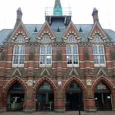
Wokingham Town Hall
3.3 km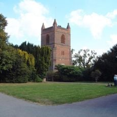
Church of St James
4.9 km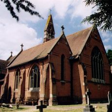
Church of St John The Baptist
2.3 km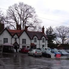
The Queen's Oak
4.8 km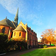
Chapel At Wellington College With Porch Colonnade And Gateway Adjoining West End
2.9 km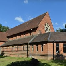
Church of St Mark
4 km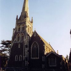
Church of St Paul
4.1 km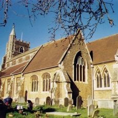
Church of All Saints
3.3 km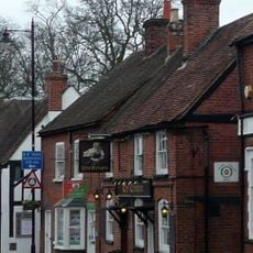
The Crispin Public House
3.3 km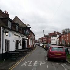
Queen's Head Public House
3.7 km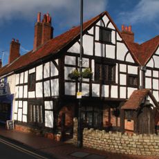
Tudor House
3.6 km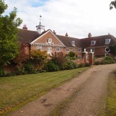
Henry Lucas Hospital And Attached Water Pumps
2.6 km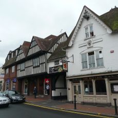
Red Lion Public House
3.3 km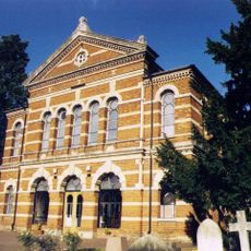
Three Wall And Gate Piers To Wokingham Baptist Church
3.6 km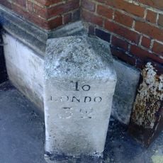
Milestone Adjoining North West Corner Of The Post Office
3.4 km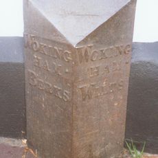
Boundary Marker At South West Corner Of No 6 Wiltshire Road
3.3 km
Montague House And Attached Garden Walls
3.5 km
33, Rose Street
3.3 km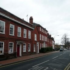
6, Shute End
3.6 km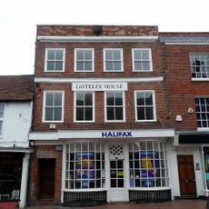
6, Market Place
3.3 km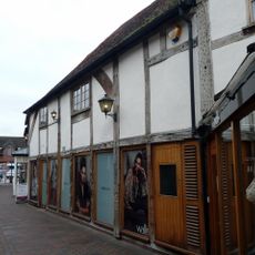
The Old Bull And Bush
3.3 km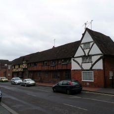
37, Rose Street
3.3 km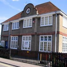
The Annexe At Westcott Infant School
3 km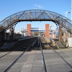
Footbridge Immediately South Of Wokingham Station
3.8 km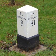
Milepost, London Road; Clay Lane/ Waterloo Lodge, Frog Hall
2.6 kmAvis
Vous avez visité ce lieu ? Touchez les étoiles pour le noter et partager votre expérience ou vos photos avec la communauté ! Essayez maintenant ! Vous pouvez annuler à tout moment.
Trouvez des trésors cachés à chaque coin de rue !
Des petits cafés pittoresques aux points de vue planqués, fuyez la foule et dénichez les lieux qui vous ressemblent vraiment. Notre app vous facilite la vie : recherche vocale, filtres malins, itinéraires optimisés et bons plans partagés par des voyageurs du monde entier. Téléchargez vite pour vivre l'aventure en version mobile !

Une approche inédite de la découverte touristique❞
— Le Figaro
Tous les lieux qui valent la peine d'être explorés❞
— France Info
Une excursion sur mesure en quelques clics❞
— 20 Minutes