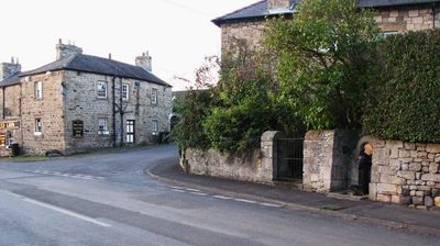
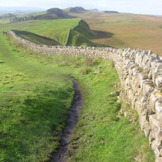
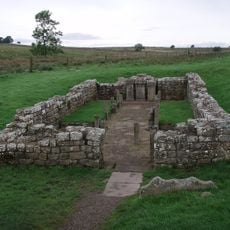
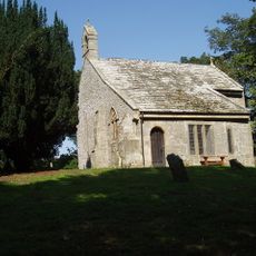
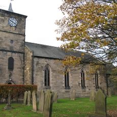
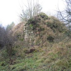
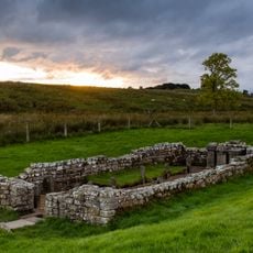
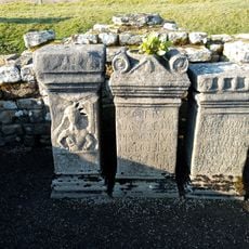
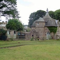
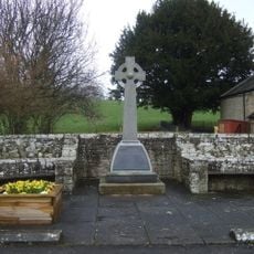
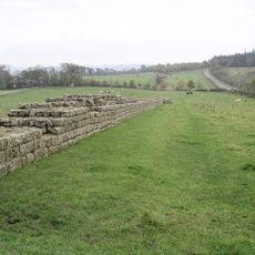
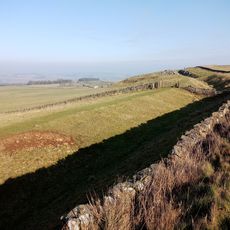
Newbrough, village britannique
Emplacement : Northumberland
Coordonnées GPS : 55.00550,-2.19850
Dernière mise à jour : 3 mars 2025 à 15:56
Mur d'Hadrien
6.3 km
Carrawburgh
3.7 km
Milecastle 29
3.5 km
Newbrough Hall
371 m
Milecastle 30
3.7 km
Milecastle 33
5.2 km
Milecastle 34
6.3 km
Milecastle 32
4.2 km
Milecastle 31
3.8 km
Town Hall
8 m
Church of St Mungo, Simonsburn
5.7 km
Haydon Old Church
4.1 km
Church of St Cuthbert
4.7 km
Haydon Bridge War Memorial
4.7 km
Congregational Chapel
4.6 km
Coventina's Well
3.6 km
Thornton Tower
465 m
Simonburn Castle tower house
5.9 km
Carrawburgh Roman fort and Hadrian's Wall and vallum
3.6 km
Brocolitia Mithraic temple
3.5 km
Power House To North East Of Newbrough Hall
429 m
Newbrough War Memorial
14 m
Brocolitia Roman fort
3.6 km
Langley Barony Mines, Haydon Bridge
4.9 km
Lime Kiln 800 Metres West Of Town Shields Farmhouse
7.2 km
Hadrians Wall, Milecastles and Turrets
6.2 km
Hadrian's Wall and vallum between the road to Simonburn and the field boundary east of Carrawburgh car park in wall miles 29, 30 and 31
3.5 km
Milestone, Rye Hill, Walwick
3.8 kmVous avez visité ce lieu ? Touchez les étoiles pour le noter et partager votre expérience ou vos photos avec la communauté ! Essayez maintenant ! Vous pouvez annuler à tout moment.
Trouvez des trésors cachés à chaque coin de rue !
Des petits cafés pittoresques aux points de vue planqués, fuyez la foule et dénichez les lieux qui vous ressemblent vraiment. Notre app vous facilite la vie : recherche vocale, filtres malins, itinéraires optimisés et bons plans partagés par des voyageurs du monde entier. Téléchargez vite pour vivre l'aventure en version mobile !
Une approche inédite de la découverte touristique❞
— Le Figaro
Tous les lieux qui valent la peine d'être explorés❞
— France Info
Une excursion sur mesure en quelques clics❞
— 20 Minutes