Cranfield, village britannique
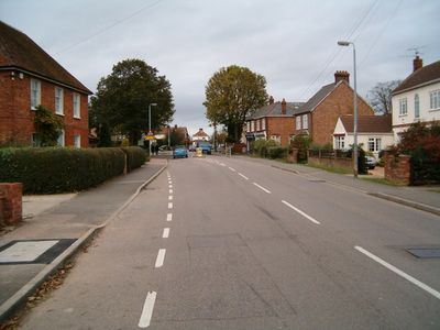
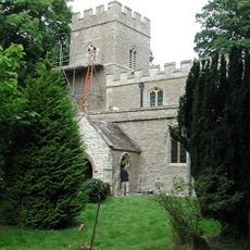
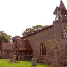
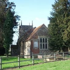
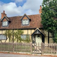
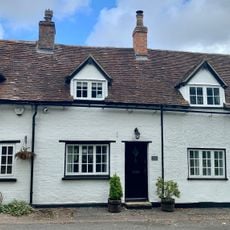
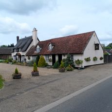
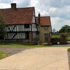
Cranfield est un village du Bedfordshire central avec des bâtiments couvrant différentes périodes, allant de petits cottages anciens à de nouveaux développements résidentiels. L'agglomération s'étend le long de la High Street et montre un mélange d'origines rurales et d'expansion moderne.
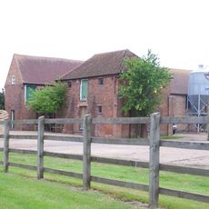
Le village a des racines agricoles et a été transformé par la construction d'un aérodrome avant la Deuxième Guerre mondiale. Cette infrastructure a façonné de manière significative sa croissance et a entraîné des augmentations de population particulièrement visibles dans la deuxième moitié du 20e siècle.
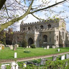
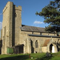
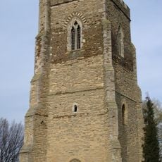
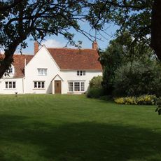
Le centre du village conserve son caractère traditionnel avec des bâtiments reflétant différentes périodes de construction, des maisons ouvrières aux extensions modernes. Les rues montrent comment les résidents ont façonné le lieu au fil des générations et comment il s'est adapté aux besoins changeants.
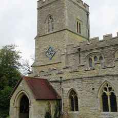
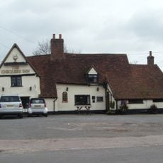
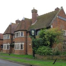
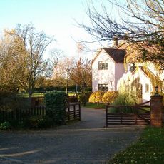
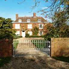
Le village est facile à explorer à pied, avec la High Street comme axe principal et les rues résidentielles qui s'en ramifient. Les visiteurs doivent noter que de nombreux bâtiments historiques sont des propriétés privées et ne peuvent être vus que de l'extérieur, donc une promenade lente pour observer les différents styles de construction est recommandée.
Le Memorial Hall de 1911 a été rénové de manière importante plusieurs fois et continue à servir de point de rencontre communautaire, montrant comment le village préserve et adapte ses bâtiments pour les temps modernes. Le fait que Jessamine Cottages ait rouvert des fenêtres murées pour restaurer son apparence historique illustre cette philosophie.
La communauté des voyageurs curieux
AroundUs rassemble des milliers de lieux sélectionnés, conseils locaux et pépites cachées, enrichis chaque jour par plus de 60,000 contributeurs à travers le monde.