
Cople, village britannique
Emplacement : Bedford
Coordonnées GPS : 52.12200,-0.38900
Dernière mise à jour : 16 mars 2025 à 05:07

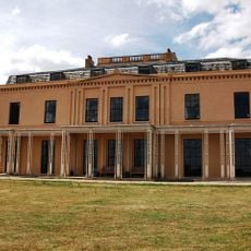
Moggerhanger House
3.2 km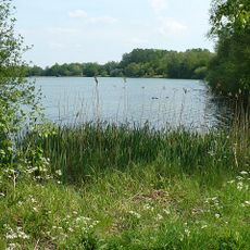
Priory Country Park
3.3 km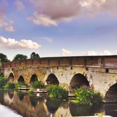
Great Barford Bridge
4.5 km
Eastcotts Castle
4.1 km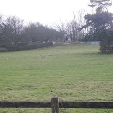
Risinghoe Castle
2.9 km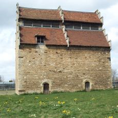
Willington Dovecote and Stables
1.6 km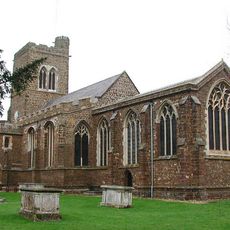
Church of St Mary the Virgin, Northill
4.8 km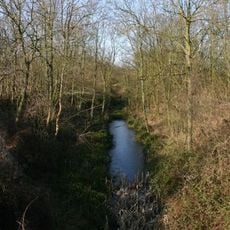
Old Warden Tunnel nature reserve
3.8 km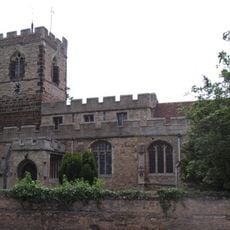
Church of All Saints, Cople
178 m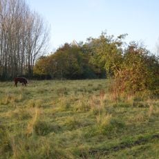
Fenlake Meadows
3.8 km
Cople Pits
915 m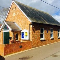
Renhold Chapel
4.2 km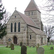
Parish Church of St John the Evangelist
4 km
Church of St Mary the Virgin
3.9 km
Parish Church of St Mary the Virgin, Cardington
1.8 km
Parish Church of St Lawrence
1.6 km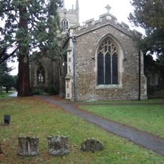
Church of All Saints, Great Barford
4.5 km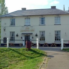
The Anchor Public House
4.5 km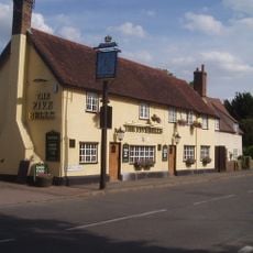
The Five Bells Public House
147 m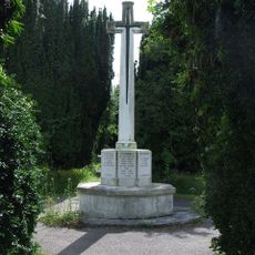
Cardington War Memorial
1.9 km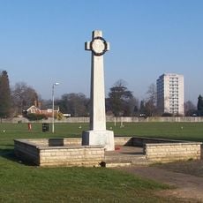
Goldington War Memorial
3.6 km
Well Cottage
4.8 km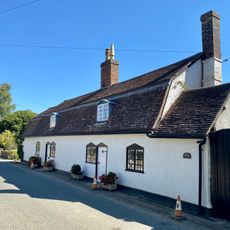
Manor Cottage
4.8 km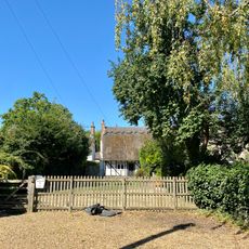
1, 3, 5 And 7, Thorncote Road
4.8 km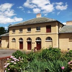
Former principal stable block of Moggerhanger House
3.1 km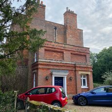
The Old Rectory
4.8 km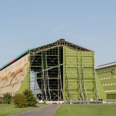
Cardington Number 1 Shed At Raf Cardington
2.7 km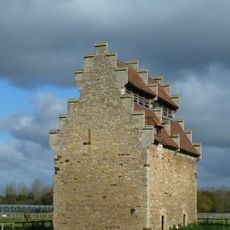
Dovecote Of Former Manor House
1.7 kmAvis
Vous avez visité ce lieu ? Touchez les étoiles pour le noter et partager votre expérience ou vos photos avec la communauté ! Essayez maintenant ! Vous pouvez annuler à tout moment.
Trouvez des trésors cachés à chaque coin de rue !
Des petits cafés pittoresques aux points de vue planqués, fuyez la foule et dénichez les lieux qui vous ressemblent vraiment. Notre app vous facilite la vie : recherche vocale, filtres malins, itinéraires optimisés et bons plans partagés par des voyageurs du monde entier. Téléchargez vite pour vivre l'aventure en version mobile !

Une approche inédite de la découverte touristique❞
— Le Figaro
Tous les lieux qui valent la peine d'être explorés❞
— France Info
Une excursion sur mesure en quelques clics❞
— 20 Minutes