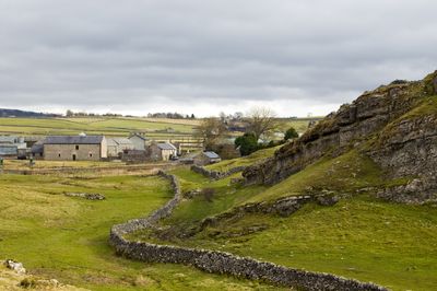
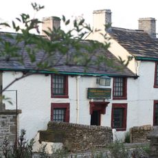
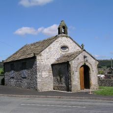
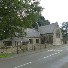
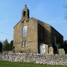
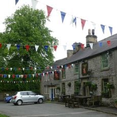
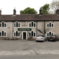
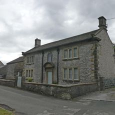
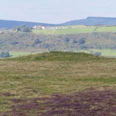
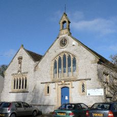
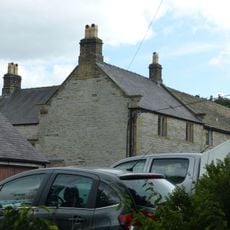
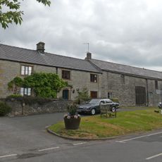
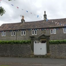
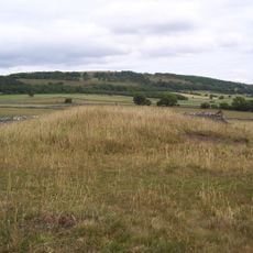
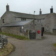
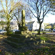
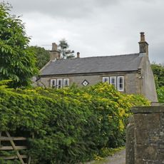
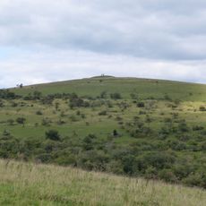
Wardlow, localité britannique du comté anglais de Derbyshire
Emplacement : Derbyshire Dales
Partage une frontière avec : Great Hucklow, Foolow, Litton, Great Longstone
Coordonnées GPS : 53.26800,-1.72700
Dernière mise à jour : 31 mars 2025 à 21:02
Monsal Trail
2.6 km
The Three Stags' Heads
1 km
St Hugh’s Church, Foolow
2.4 km
Church of Good Shepherd And Attached School
223 m
Unitarian Chapel
3.2 km
Red Lion Inn
2 km
Cressbrook Mill
2.1 km
Arbourseats Veins and Sough, Wardlow Sough, Nay Green Mine and Washing Floors, Hading Vein and Seedlow Rake
1 km
The George Hotel And Outbuildings To East
3.2 km
Hammerton Hall Farmhouse
2 km
Bowl barrow on Longstone Moor
1.2 km
Litton School
2 km
Bowl barrow on Longstone Moor
1.4 km
Cackle Mackle and Stadford Hollow lead mines on Longstone Moor
1.1 km
Kirk Lees
2.4 km
Village Cross
2.3 km
Hall Farmhouse And Attached Barn
190 m
Scarsdale House Farmhouse and attached barn
1.9 km
Clergy House and attached gatepiers and garden wall
2 km
White Cliff bowl barrow
2.4 km
Stanley House and attached stableblock
1.6 km
Village Cross
2 km
Rolley Low bowl barrow
977 m
Grove House and attached garden walls and railings
2 km
Wardlow Hay Cop bowl barrow
763 m
K6 Telephone Kiosk
2.4 km
Milestone, Rolley Low
1 km
Milestone, Housley
1.9 kmVous avez visité ce lieu ? Touchez les étoiles pour le noter et partager votre expérience ou vos photos avec la communauté ! Essayez maintenant ! Vous pouvez annuler à tout moment.
Trouvez des trésors cachés à chaque coin de rue !
Des petits cafés pittoresques aux points de vue planqués, fuyez la foule et dénichez les lieux qui vous ressemblent vraiment. Notre app vous facilite la vie : recherche vocale, filtres malins, itinéraires optimisés et bons plans partagés par des voyageurs du monde entier. Téléchargez vite pour vivre l'aventure en version mobile !
Une approche inédite de la découverte touristique❞
— Le Figaro
Tous les lieux qui valent la peine d'être explorés❞
— France Info
Une excursion sur mesure en quelques clics❞
— 20 Minutes