
Slinfold, village britannique
Emplacement : Horsham
Site web : http://www.slinfold-pc.gov.uk/
Site web : http://slinfold-pc.gov.uk
Coordonnées GPS : 51.07000,-0.40500
Dernière mise à jour : 6 mars 2025 à 13:25
Stane Street
5 km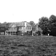
Field Place
3 km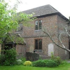
Horsham Unitarian Church
5.1 km
Holy Trinity Church, Rudgwick
4.1 km
The Fox Inn
4.4 km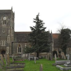
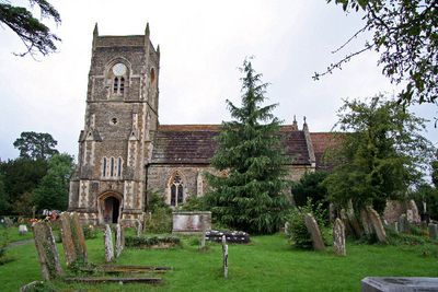
The Parish Church of St Peter
308 m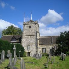
The Parish Church of St Margaret, Warnham
4.7 km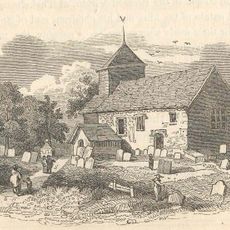
The Parish Church of St Nicolas
2.7 km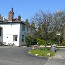
The Sussex Oak Inn
4.7 km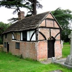
Priest's House
2.7 km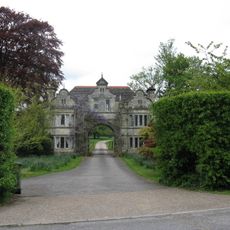
South East Lodges Of Warnham Court School
4.8 km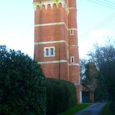
Water Tower At The Former Warnham Lodge
4.4 km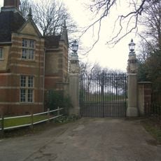
East Lodge and gateway, Christ's Hospital School
4.5 km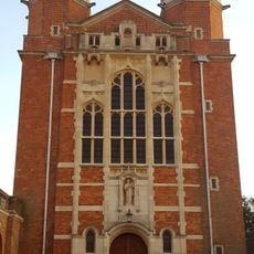
Dining Hall And Water Tower To North, School To South, Collannaded Wings To East And West Forming A Quadra
4.2 km
Guildings
3.7 km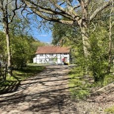
Burnt House
2.7 km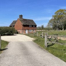
Lawson's Farmhouse
4.9 km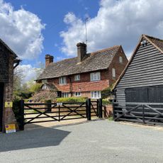
Monks Farmhouse
4.8 km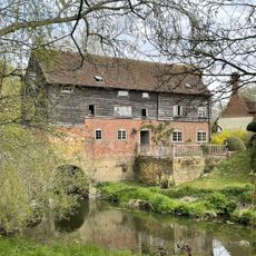
Gibbon's Mill
4.7 km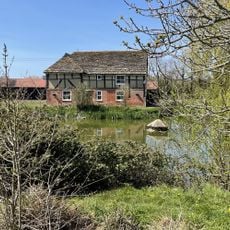
Little Stammerham Farmhouse
4.5 km
Hermongers Farmhouse
3.6 km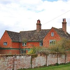
Garlands
3.6 km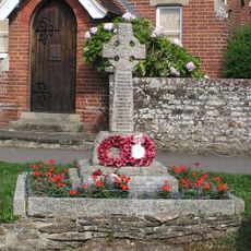
Slinfold War Memorial
257 m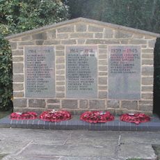
Broadbridge Heath War Memorial
3.1 km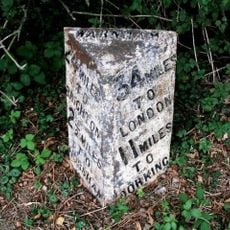
Milepost, Andrews Farm
4.7 km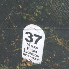
Milestone, Worthing Road, just S of railway bridge
4.9 km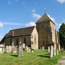
Rudgwick churchyard
4.1 km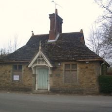
Old Lodge To North East Of Chirst's Hospital
4.5 kmAvis
Vous avez visité ce lieu ? Touchez les étoiles pour le noter et partager votre expérience ou vos photos avec la communauté ! Essayez maintenant ! Vous pouvez annuler à tout moment.
Trouvez des trésors cachés à chaque coin de rue !
Des petits cafés pittoresques aux points de vue planqués, fuyez la foule et dénichez les lieux qui vous ressemblent vraiment. Notre app vous facilite la vie : recherche vocale, filtres malins, itinéraires optimisés et bons plans partagés par des voyageurs du monde entier. Téléchargez vite pour vivre l'aventure en version mobile !

Une approche inédite de la découverte touristique❞
— Le Figaro
Tous les lieux qui valent la peine d'être explorés❞
— France Info
Une excursion sur mesure en quelques clics❞
— 20 Minutes