
Klepalovo, village en Russie
Emplacement : Багарякское сельское поселение
Altitude : 178 m
Coordonnées GPS : 56.14639,61.60056
Dernière mise à jour : 24 mai 2025 à 15:17

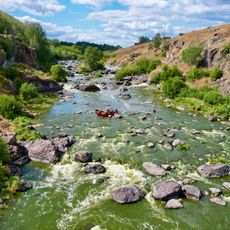
Revun Rapid on Iset River
32 km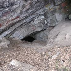
Smolinskaya Cave
31.5 km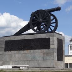
Kamensk-Uralsky Cannon
35.1 km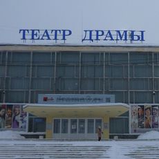
Drama Number Three
34.9 km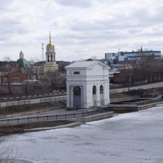
Dam on the Kamenka river
35.3 km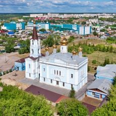
Church of the Intercession of the Most Holy Mother of God, Kamensk-Uralsky
34.6 km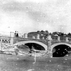
Bridge over Kamenka river
35.2 km
Ural Aluminum Smelter Proletarian's Group of Houses
34.9 km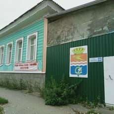
Merchant Kosyakov’s manor house
35.2 km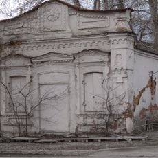
Molchanov Merchants’ Shop
35.2 km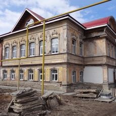
House-Estate of the merchant Vorobyov
35.1 km
Church Of The Holy Trinity (Troitskoe)
28.8 km
Church of Saint Nicholas
34.3 km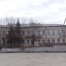
Estate of the Caretaker of the Kamensk Plant
35.1 km
Tronin’s House
35.1 km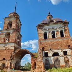
Church of the Holy Prophet Elijah, Smolinskoye
31.1 km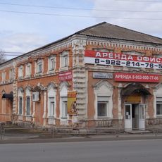
Gerasimov Merchant’s Shop
35.2 km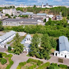
Bureau Kamensky plant
35.3 km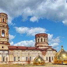
St. Michael the Archangel's Church
34.7 km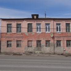
Orphanage building, Kamensk-Uralsky
35.1 km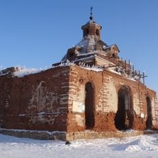
Church of Our Lady of Tikhvin
22.7 km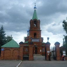
Church of Intercession of the Theotokos
33.7 km
Gostiny Dvor, Kamensk-Uralsky
35.2 km
The Building of Men’s College, Kamensk-Uralsky
35.1 km
The hospital building of Kamensk plant
34.8 km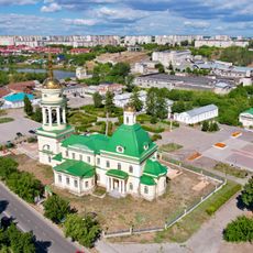
Holy Trinity Church
35.2 km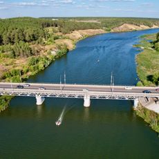
Байновский мост
34.9 km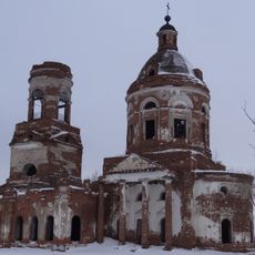
Церковь Богоявления (Зырянка)
34.2 kmVous avez visité ce lieu ? Touchez les étoiles pour le noter et partager votre expérience ou vos photos avec la communauté ! Essayez maintenant ! Vous pouvez annuler à tout moment.
Trouvez des trésors cachés à chaque coin de rue !
Des petits cafés pittoresques aux points de vue planqués, fuyez la foule et dénichez les lieux qui vous ressemblent vraiment. Notre app vous facilite la vie : recherche vocale, filtres malins, itinéraires optimisés et bons plans partagés par des voyageurs du monde entier. Téléchargez vite pour vivre l'aventure en version mobile !

Une approche inédite de la découverte touristique❞
— Le Figaro
Tous les lieux qui valent la peine d'être explorés❞
— France Info
Une excursion sur mesure en quelques clics❞
— 20 Minutes