
Cmentarz ewangelicki, na płd.-zach. od wsi, Friedhof in Polen
Emplacement : Żabojady
Coordonnées GPS : 54.30794,22.60083
Dernière mise à jour : 25 septembre 2025 à 08:51
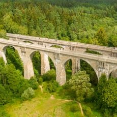
Viaducts in Stańczyki
3.7 km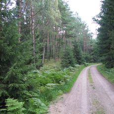
Romincka Forest
8.8 km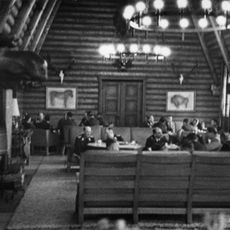
Reichsjägerhof Rominten
9.6 km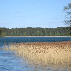
Pojezierze Suwalskie
14.8 km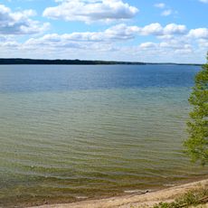
Lac Vištytis
16.4 km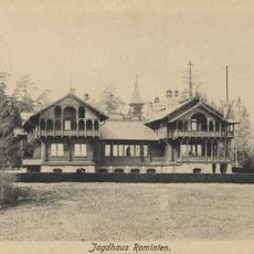
Rominten Hunting Lodge
7.3 km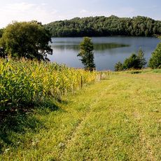
Rezerwat przyrody Jezioro Hańcza
14.8 km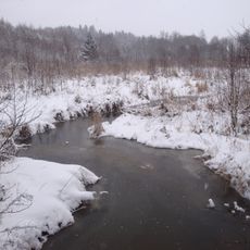
Krasnaya River
4.7 km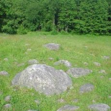
Głazowisko Bachanowo
14.8 km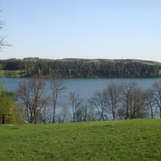
Rospuda Filipowska
9.6 km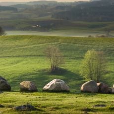
Nature reserve Głazowisko Łopuchowskie
15.8 km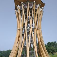
Observation tower in Stańczyki
3.4 km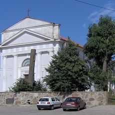
Church of the Assumption in Filipów
14.3 km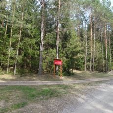
Nature reserve Struga Żytkiejmska
5.3 km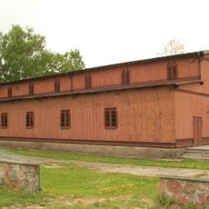
Kościół Trójcy Przenajświętszej w Pawłówce
15.6 km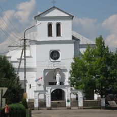
Church of the Nativity of Virgin Mary in Przerośl
7.1 km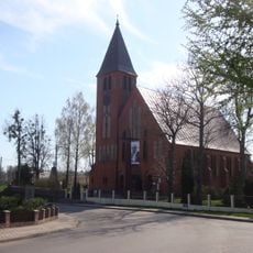
Saint Andrew Bobola church in Dubeninki
3.7 km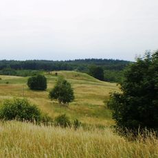
Pavištytis 2nd hillfort
16 km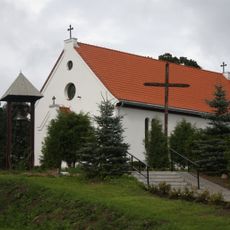
Saint Michael Archangel church in Żytkiejmy
8.1 km
Evangelical cemetery in Stańczyki
3.7 km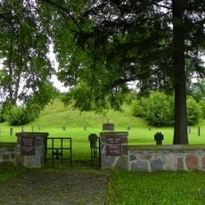
World War I Cemetery in Żytkiejmy
8.5 km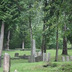
Evangelical cemetery in Dubeninki
2.9 km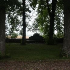
World War I Cemetery in Dubeninki
4 km
Park dworski
14.2 km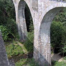
Wiadukt kolejowy I na rz. Błędziance
3.7 km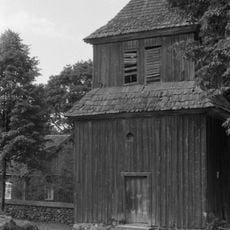
Dzwonnica (przy kościele ) w Przeroślu
7.1 km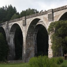
Wiadukt kolejowy II na rz. Błędziance
3.7 km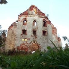
Ruiny kościoła ewangelickiego w Górnem
12 kmAvis
Vous avez visité ce lieu ? Touchez les étoiles pour le noter et partager votre expérience ou vos photos avec la communauté ! Essayez maintenant ! Vous pouvez annuler à tout moment.
Trouvez des trésors cachés à chaque coin de rue !
Des petits cafés pittoresques aux points de vue planqués, fuyez la foule et dénichez les lieux qui vous ressemblent vraiment. Notre app vous facilite la vie : recherche vocale, filtres malins, itinéraires optimisés et bons plans partagés par des voyageurs du monde entier. Téléchargez vite pour vivre l'aventure en version mobile !

Une approche inédite de la découverte touristique❞
— Le Figaro
Tous les lieux qui valent la peine d'être explorés❞
— France Info
Une excursion sur mesure en quelques clics❞
— 20 Minutes