
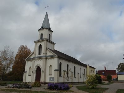
Evangelical Lutheran Church in Šakiai, church building in Šakiai District Municipality, Lithuania
Emplacement : Šakiai District Municipality
Coordonnées GPS : 54.95427,23.02766
Dernière mise à jour : 25 septembre 2025 à 08:40
Château de Raudonė
17.2 km
Château de Panemunė
16.4 km
Gelgaudiškis Manor
14.2 km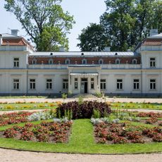
Zypliai Manor
10.7 km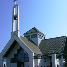
Keturnaujiena chapel
13.8 km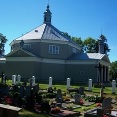
Church of the transfiguration of Jesus Christ in Griškabūdis
14.8 km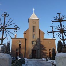
Church of St. John the Baptist, Šakiai
1.1 km
Bisenė
16.5 km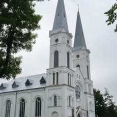
Church of the Assumption, Sintautai
8.5 km
Gelgaudų ąžuolas
16.3 km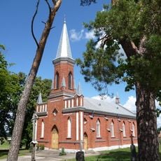
Church of the Exaltation of the Holy Cross, Gelgaudiškis
14.6 km
Maštaičiai hillfort
15.7 km
Gediminaičio ąžuolas
17.1 km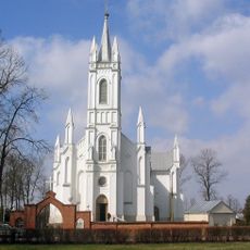
Church of St. Joseph, Lukšiai
9 km
Raudonės liepa
17.2 km
Plokščiai hillfort
16.8 km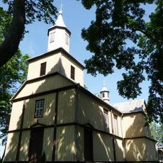
Church of the Holy Name of the Virgin Mary, Plokščiai
17 km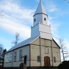
Evangelical Lutheran Church in Skirsnemunė
16.7 km
Zamkaus dvaras
16.5 km
Raudonės juodoji tuopa
17 km
Rathaus Šakiai
1 km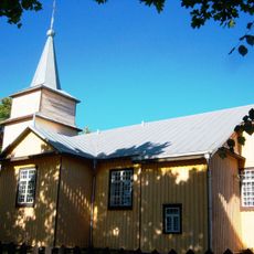
Church of the Holy Guardian Angels, Paluobiai
16.9 km
Zypliai oak
11 km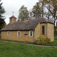
Church of Saint Mary of the Angels, Valakbūdis
9.2 km
Salesian chapel, Vytėnai
16.5 km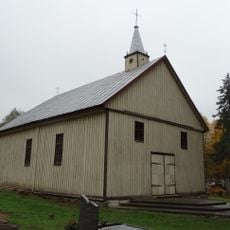
Chapel in Plieniškiai
5 km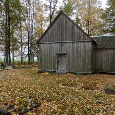
Šilgaliai chapel
11.2 km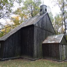
Staliorių koplyčia
16.4 kmAvis
Vous avez visité ce lieu ? Touchez les étoiles pour le noter et partager votre expérience ou vos photos avec la communauté ! Essayez maintenant ! Vous pouvez annuler à tout moment.
Trouvez des trésors cachés à chaque coin de rue !
Des petits cafés pittoresques aux points de vue planqués, fuyez la foule et dénichez les lieux qui vous ressemblent vraiment. Notre app vous facilite la vie : recherche vocale, filtres malins, itinéraires optimisés et bons plans partagés par des voyageurs du monde entier. Téléchargez vite pour vivre l'aventure en version mobile !

Une approche inédite de la découverte touristique❞
— Le Figaro
Tous les lieux qui valent la peine d'être explorés❞
— France Info
Une excursion sur mesure en quelques clics❞
— 20 Minutes