
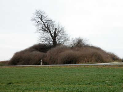
Weitester Hügel, hill in Germany
Emplacement : Thuringia
Altitude : 205 m
Coordonnées GPS : 51.11456,11.38584
Dernière mise à jour : 15 mars 2025 à 12:52
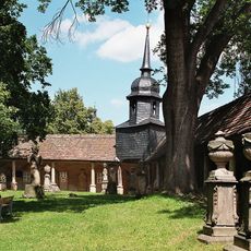
Camposanto Buttstädt
2.4 km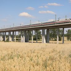
Gänsebachtalbrücke
2.3 km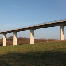
Scherkondetalbrücke
5.5 km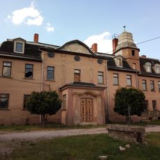
Schloss Rohrbach
5.3 km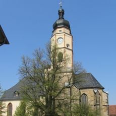
Stadtkirche Buttstädt
2.2 km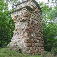
Burgruine Teutleben
4.9 km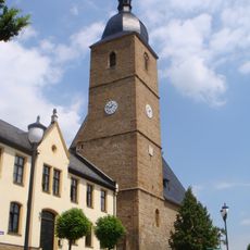
St. Nikolaus und Stephanus
5.1 km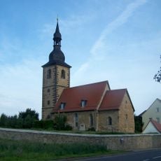
Dorfkirche Oberreißen
3.8 km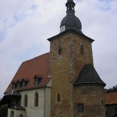
Kirche Teutleben
5.1 km
Protestant Church (Nermsdorf)
3.6 km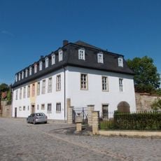
Schloss Hardisleben
5.2 km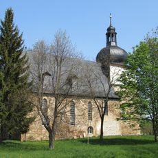
St. Trinitatis (Guthmannshausen)
2.5 km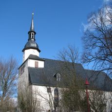
St. Johannes Baptista (Hardisleben)
5.1 km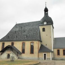
Protestant Church (Großbrembach)
4.5 km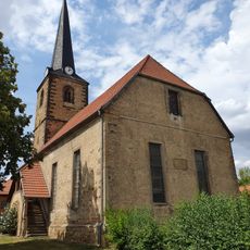
Protestant Church Rudersdorf
5 km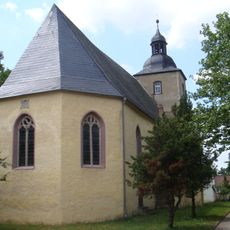
St. Vigberti (Olbersleben)
4.9 km
Protestant Church Niederreißen
2.5 km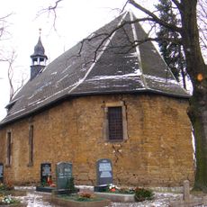
Protestant Church (Weiden)
5 km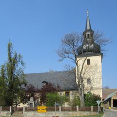
Protestant Church Mannstedt
2.7 km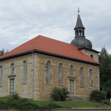
Protestant Church Nirmsorf
6.2 km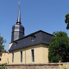
Protestant Church (Rohrbach)
5.4 km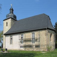
Protestant Church (Ellersleben)
5.8 km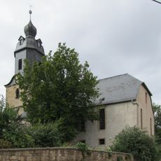
St. Alban (Willerstedt)
5.4 km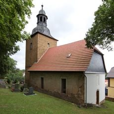
Church in Haindorf (Krautheim)
5.3 km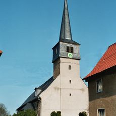
St. Mauritius (Krautheim)
6.1 km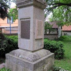
War memorial Nermsdorf
3.5 km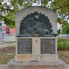
War memorial Buttstädt
2.5 km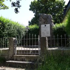
War memorial in Rohrbach (Landkreis Weimarer Land)
5.3 kmAvis
Vous avez visité ce lieu ? Touchez les étoiles pour le noter et partager votre expérience ou vos photos avec la communauté ! Essayez maintenant ! Vous pouvez annuler à tout moment.
Trouvez des trésors cachés à chaque coin de rue !
Des petits cafés pittoresques aux points de vue planqués, fuyez la foule et dénichez les lieux qui vous ressemblent vraiment. Notre app vous facilite la vie : recherche vocale, filtres malins, itinéraires optimisés et bons plans partagés par des voyageurs du monde entier. Téléchargez vite pour vivre l'aventure en version mobile !

Une approche inédite de la découverte touristique❞
— Le Figaro
Tous les lieux qui valent la peine d'être explorés❞
— France Info
Une excursion sur mesure en quelques clics❞
— 20 Minutes