
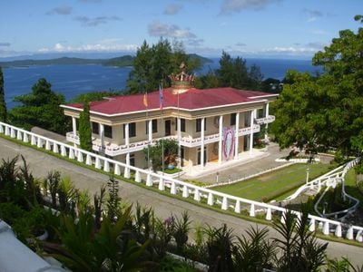
San Jose, municipalité de la province des îles Dinagat, aux Philippines
Emplacement : Dinagat Islands
Création : 15 novembre 1989
Altitude : 24 m
Partage une frontière avec : Dinagat
Site web : http://sanjosedi.gov.ph
Coordonnées GPS : 10.00833,125.58889
Dernière mise à jour : 6 avril 2025 à 16:00
Cabalían
50.4 km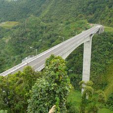
Agas-Agas Bridge
84.6 km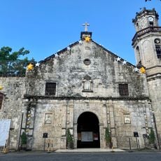
Maasin Cathedral
83.5 km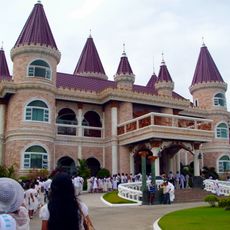
Islander's Castle
42.7 km
Surigao Cathedral
26.5 km
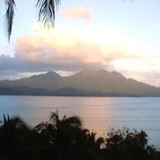
Siargao Islands Protected Landscape and Seascape
53.3 km
Magpupungko Beach
59.9 km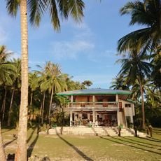
Pacifico Beach
56.9 km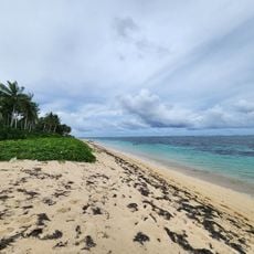
Alegria beach
53.1 km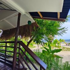
Patrick's on the Beach
67.4 km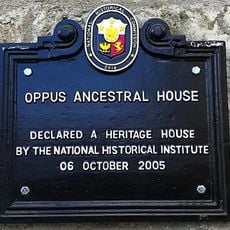
Oppus Ancestral House historical marker
83 km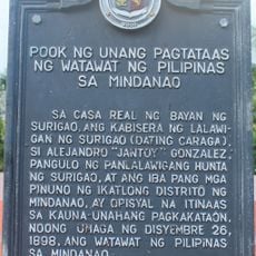
Site of the First Raising of the Philippine Flag in Mindanao historical marker
26.4 km
Tambaan Farm
99.8 km
Kasili
53.2 km
Church of Hilongos historical marker
100.7 km
JB Nature Farm and Resort
38.3 km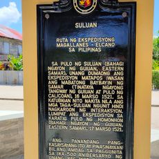
Suluan quincentennial historical marker
92.7 km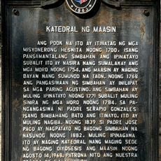
Cathedral of Maasin historical marker
83.4 km
Inland Resort
93.6 km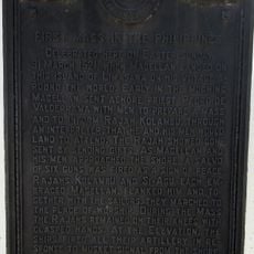
First Mass in the Philippines historical marker
62.7 km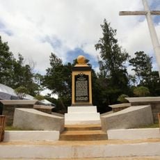
Homonhon quincentennial historical marker
79.2 km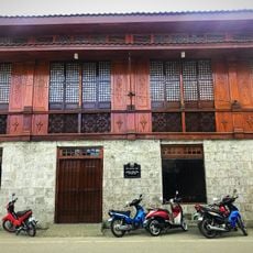
Oppus House
83 km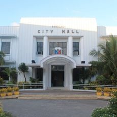
Surigao City Hall
26.3 km
Linao Springs
43 km
Syshore
79 km
Sampaguita Beach
51 km
Handig Beach
91.4 km
Malinao Beach
65 kmVous avez visité ce lieu ? Touchez les étoiles pour le noter et partager votre expérience ou vos photos avec la communauté ! Essayez maintenant ! Vous pouvez annuler à tout moment.
Trouvez des trésors cachés à chaque coin de rue !
Des petits cafés pittoresques aux points de vue planqués, fuyez la foule et dénichez les lieux qui vous ressemblent vraiment. Notre app vous facilite la vie : recherche vocale, filtres malins, itinéraires optimisés et bons plans partagés par des voyageurs du monde entier. Téléchargez vite pour vivre l'aventure en version mobile !

Une approche inédite de la découverte touristique❞
— Le Figaro
Tous les lieux qui valent la peine d'être explorés❞
— France Info
Une excursion sur mesure en quelques clics❞
— 20 Minutes