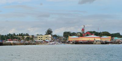
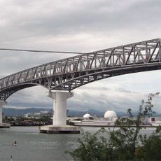
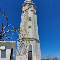
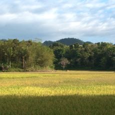
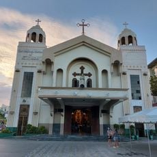
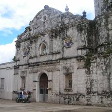
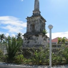
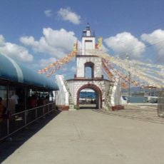
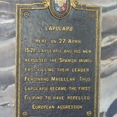
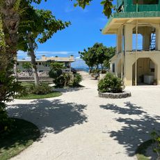
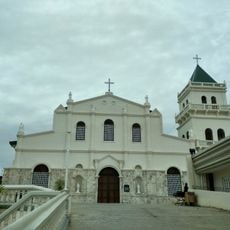
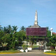
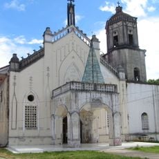
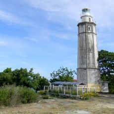
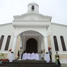
Talibon, commune des Philippines
La communauté des voyageurs curieux
AroundUs rassemble des milliers de lieux sélectionnés, conseils locaux et pépites cachées, enrichis chaque jour par plus de 60,000 contributeurs à travers le monde.
Emplacement
Création
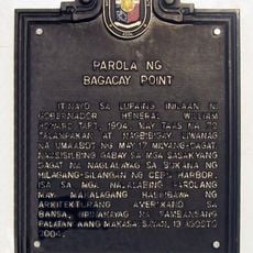
1830
Altitude
7 m
Partage une frontière avec
Getafe, Bien Unido, Danao, Buenavista, Trinidad
Site web
Coordonnées GPS
10.11667,124.28333
Dernière mise à jour
21 mars 2025 à 18:07