
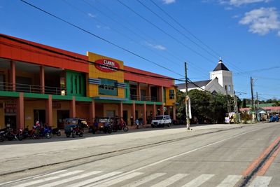
Clarin, municipalité de la province de Bohol, aux Philippines
Emplacement : Bohol
Création : 31 janvier 1919
Altitude : 61 m
Partage une frontière avec : Inabanga, Catigbian
Coordonnées GPS : 9.96667,124.01667
Dernière mise à jour : 21 mars 2025 à 18:05
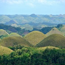
Chocolate Hills
17.4 km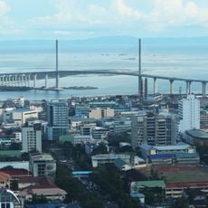
Pont Cebu-Cordova
37.2 km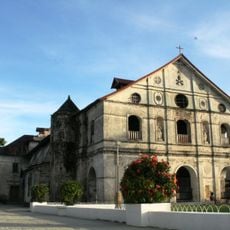
Loboc Church
36.8 km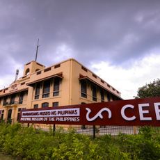
Malacañang sa Sugbo
38.2 km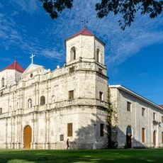
Loon Church
30.8 km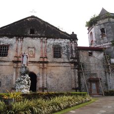
Santa Cruz Parish Church
31.2 km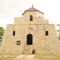
Punta Cruz Watchtower
35.8 km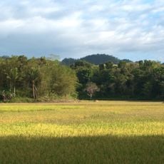
Rajah Sikatuna Protected Landscape
34 km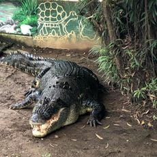
Crocolandia Foundation
37.1 km
Nalusuan Island
25 km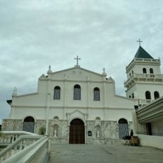
Tubigon Church
6.2 km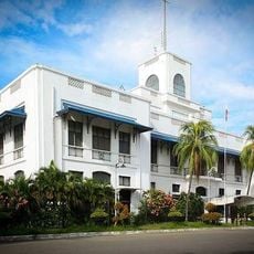
National Musuem of the Philippines - Cebu
38.2 km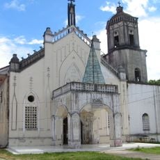
Inabanga Church
8.9 km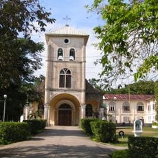
Balilihan Church
23.8 km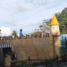
Sagbayan Peak Park
7.7 km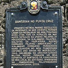
Punta Cruz Watchtower historical marker
35.8 km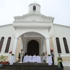
Carmen Church
25.5 km
Sikatuna’s Mirror of the World and Botanical Garden
33.3 km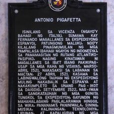
Antonio Pigafetta historical marker
38.2 km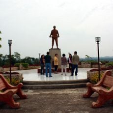
Dagohoy Monument
18.4 km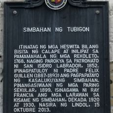
Church of Tubigon historical marker
6.2 km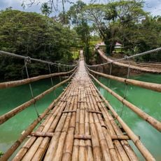
Sevilla Twin Hanging Bridge
32.6 km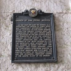
Church of San Pedro Apostol historical marker
36.8 km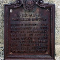
In Memory of Francisco Dagohoy historical marker
18.4 km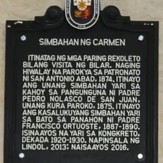
Church of Carmen historical marker
25.5 km
Balilihan Belfry
23.9 km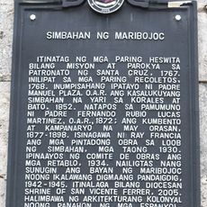
Church of Maribojoc historical marker
31.5 km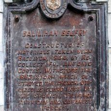
Balilihan Belfry historical marker
23.9 kmAvis
Vous avez visité ce lieu ? Touchez les étoiles pour le noter et partager votre expérience ou vos photos avec la communauté ! Essayez maintenant ! Vous pouvez annuler à tout moment.
Trouvez des trésors cachés à chaque coin de rue !
Des petits cafés pittoresques aux points de vue planqués, fuyez la foule et dénichez les lieux qui vous ressemblent vraiment. Notre app vous facilite la vie : recherche vocale, filtres malins, itinéraires optimisés et bons plans partagés par des voyageurs du monde entier. Téléchargez vite pour vivre l'aventure en version mobile !

Une approche inédite de la découverte touristique❞
— Le Figaro
Tous les lieux qui valent la peine d'être explorés❞
— France Info
Une excursion sur mesure en quelques clics❞
— 20 Minutes