
Huntington Township, établissement humain, comté d'Huntington, Indiana, États-Unis
Emplacement : Huntington County
Altitude : 217 m
Coordonnées GPS : 40.87278,-85.51278
Dernière mise à jour : 25 mars 2025 à 07:17
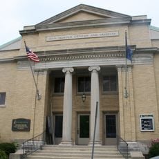
United States Vice Presidential Museum
2 km
Salamonie River State Forest
17 km
J. Edward Roush Lake
4.8 km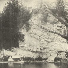
Hanging Rock and Wabash Reef National Natural Landmark
17 km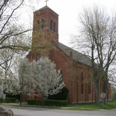
St. Patrick's Roman Catholic Church
18.7 km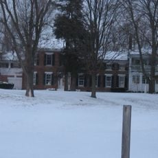
Vermilyea Inn Historic District
22.6 km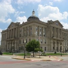
Huntington Courthouse Square Historic District
1.8 km
North Manchester Covered Bridge
25.3 km
William Street School
1.6 km
Taylor-Zent House
1.8 km
David Alonzo and Elizabeth Purviance House
1.9 km
Lentz House
25.8 km
Hominy Ridge Shelter House
16 km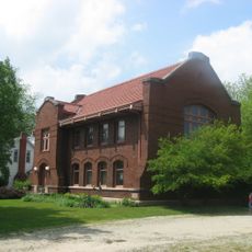
Old North Manchester Public Library
26 km
J.E. Roush Fish and Wildlife Area
14.3 km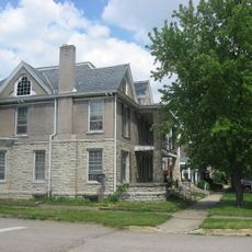
East Wabash Historic District
27 km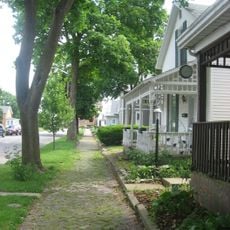
Drover Town Historic District
1.7 km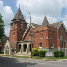
St. Peter's First Community Church
1.7 km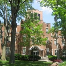
Manchester College Historic District
26 km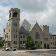
Old Plat Historic District
2.1 km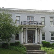
Samuel Purviance House
1.8 km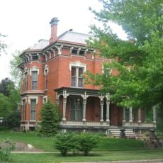
Noftzger-Adams House
25.9 km
Rangeline Road Bridge
2.6 km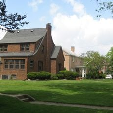
Hawley Heights Historic District
2 km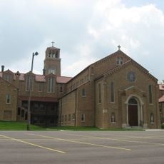
Victory Noll-St. Felix Friary Historic District
1.6 km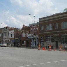
North Manchester Historic District
25.9 km
Young-Yentes-Mattern Farm
9.6 km
Thomas R. Marshall School
25.7 kmAvis
Vous avez visité ce lieu ? Touchez les étoiles pour le noter et partager votre expérience ou vos photos avec la communauté ! Essayez maintenant ! Vous pouvez annuler à tout moment.
Trouvez des trésors cachés à chaque coin de rue !
Des petits cafés pittoresques aux points de vue planqués, fuyez la foule et dénichez les lieux qui vous ressemblent vraiment. Notre app vous facilite la vie : recherche vocale, filtres malins, itinéraires optimisés et bons plans partagés par des voyageurs du monde entier. Téléchargez vite pour vivre l'aventure en version mobile !

Une approche inédite de la découverte touristique❞
— Le Figaro
Tous les lieux qui valent la peine d'être explorés❞
— France Info
Une excursion sur mesure en quelques clics❞
— 20 Minutes