
California, ville du Missouri
Emplacement : Moniteau County
Création : 1848
Altitude : 272 m
Site web : http://cityofcalifornia.net
Coordonnées GPS : 38.63000,-92.56830
Dernière mise à jour : 9 mars 2025 à 00:40
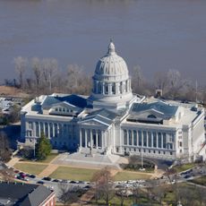
Capitole de l’État du Missouri
34.9 km
Rock Bridge Memorial State Park
34.6 km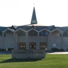
Cathedral of Saint Joseph
31.4 km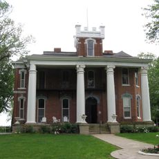
Ravenswood
31.7 km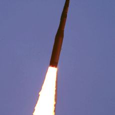
508th Missile Squadron
19.2 km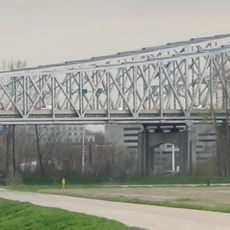
Jefferson City Bridge
34.2 km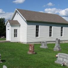
Bond's Chapel Methodist Episcopal Church
26.2 km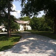
William B. Hunt House
33.2 km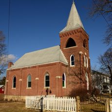
Zion Lutheran Church
29.4 km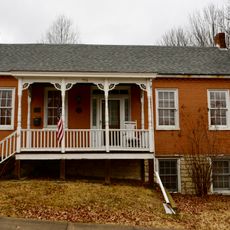
Philip Hess House
34.4 km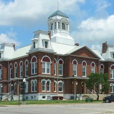
Morgan County Courthouse
33.2 km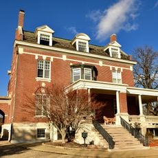
Villa Panorama
33.4 km
William E. and Frederica M. Zuendt House
34.4 km
Finke Opera House
644 m
Henry and Elizabeth Bockrath House
34.3 km
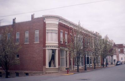
Gray-Wood Buildings
875 m
Tergin Apartment Building
34.7 km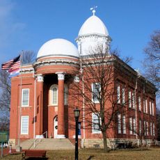
Moniteau County Courthouse Square
776 m
Herman Haar House
34.3 km
Oscar G. and Mary H. Burch House
34.4 km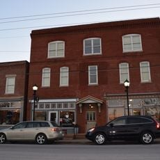
Munichburg Commercial Historic District
34.9 km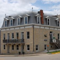
Dr. Joseph P. and Effie Porth House
34.3 km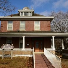
Broadway-Dunklin Historic District
34.4 km
Albert and Wilhelmina Thomas House
34.5 km
Nelson C. and Gertrude A. Burch House
34.4 km
Joseph and Elizabeth Wallendorf House
27.5 km
John M. and Lillian Sommerer House
32 km
Charles J. and Clara B. Schmidt House
34.3 kmAvis
Vous avez visité ce lieu ? Touchez les étoiles pour le noter et partager votre expérience ou vos photos avec la communauté ! Essayez maintenant ! Vous pouvez annuler à tout moment.
Trouvez des trésors cachés à chaque coin de rue !
Des petits cafés pittoresques aux points de vue planqués, fuyez la foule et dénichez les lieux qui vous ressemblent vraiment. Notre app vous facilite la vie : recherche vocale, filtres malins, itinéraires optimisés et bons plans partagés par des voyageurs du monde entier. Téléchargez vite pour vivre l'aventure en version mobile !

Une approche inédite de la découverte touristique❞
— Le Figaro
Tous les lieux qui valent la peine d'être explorés❞
— France Info
Une excursion sur mesure en quelques clics❞
— 20 Minutes