
Milson, village britannique
Emplacement : Shropshire
Coordonnées GPS : 52.35100,-2.52900
Dernière mise à jour : 8 mars 2025 à 01:31
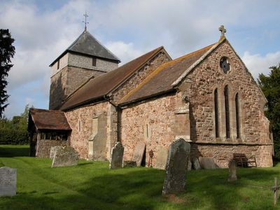
Church of St George
173 m
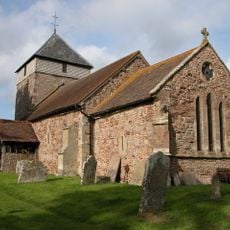
Church of St Peter
3 km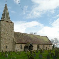
Church of St John the Baptist
3.8 km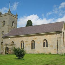
Church of St Michael
3.9 km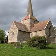
Church of All Saints
2 km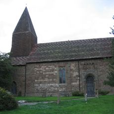
Church of St Michael
2.9 km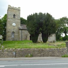
Church of St John
4.3 km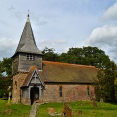
Parish Church
3.8 km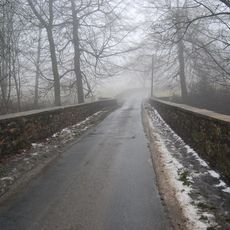
Hopton Court Bridge
4 km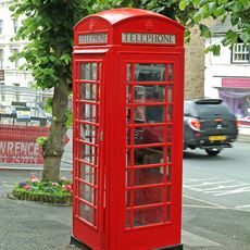
K6 Telephone Kiosk 8 Metres South Of Numbers 30 And 31
4.4 km
The Manor
3.8 km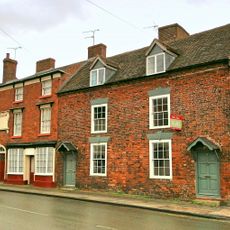
11 And 12, High Street
4.3 km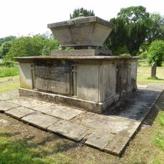
Tomb Of Thomas Botfield And Railings 35 Metres South Of Church Of St Michael
3.8 km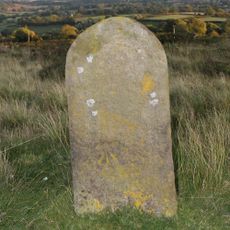
Milestone At Ngr So 6123 7598
4.3 km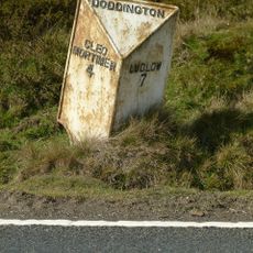
Milepost At Ngr So 6123 7598
4.4 km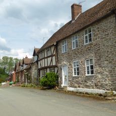
The Village (House Occupied By Mrs B Morris)
3.8 km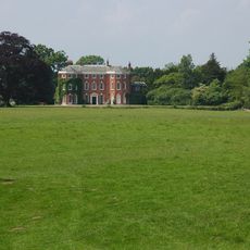
Shakenhurst
3.2 km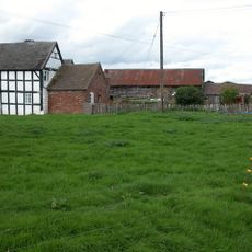
Lower Langley Farmhouse
1.4 km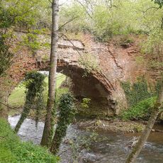
Rea Aqueduct At Ngr So 6511 7030 (That Part In Neen Sollars Cp)
2.6 km
17, High Street
4.4 km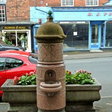
Horse Trough And Drinking Fountain
4.4 km
14, High Street
4.3 km
16, High Street
4.4 km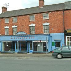
18, High Street
4.4 km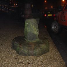
Wayside cross on High Street, 140m south west of St Mary's Church
4.4 km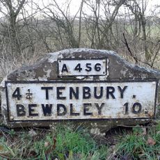
Milestone, roadside at SO6544569565
3.4 km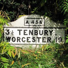
Milestone, 100m W of Station Nursery
3.4 km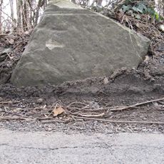
Milestone, 30m W entrance to Barnslands Farm
3.3 kmVous avez visité ce lieu ? Touchez les étoiles pour le noter et partager votre expérience ou vos photos avec la communauté ! Essayez maintenant ! Vous pouvez annuler à tout moment.
Trouvez des trésors cachés à chaque coin de rue !
Des petits cafés pittoresques aux points de vue planqués, fuyez la foule et dénichez les lieux qui vous ressemblent vraiment. Notre app vous facilite la vie : recherche vocale, filtres malins, itinéraires optimisés et bons plans partagés par des voyageurs du monde entier. Téléchargez vite pour vivre l'aventure en version mobile !

Une approche inédite de la découverte touristique❞
— Le Figaro
Tous les lieux qui valent la peine d'être explorés❞
— France Info
Une excursion sur mesure en quelques clics❞
— 20 Minutes