
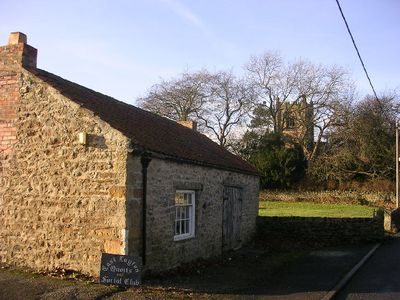
East Layton, civil parish in the Richmondshire district of North Yorkshire, England,
Emplacement : North Yorkshire
Coordonnées GPS : 54.48433,-1.74873
Dernière mise à jour : 29 avril 2025 à 18:20
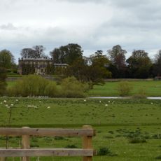
Forcett Hall
2.6 km
Fortifications de l'âge du fer de Stanwick
2.5 km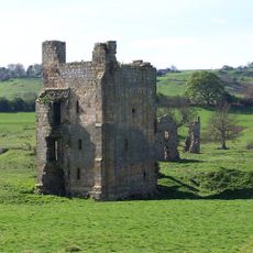
Ravensworth Castle
3.6 km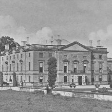
Stanwick Park
2.6 km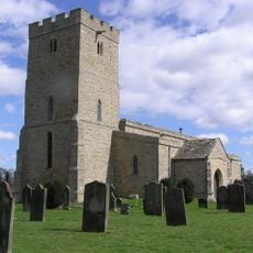
St John the Baptist's Church, Stanwick
3 km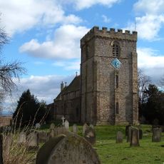
St James' Church, Melsonby
4 km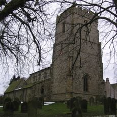
Church of St Peter and St Felix
4.1 km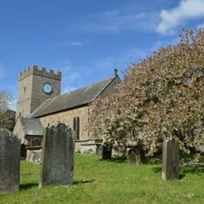
Church of St Cuthbert
2.6 km
Christ Church
73 m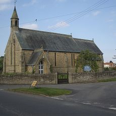
Church of St Paul
4.1 km
Roman Catholic Church of St Mary
5.3 km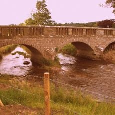
Bridge Over Hartforth Beck
3.8 km
Hartforth Hall
3.5 km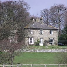
Dunsa Manor
3.2 km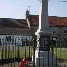
Newsham War Memorial, Richmondshire
5.6 km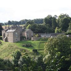
Wycliffe Hall
6.2 km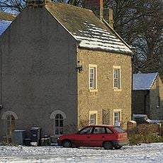
The Old Grammar School And Grammar School House And Attached Wall And Railings
4.1 km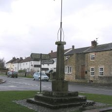
Market Cross And Stocks
5.8 km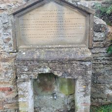
Water Tap And Tablet Opposite Oak Tree Inn
4.5 km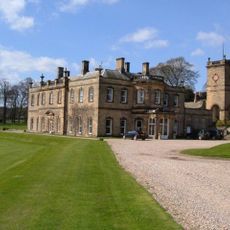
Water Tower Approximately Five Metres To North Of Hartforth Hall
3.5 km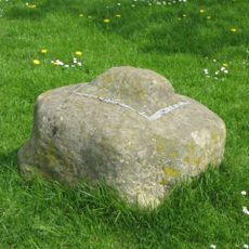
Cross Base
3.1 km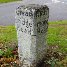
Guide Post Opposite Smallways Inn
5.3 km
Milepost 400 Metres North Of Junction With Pudding Hill Road
5.7 km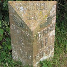
Milepost 400 Metres North Of Junction With Pudding Hill Road
5.7 km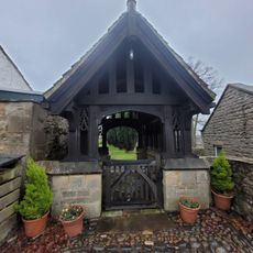
Lych Gate to Church of St Mary
4.5 km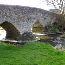
Aldbrough St John Packhorse Bridge
4.1 km
Dovecote
2.8 km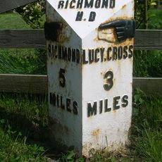
Milestone, S end of Melsonby village
3.9 kmVous avez visité ce lieu ? Touchez les étoiles pour le noter et partager votre expérience ou vos photos avec la communauté ! Essayez maintenant ! Vous pouvez annuler à tout moment.
Trouvez des trésors cachés à chaque coin de rue !
Des petits cafés pittoresques aux points de vue planqués, fuyez la foule et dénichez les lieux qui vous ressemblent vraiment. Notre app vous facilite la vie : recherche vocale, filtres malins, itinéraires optimisés et bons plans partagés par des voyageurs du monde entier. Téléchargez vite pour vivre l'aventure en version mobile !

Une approche inédite de la découverte touristique❞
— Le Figaro
Tous les lieux qui valent la peine d'être explorés❞
— France Info
Une excursion sur mesure en quelques clics❞
— 20 Minutes