
Stotfold, localité britannique
Emplacement : Central Bedfordshire
Site web : http://stotfoldtowncouncil.gov.uk
Coordonnées GPS : 52.01800,-0.22800
Dernière mise à jour : 5 mars 2025 à 12:51

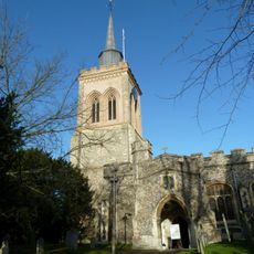
Church of St. Mary the Virgin, Baldock
4.1 km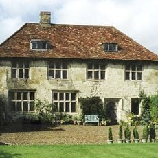
Hinxworth Place
3.4 km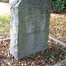
Church of St Nicholas, Norton
2.9 km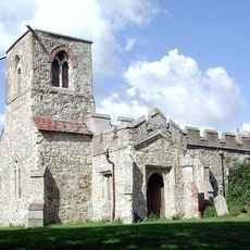
St Mary Magdalene's Church, Caldecote
2.4 km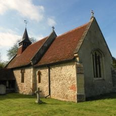
Church of All Saints, Radwell
1.9 km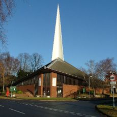
St George's Church
3.5 km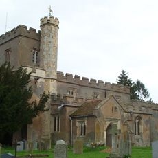
Church of St Vincent, Newnham
2.7 km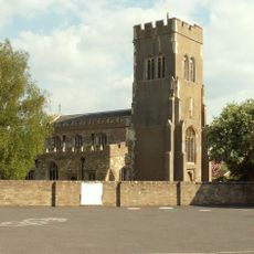
Church of St Mary the Virgin
458 m
Ivel Springs
3.5 km
Arlesey Old Moat and Glebe Meadows
2.8 km
Church of St Peter, Arlesey
2.6 km
Stotfold Mill Meadows
826 m
Baldock Museum and Local History Society
4.2 km
Stotfold Watermill & Nature Reserve
639 m
The Three Horseshoes Inn
3 km
Church of Saint Guthlac
1.6 km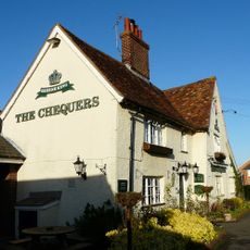
The Chequers Public House
579 m
217, Icknield Way
4 km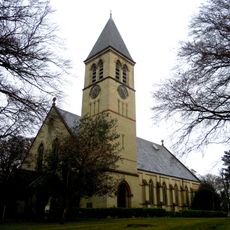
Church At Fairfield Hospital
2.1 km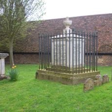
Tomb Of William Clarkson
4.1 km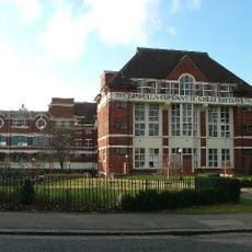
The Spirella Building, Associated Fountain, Lamp Standards And Steps
4.2 km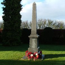
Stotfold War Memorial
691 m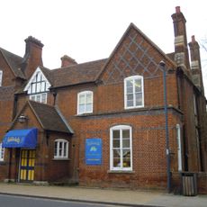
Butterfield House
4.1 km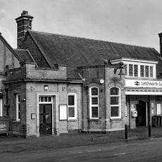
Booking Hall, Public Rooms, Offices And Footbridge At Letchworth Station
4.2 km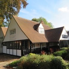
The Settlement
4 km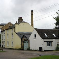
Stotfold Mill
652 m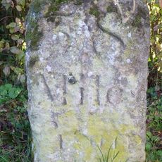
Milestone, North Road, N of jct with Norton Mill Lane
3 km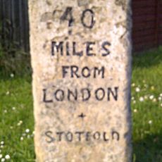
Milestone, Arlersley Road, 160m S of jct with Regent Street
348 mAvis
Vous avez visité ce lieu ? Touchez les étoiles pour le noter et partager votre expérience ou vos photos avec la communauté ! Essayez maintenant ! Vous pouvez annuler à tout moment.
Trouvez des trésors cachés à chaque coin de rue !
Des petits cafés pittoresques aux points de vue planqués, fuyez la foule et dénichez les lieux qui vous ressemblent vraiment. Notre app vous facilite la vie : recherche vocale, filtres malins, itinéraires optimisés et bons plans partagés par des voyageurs du monde entier. Téléchargez vite pour vivre l'aventure en version mobile !

Une approche inédite de la découverte touristique❞
— Le Figaro
Tous les lieux qui valent la peine d'être explorés❞
— France Info
Une excursion sur mesure en quelques clics❞
— 20 Minutes