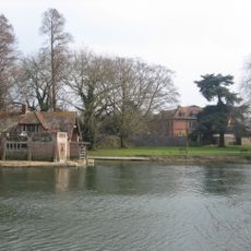
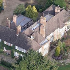
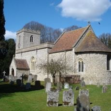
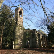
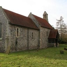
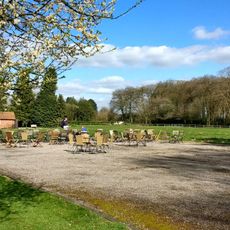
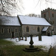
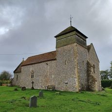
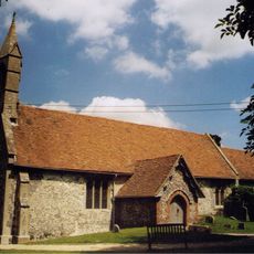
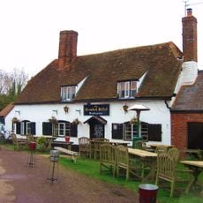
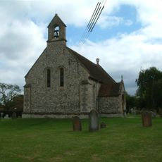
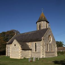
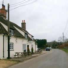
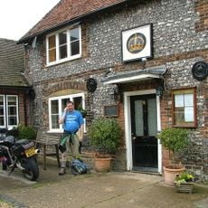
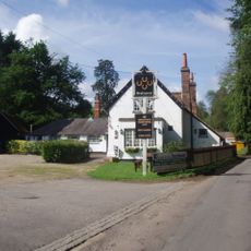
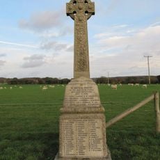
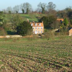
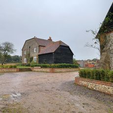
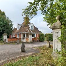
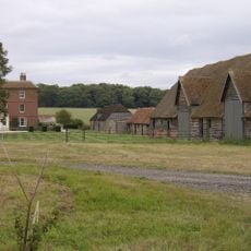
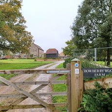
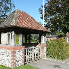
Ipsden, village and civil parish in South Oxfordshire, England
Emplacement : South Oxfordshire
Coordonnées GPS : 51.56527,-1.06912
Dernière mise à jour : 3 mars 2025 à 16:47
Carmel College
4.2 km
Braziers Park
1.6 km
Nuffield Place
4 km
Winterbrook Bridge
4.6 km
St Peter and St Paul, Checkendon
3 km
St John the Baptist's Church, Mongewell
4.4 km
St Mary's Church, Newnham Murren
4.6 km
Nuffield Place (National Trust)
4 km
St Mary the Virgin, North Stoke
3.8 km
Church of the Holy Trinity
2.8 km
Church of St Mary
1.2 km
The Crooked Billet Public House
4 km
Church of St Leonard
3.4 km
Church of St John the Evangelist
3.5 km
Stoke Row Independent Chapel
4.1 km
The Highwayman Public House
3.9 km
The Crown Public House
3.6 km
Maharajah's Well
3.7 km
The Four Horseshoes
3.1 km
Ipsden war memorial
1.3 km
The Old Vicarage
1.3 km
Howberry Wood Farm, Granary Approximately 5 Metres East Of Farmhouse
4.2 km
Grim's Ditch; portion from Mongewell Park Lodge to S of Nuffield church
1.9 km
The Lodge, Gate Piers And Flanking Walls, Carmel College
3.8 km
English Farmhouse
3 km
Howberry Wood Farmhouse
4.2 km
Checkendon War Memorial Lychgate
3.1 km
Milestone, Port Hill; 20m W of lane to Hayden Farm
4.1 kmAvis
Vous avez visité ce lieu ? Touchez les étoiles pour le noter et partager votre expérience ou vos photos avec la communauté ! Essayez maintenant ! Vous pouvez annuler à tout moment.
Trouvez des trésors cachés à chaque coin de rue !
Des petits cafés pittoresques aux points de vue planqués, fuyez la foule et dénichez les lieux qui vous ressemblent vraiment. Notre app vous facilite la vie : recherche vocale, filtres malins, itinéraires optimisés et bons plans partagés par des voyageurs du monde entier. Téléchargez vite pour vivre l'aventure en version mobile !
Une approche inédite de la découverte touristique❞
— Le Figaro
Tous les lieux qui valent la peine d'être explorés❞
— France Info
Une excursion sur mesure en quelques clics❞
— 20 Minutes