
Drayton, localité britannique du comté anglais de Norfolk
Emplacement : Broadland
Site web : https://draytonpc.norfolkparishes.gov.uk
Coordonnées GPS : 52.67500,1.22500
Dernière mise à jour : 22 mars 2025 à 10:53
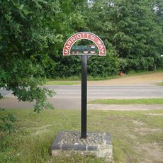
Marriott's Way
1.4 km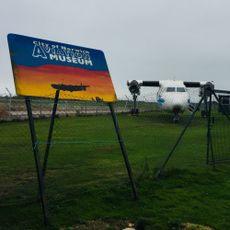
City of Norwich Aviation Museum
3.5 km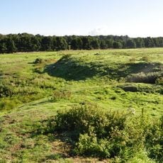
Horsford Castle
3.3 km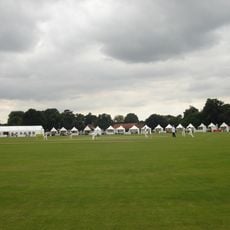
Manor Park, Horsford
2.4 km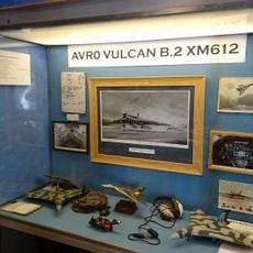
City of Norwich Aviation Museum
3.3 km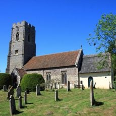
Parish Church of All Saints
2.5 km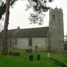
Parish Church of St Edmund
2.1 km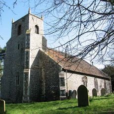
Parish Church of St Margaret
4 km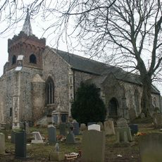
Church of St Edmund
1.1 km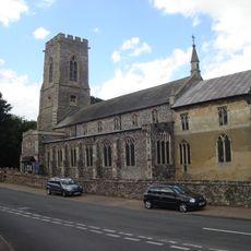
Church of the Blessed Virgin and St Andrew
3.8 km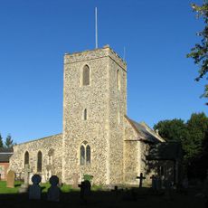
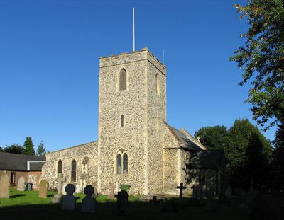
Parish Church of St Margaret
287 m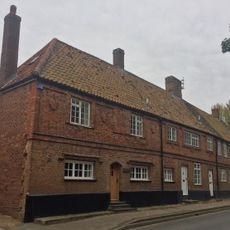
2-5, Church Street
3.8 km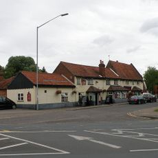
The Red Lion
183 m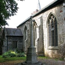
Costessey War Memorial
1.1 km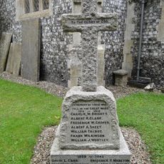
Taverham War Memorial
2.1 km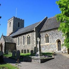
Drayton War Memorial
266 m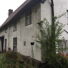
The Kennels
3.7 km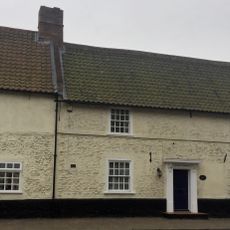
Waytes House
3.8 km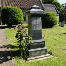
Horsford War Memorial
2.4 km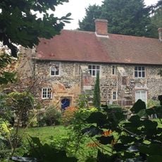
The Priory
3.9 km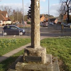
Village cross 160m south of St Margaret's Church
133 m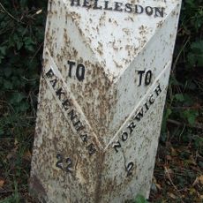
Milepost, 190yds W of entrance to Royal Norwich Golf Club. Opp. school playing fields
2.9 km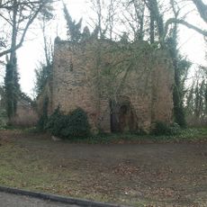
Drayton Lodge
603 m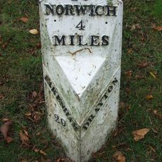
Milepost, 20yds W of jct with Taverham Rd
282 m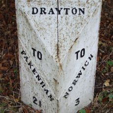
Milepost, 150yds E of jct with Hurn Rd. Just E of entrance to former David Rice Hospital
1.3 km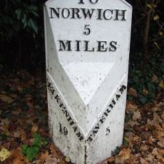
Milepost, Fakenham Road, opp. No. 230
1.9 km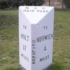
Milepost, 100m S of jct with Drayton Lane
2.3 km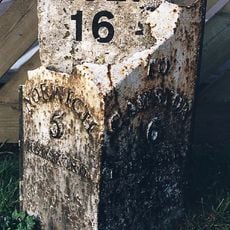
Milepost, N side of The Brickmakers PH
3.4 kmVous avez visité ce lieu ? Touchez les étoiles pour le noter et partager votre expérience ou vos photos avec la communauté ! Essayez maintenant ! Vous pouvez annuler à tout moment.
Trouvez des trésors cachés à chaque coin de rue !
Des petits cafés pittoresques aux points de vue planqués, fuyez la foule et dénichez les lieux qui vous ressemblent vraiment. Notre app vous facilite la vie : recherche vocale, filtres malins, itinéraires optimisés et bons plans partagés par des voyageurs du monde entier. Téléchargez vite pour vivre l'aventure en version mobile !

Une approche inédite de la découverte touristique❞
— Le Figaro
Tous les lieux qui valent la peine d'être explorés❞
— France Info
Une excursion sur mesure en quelques clics❞
— 20 Minutes