
Mattishall, village in the United Kingdom
Emplacement : Breckland District
Coordonnées GPS : 52.65968,1.02828
Dernière mise à jour : 10 mars 2025 à 22:41
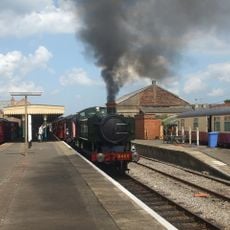
Mid-Norfolk Railway
4.8 km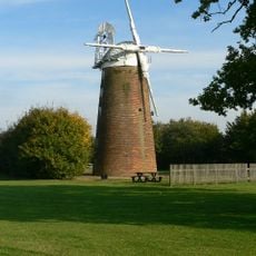
East Dereham Windmill
4.9 km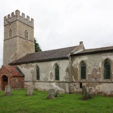
St Michael's Church, Coston
5.2 km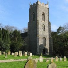
Church of St Peter and St Paul
4.8 km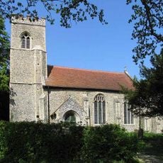
Church of All Saints
3.8 km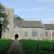
Church of All Saints
3.6 km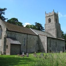
Church of St Michael
3 km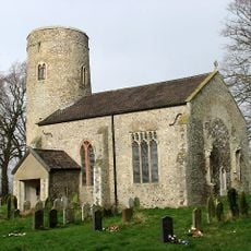
Church of All Saints
4.4 km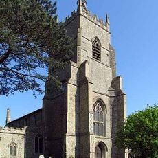
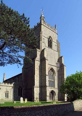
Church of All Saints
455 m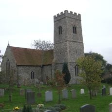
Church of St Peter
951 m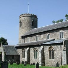
Church of St Peter
4.2 km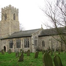
Church of St Margaret
4.6 km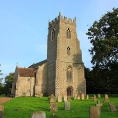
Church of St Mary
1.9 km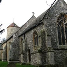
Church of All Saints
2.1 km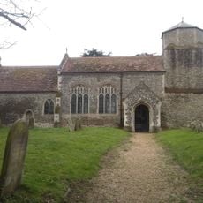
Church of St Paul
4.4 km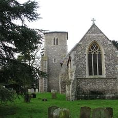
Church of St Mary
4.8 km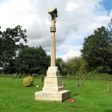
North Tuddenham War Memorial
1.9 km
Elsing Hall
4.9 km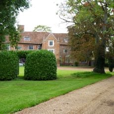
The Old Hall
4.3 km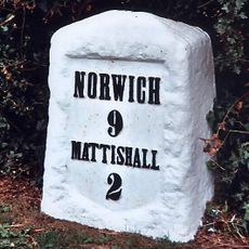
Milestone 2 Miles From Mattishall
3.4 km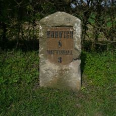
Milestone, 100m E of jct with Colton rd
5 km
Milestone, 32yds W of jct with A47, on bypassed section
4.1 km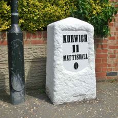
Milestone, Dereham Road
246 m
Milestone, lay-by, W of centre
3.4 km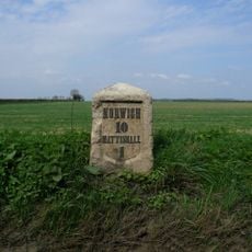
Milestone, 50yds E of X-rds (Church Lane & Blind Lane
1.8 km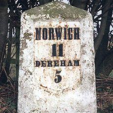
Milestone, E side of entrance to Poppy's Wood car park
2.6 km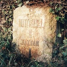
Milestone, 50yds W of entrance to No. 149 Dereham Rd
1.3 km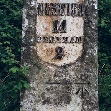
Milestone, 150yds E of jct
4.3 kmAvis
Vous avez visité ce lieu ? Touchez les étoiles pour le noter et partager votre expérience ou vos photos avec la communauté ! Essayez maintenant ! Vous pouvez annuler à tout moment.
Trouvez des trésors cachés à chaque coin de rue !
Des petits cafés pittoresques aux points de vue planqués, fuyez la foule et dénichez les lieux qui vous ressemblent vraiment. Notre app vous facilite la vie : recherche vocale, filtres malins, itinéraires optimisés et bons plans partagés par des voyageurs du monde entier. Téléchargez vite pour vivre l'aventure en version mobile !

Une approche inédite de la découverte touristique❞
— Le Figaro
Tous les lieux qui valent la peine d'être explorés❞
— France Info
Une excursion sur mesure en quelques clics❞
— 20 Minutes