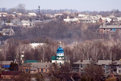
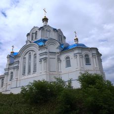
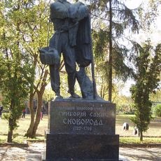
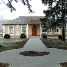
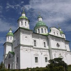
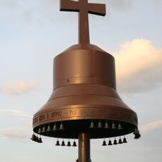
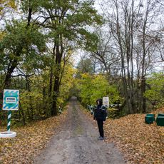
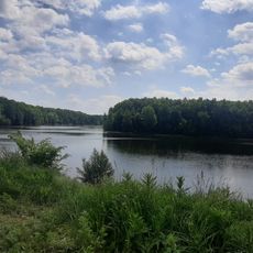
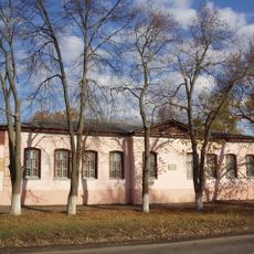
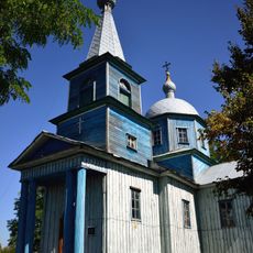
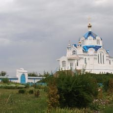
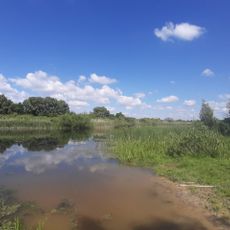
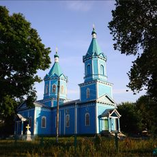
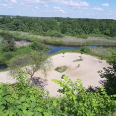
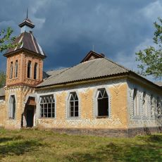
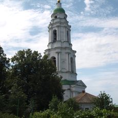
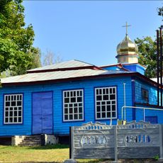
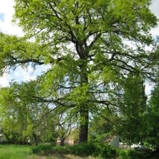
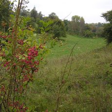
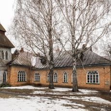
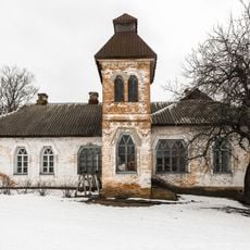
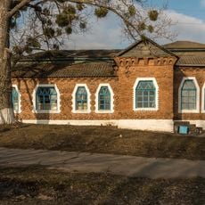
Tchornoukhy, urban type settlement in Poltava Oblast, Ukraine
Emplacement : Chornukhy Raion
Altitude : 114 m
Coordonnées GPS : 50.26991,32.94758
Dernière mise à jour : 21 avril 2025 à 17:09
Mhar Monastery
27.8 km
Monument to Hryhoriy Skovoroda in Lokhvytsia
24.7 km
Memorial manor of Hryhoriy Skovoroda
740 m
Transfiguration Cathedral, Mgar
27.8 km
Memorial Golodomor 1933
27.6 km
Kukvyn, Protected Tract
25.9 km
Zakaznyk Chervonoberezhzhya
14.5 km
Lokhvytsia local museum
24.5 km
Church of the Annunciation (Lokhvytsia)
25.1 km
Saint Michael church in Povstyn
25.2 km
Church of the Annunciation, Mgar
27.4 km
Deymanivs'kyy Zakaznyk
22.9 km
Куквинський заказник
24.5 km
Quercus Robur, Yakhnyky
22.6 km
Sosnovyi Park, Lokhvytsia
24.5 km
Dubovyi Hai, Lokhvytsia
24.6 km
Church of the Intercession, Berezotocha
26.1 km
Бурти
22.5 km
Zemstvo school in Kharsiky
3.1 km
Bell tower of Mhar monastery
27.8 km
Church of the Nativity of the Theotokos, Voronky
8.5 km
Quercus Robur, Lokhvytsia
24.7 km
Mharska Dacha
25.2 km
Zemstvo school in Kizlivka, Chornukhy Raion
2.6 km
Zemstvo school in Chornukhy
741 m
Zemstvo school in Ryhy
21.8 km
Heilivshchyna Oak
8.8 km
Quercus Robur, Krynytsia
21.6 kmAvis
Vous avez visité ce lieu ? Touchez les étoiles pour le noter et partager votre expérience ou vos photos avec la communauté ! Essayez maintenant ! Vous pouvez annuler à tout moment.
Trouvez des trésors cachés à chaque coin de rue !
Des petits cafés pittoresques aux points de vue planqués, fuyez la foule et dénichez les lieux qui vous ressemblent vraiment. Notre app vous facilite la vie : recherche vocale, filtres malins, itinéraires optimisés et bons plans partagés par des voyageurs du monde entier. Téléchargez vite pour vivre l'aventure en version mobile !
Une approche inédite de la découverte touristique❞
— Le Figaro
Tous les lieux qui valent la peine d'être explorés❞
— France Info
Une excursion sur mesure en quelques clics❞
— 20 Minutes