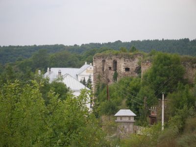
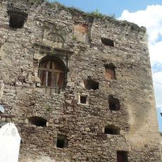
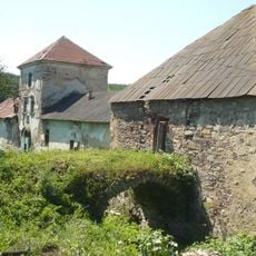
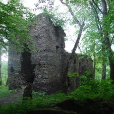
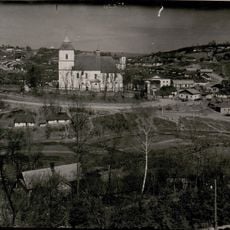
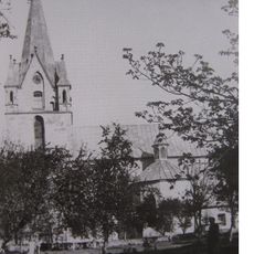
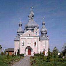
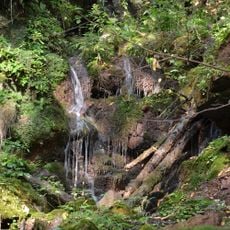
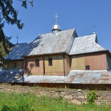
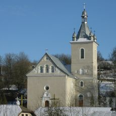
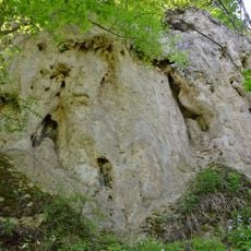
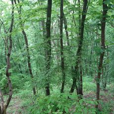
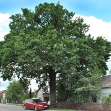
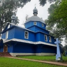
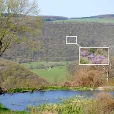
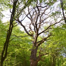
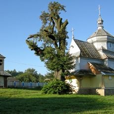
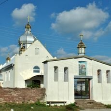
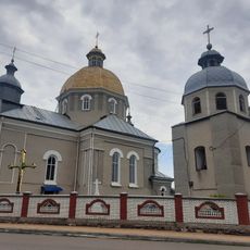
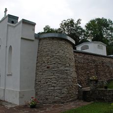
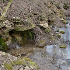
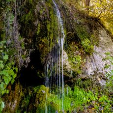
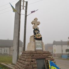
Yazlovets, village in Buchach Raion, Ternopil Oblast, Ukraine
La communauté des voyageurs curieux
AroundUs rassemble des milliers de lieux sélectionnés, conseils locaux et pépites cachées, enrichis chaque jour par plus de 60,000 contributeurs à travers le monde.
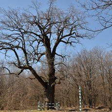
Création
13e siècle
Altitude
314 m
Coordonnées GPS
48.95972,25.44222
Dernière mise à jour
7 mars 2025 à 21:59