
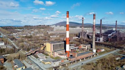
Kachkanar Combined Heat and Power Plant, thermische elektriciteitscentrale in Rusland
Emplacement : Kachkanar
Création : 1960
Coordonnées GPS : 58.70611,59.51169
Dernière mise à jour : 23 septembre 2025 à 14:00
Uralskaya Superdeep Borehole
38.7 km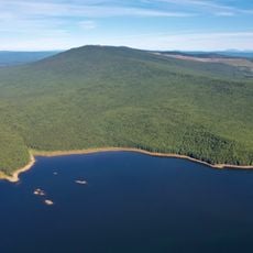
Kachkanar
10.3 km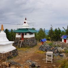
Bshad sgrub gling
10.7 km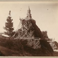
Blagodat
49.1 km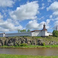
Kremlin de Verkhotourié
76.7 km
Kolpaki
21.6 km
Nizhne Turinskiy Prud
20.9 km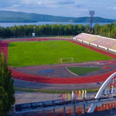
Gornyak Stadium
2.9 km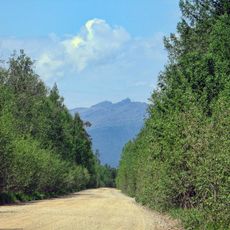
Sinyaya
64.3 km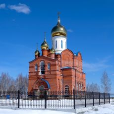
Church of Icon of the Mother of God «Seeking the Lost»
1.9 km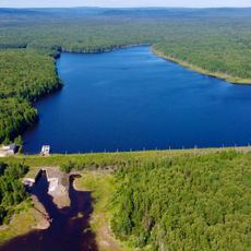
Upper Kachkanar Reservoir
8.9 km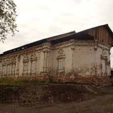
Church of Our Lady of the Sign, Verkhoturye
76.5 km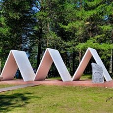
Park Stroiteley
1.4 km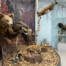
Kachkanar Historical and Local History Museum
2.6 km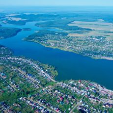
Upper Tura Reservoir
42.4 km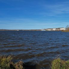
Kushvinskiy Prud
49.9 km
Дом почётных гостей
76.8 km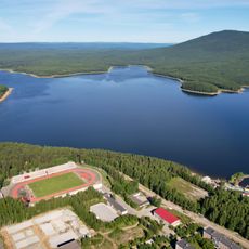
Lower Kachkanar Reservoir
4 km
Усадьба Рагозина
76.5 km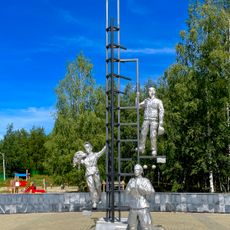
Prometheus Park in Kachkanar
2 km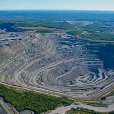
Glavniy quarry of Kachkanarsky GOK
5.2 km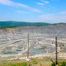
Severniy quarry of Kachkanarsky GOK
7.6 km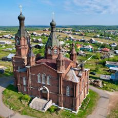
Saint Alexander Nevsky Church
41.4 km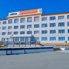
KGOK administrative building
1.3 km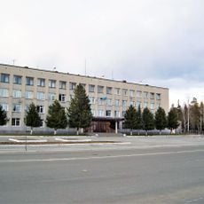
Administration of Kachkanar district
1.5 km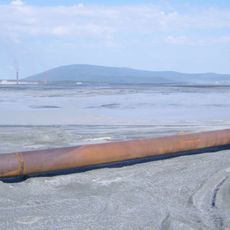
Tailings of Kachkanarskiy mining and processing plant
3.2 km
Oslyanka
75.2 km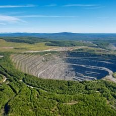
Zapadniy quarry of Kachkanarsky GOK
7.2 kmAvis
Vous avez visité ce lieu ? Touchez les étoiles pour le noter et partager votre expérience ou vos photos avec la communauté ! Essayez maintenant ! Vous pouvez annuler à tout moment.
Trouvez des trésors cachés à chaque coin de rue !
Des petits cafés pittoresques aux points de vue planqués, fuyez la foule et dénichez les lieux qui vous ressemblent vraiment. Notre app vous facilite la vie : recherche vocale, filtres malins, itinéraires optimisés et bons plans partagés par des voyageurs du monde entier. Téléchargez vite pour vivre l'aventure en version mobile !

Une approche inédite de la découverte touristique❞
— Le Figaro
Tous les lieux qui valent la peine d'être explorés❞
— France Info
Une excursion sur mesure en quelques clics❞
— 20 Minutes