
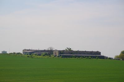
Skały
Emplacement : Gmina Zdzieszowice
Coordonnées GPS : 50.47583,18.12167
Dernière mise à jour : 29 septembre 2025 à 13:50
Mont Sainte-Anne
4.1 km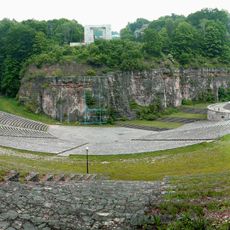
Monument and open-air theatre at St. Anne Mountain
3.6 km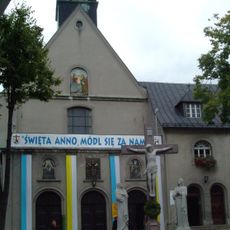
Góra Świętej Anny Monastery
4 km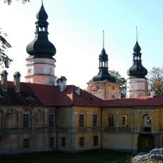
Żyrowa Palace
2.6 km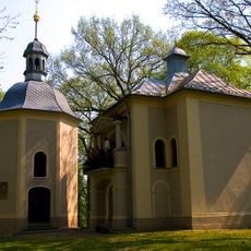
St Anne's Hill Calvary
4.1 km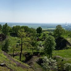
Rezerwat przyrody Góra Świętej Anny
4.2 km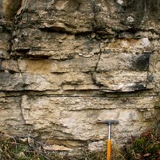
Gogolin Formation
6.3 km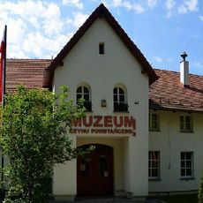
Uprising Museum in Góra Świętej Anny
3.9 km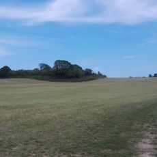
Ligota Dolna, powiat strzelecki
796 m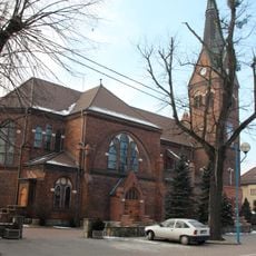
Sacred Heart church in Gogolin
7.1 km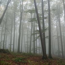
Rezerwat przyrody Lesisko
2.5 km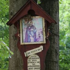
Rezerwat przyrody Biesiec
1.4 km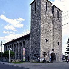
Saint Anthony church in Zdzieszowice
6.1 km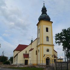
Holy Trinity church in Leśnica
6.9 km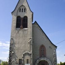
Evangelical-Augsburg Church in Gogolin
7 km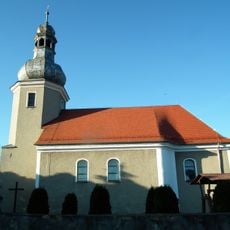
Church of St. Michael the Archangel in Poznowice
5.3 km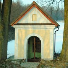
Chapel of the three brothers
4.3 km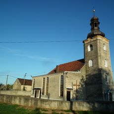
Church of the Nativity of the Virgin Mary in Kalinów
6.6 km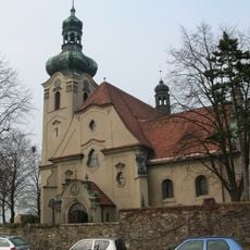
Mary Magdalene church in Jasiona
1.9 km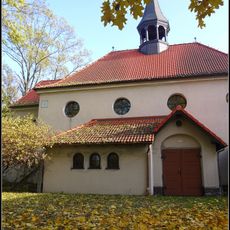
Kościół św. Antoniego w Zdzieszowicach
6.2 km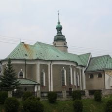
Kościół św. Floriana, XV/XVI
3.5 km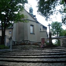
Kościół św. Anny
4 km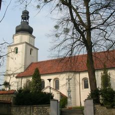
Church of Saint Nicholas in Żyrowa
2.6 km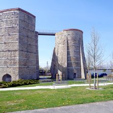
Glass furnace No. 7 in Gogolin
7.3 km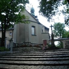
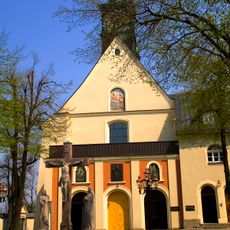
Franziskanerkloster St. Annaberg
4 km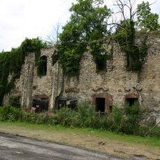
Ruins in Zakrzów
3.2 km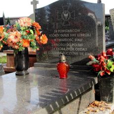
Grave of powstańców śląskich in Gogolin
6.7 km
Dziedziniec krużgankowy, XVIII/XIX
4 kmVous avez visité ce lieu ? Touchez les étoiles pour le noter et partager votre expérience ou vos photos avec la communauté ! Essayez maintenant ! Vous pouvez annuler à tout moment.
Trouvez des trésors cachés à chaque coin de rue !
Des petits cafés pittoresques aux points de vue planqués, fuyez la foule et dénichez les lieux qui vous ressemblent vraiment. Notre app vous facilite la vie : recherche vocale, filtres malins, itinéraires optimisés et bons plans partagés par des voyageurs du monde entier. Téléchargez vite pour vivre l'aventure en version mobile !

Une approche inédite de la découverte touristique❞
— Le Figaro
Tous les lieux qui valent la peine d'être explorés❞
— France Info
Une excursion sur mesure en quelques clics❞
— 20 Minutes