
Nierada, village de Pologne
Emplacement : Gmina Poczesna
Coordonnées GPS : 50.70000,19.06667
Dernière mise à jour : 15 mars 2025 à 10:33
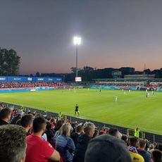
Stadion Miejski
10.7 km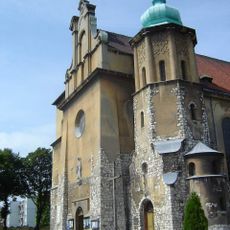
Saint Joseph church in Częstochowa
10.9 km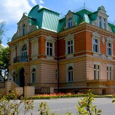
Hantke Villa in Częstochowa
11 km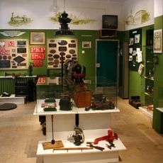
Muzeum Historii Kolei w Częstochowie
11.2 km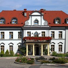
Palace in Czarny Las
8.1 km
TON Błeszno Częstochowa
9.9 km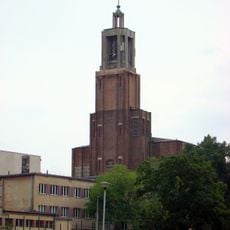
Saint Anthony of Padua church in Częstochowa
11.3 km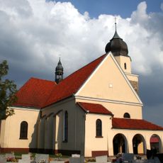
Saint James church in Lubsza
10.9 km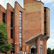
Saint Urszula Ledóchowska church in Częstochowa
10 km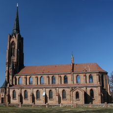
Saint Valentine church in Konopiska
5 km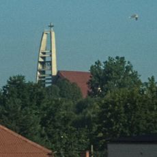
Transfiguration church in Częstochowa
10.9 km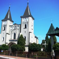
Saint John the Baptist church in Poczesna
5.1 km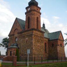
Church of St. Mary in Starcza
3.9 km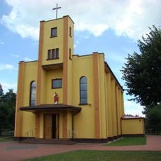
Sacred Heart church in Poraj
10.5 km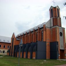
Church of the Pentecost in Częstochowa
10.4 km
Błeszno
9.9 km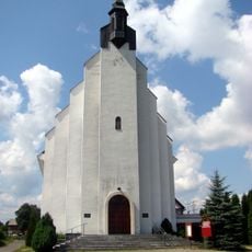
Church of Karolina Kózka in Wanaty
4.7 km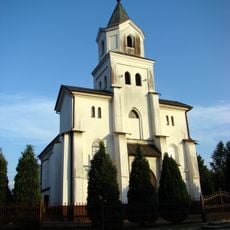
Church of Saint Michael Archangel in Kamienica Polska
6.4 km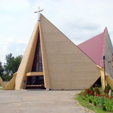
Corpus Christi church in Wrzosowa
7.8 km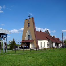
Our Lady of Mercy church in Jastrząb
8.8 km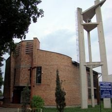
Saint Raphael Kalinowski church in Częstochowa
10.8 km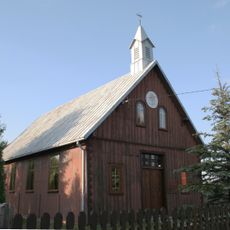
Mariavite Church in Starcza
3.9 km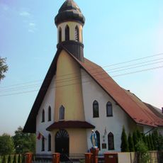
Saint Thomas the Apostle church in Osiny
8.7 km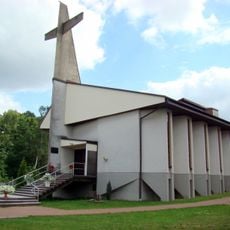
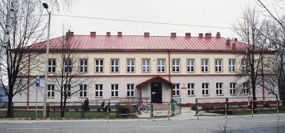
Saints Peter and Paul the Apostles church in Nierada
1.2 km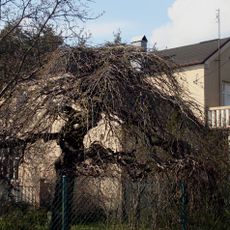
Willa
10.9 km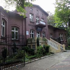
42/48 Łukasińskiego street in Częstochowa
11.1 km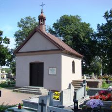
Cemetery in Konopiska
5.1 km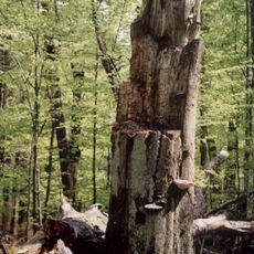
Nature reserve Rajchowa Góra
7.2 kmAvis
Vous avez visité ce lieu ? Touchez les étoiles pour le noter et partager votre expérience ou vos photos avec la communauté ! Essayez maintenant ! Vous pouvez annuler à tout moment.
Trouvez des trésors cachés à chaque coin de rue !
Des petits cafés pittoresques aux points de vue planqués, fuyez la foule et dénichez les lieux qui vous ressemblent vraiment. Notre app vous facilite la vie : recherche vocale, filtres malins, itinéraires optimisés et bons plans partagés par des voyageurs du monde entier. Téléchargez vite pour vivre l'aventure en version mobile !

Une approche inédite de la découverte touristique❞
— Le Figaro
Tous les lieux qui valent la peine d'être explorés❞
— France Info
Une excursion sur mesure en quelques clics❞
— 20 Minutes