
Roszków, village de Pologne
Emplacement : Gmina Krzyżanowice
Altitude : 220 m
Coordonnées GPS : 49.96320,18.30111
Dernière mise à jour : 13 mars 2025 à 15:55

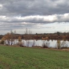
Polder Buków
4.5 km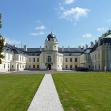
Château de Šilheřovice
4.6 km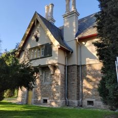
Hunting lodge in Šilheřovice
4.6 km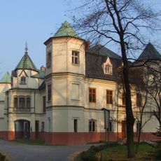
Krzyżanowice Palace
3.1 km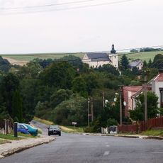
Church of Saint Matthew
4.9 km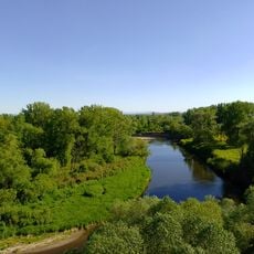
Hraniční meandry Odry
4.6 km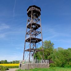
Wieża widokowa Graniczne meandry Odry
4.3 km
WOP post in Chałupki
4 km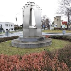
Memorial of Three States
4.4 km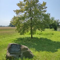
Pamětní lípa v Kopytově
4.1 km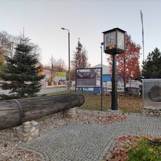
Open Air Museum of Black Oak
3.2 km
Former harbour Šunychl
4.8 km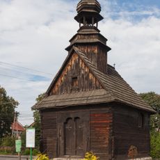
Our Lady of the Sorrow chapel in Buków
4.1 km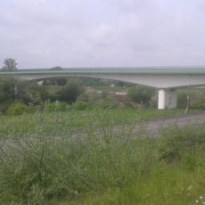
Bridge between Buków and Krzyżanowice
3.5 km
Open Air Museum of Black Oak (Roszków)
422 m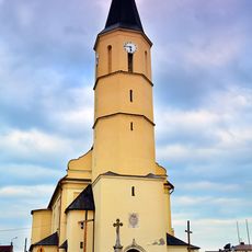
Saint Anne church in Krzyżanowice
3.4 km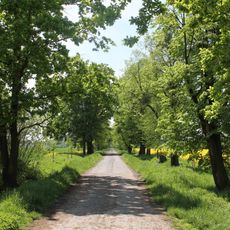
Šilheřovice (natural monument)
4.6 km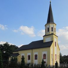
Church of the Assumption
4.5 km
Kaplička v Hati na křižovatce ulic Kostelní a Pekařská
4.8 km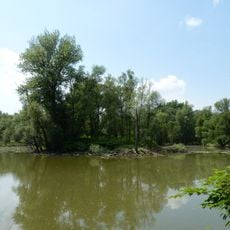
Hraniční meandry Odry
4.9 km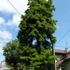
Taxodium u hájenky
4.3 km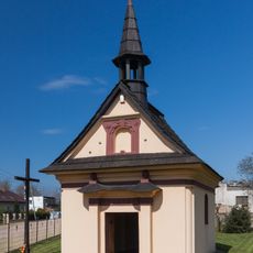
Holy Family chapel in Olza
3.3 km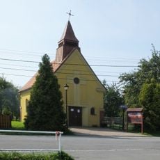
Chapel of Saint John of Nepomuk
4.6 km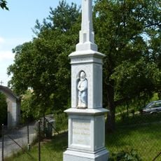
Kříž v Hati v Kostelní ulici
4.9 km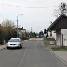
Kříž v Hati u hraničního přechodu
3 km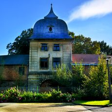
Hunting lodge in Gorzyce
4.9 km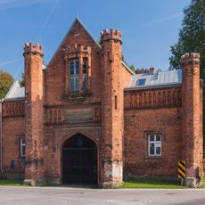
Historic brick gate in Krzyżanowice
3.2 km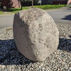
Glacial erratic in Chałupki
4.2 kmAvis
Vous avez visité ce lieu ? Touchez les étoiles pour le noter et partager votre expérience ou vos photos avec la communauté ! Essayez maintenant ! Vous pouvez annuler à tout moment.
Trouvez des trésors cachés à chaque coin de rue !
Des petits cafés pittoresques aux points de vue planqués, fuyez la foule et dénichez les lieux qui vous ressemblent vraiment. Notre app vous facilite la vie : recherche vocale, filtres malins, itinéraires optimisés et bons plans partagés par des voyageurs du monde entier. Téléchargez vite pour vivre l'aventure en version mobile !

Une approche inédite de la découverte touristique❞
— Le Figaro
Tous les lieux qui valent la peine d'être explorés❞
— France Info
Une excursion sur mesure en quelques clics❞
— 20 Minutes