
Ruda-Huta, village de Pologne
Emplacement : Gmina Ruda-Huta
Coordonnées GPS : 51.23333,23.56667
Dernière mise à jour : 5 mars 2025 à 08:53
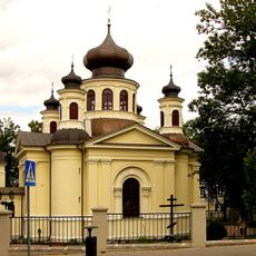
Orthodox church of Saint John the Evangelist in Chełm
10.9 km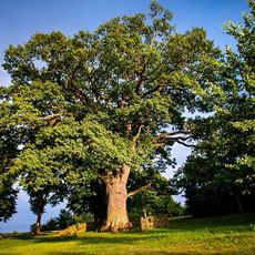
Bolko oak
9.6 km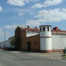
Prisons in Chełm
11.3 km
Tower in Belavino
10.8 km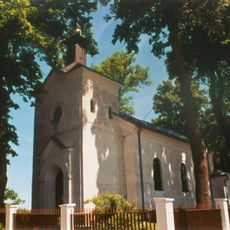
Church of the Dormition in Uhrusk
8.5 km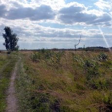
Bagno Serebryskie nature reserve
7.1 km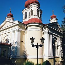
Chełm Orthodox deanery
10.9 km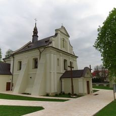
Church of the transfiguration of Christ in Sawin
10.1 km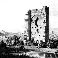
Białawin
11.1 km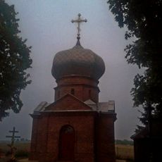
Saint Vladimir I of Kiev Orthodox church in Brzeźno
7.8 km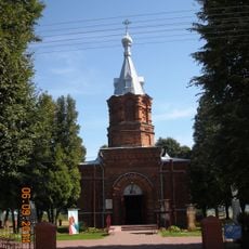
Saint Roch church in Czułczyce
8 km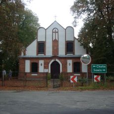
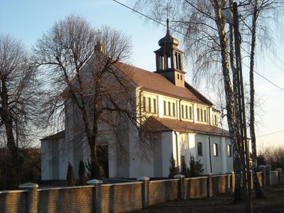
Saint Matthew Polish Catholic church in Ruda-Huta
458 m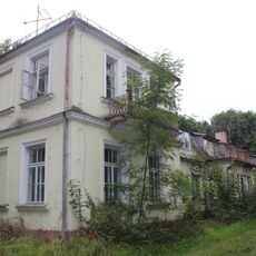
Zespół dworski
7.8 km
Kościół św. Jana Chrzciciela w Uhrusku
8.2 km
All Saints church in Czułczyce
7.8 km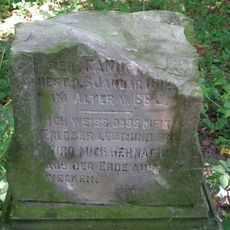
Evangelical-Augsburg cemetery in Kamień-Kolonia
12 km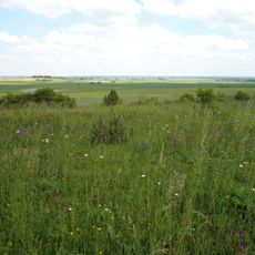
Rezerwat przyrody Stawska Góra
11.8 km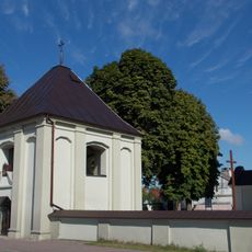
Dzwonnica-brama w Sawiniu
10.1 km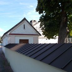
Ogrodzenie
10.1 km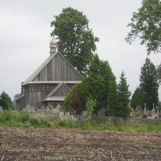
Zespół kościoła Wszystkich Świętych
7.8 km
Zespół kościoła ewangelicko-augsburskiego, ob. polsko-kat. św. Mateusza w Rudzie-Hucie
460 m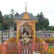
Saint John of Nepomuk wayside shrine in Uhrusk
7.8 km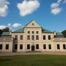
Pałac
8.2 km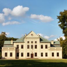
Zespół pałacowy
8.2 km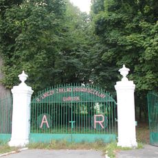
Brama z 2 furtkami
7.8 km
Dwór
7.8 km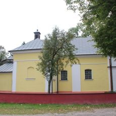
Zespół kościoła św.Jana Chrzciciela
8.2 km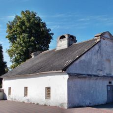
Przytułek dla starców
10.1 kmAvis
Vous avez visité ce lieu ? Touchez les étoiles pour le noter et partager votre expérience ou vos photos avec la communauté ! Essayez maintenant ! Vous pouvez annuler à tout moment.
Trouvez des trésors cachés à chaque coin de rue !
Des petits cafés pittoresques aux points de vue planqués, fuyez la foule et dénichez les lieux qui vous ressemblent vraiment. Notre app vous facilite la vie : recherche vocale, filtres malins, itinéraires optimisés et bons plans partagés par des voyageurs du monde entier. Téléchargez vite pour vivre l'aventure en version mobile !

Une approche inédite de la découverte touristique❞
— Le Figaro
Tous les lieux qui valent la peine d'être explorés❞
— France Info
Une excursion sur mesure en quelques clics❞
— 20 Minutes