
Nagcarlan Municipal Hall, municipal building of Nagcarlan, Laguna
Emplacement : Nagcarlan
Adresse : Nagcarlan-Rizal Road
Coordonnées GPS : 14.13325,121.41501
Dernière mise à jour : 8 mars 2025 à 00:16


Mont Banahaw
11.1 km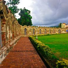
Nagcarlan Underground Cemetery
210 m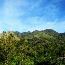
San Cristobal
7.8 km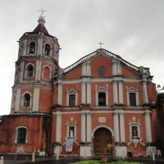
Cathédrale Saint-Paul de San Pablo
11.8 km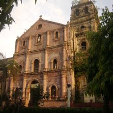
Majayjay Church
6.3 km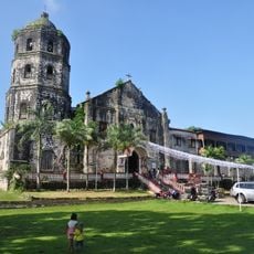
Magdalena Church
7.5 km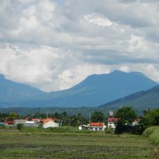
Mounts Banahaw–San Cristobal Protected Landscape
11.7 km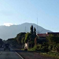
Parco nazionale di Mounts-Banahaw-San-Cristobal
10.5 km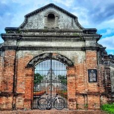
NHCP Museo ng Libingan sa Ilalim ng Lupa ng Nagcarlan
236 m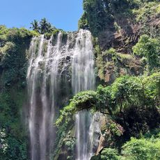
Hulugan Falls
11.1 km
Dalitiwan Resort
8.4 km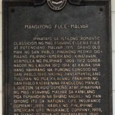
Fule–Malvar Mansion historical marker
12.1 km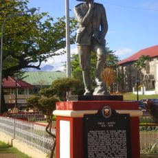
Emilio Jacinto historical marker
7.6 km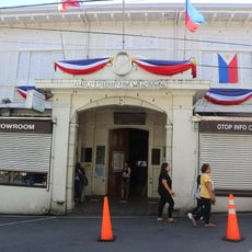
Liliw Municipal Hall
2.3 km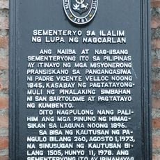
Nagcarlan Underground Cemetery historical marker
206 m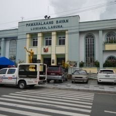
Luisiana Municipal Hall
11.7 km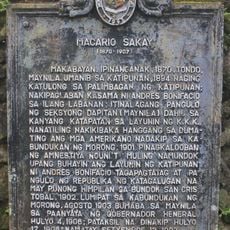
Macario Sakay historical marker
11.2 km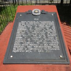
Pila historical marker
12.5 km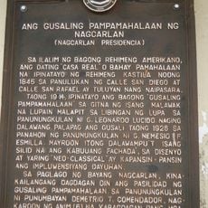
The Government Building of Nagcarlan historical marker
18 m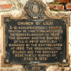
Church of Lilio historical marker
2.3 km
The Town of Liliw historical marker
2.3 km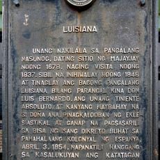
Luisiana historical marker
11.7 km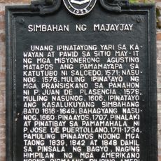
Church of Majayjay historical marker
6.2 km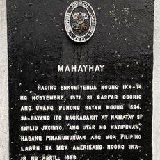
Majayjay historical marker
6.3 km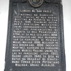
City of San Pablo historical marker
11.9 km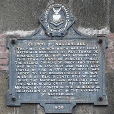
Church of Nagcarlang historical marker
443 m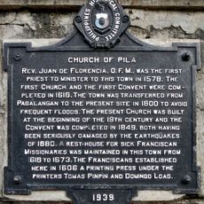
Church of Pila historical marker
12.5 km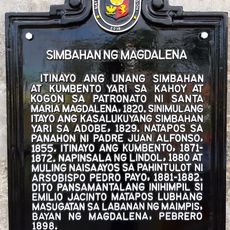
Church of Magdalena historical marker
7.5 kmVous avez visité ce lieu ? Touchez les étoiles pour le noter et partager votre expérience ou vos photos avec la communauté ! Essayez maintenant ! Vous pouvez annuler à tout moment.
Trouvez des trésors cachés à chaque coin de rue !
Des petits cafés pittoresques aux points de vue planqués, fuyez la foule et dénichez les lieux qui vous ressemblent vraiment. Notre app vous facilite la vie : recherche vocale, filtres malins, itinéraires optimisés et bons plans partagés par des voyageurs du monde entier. Téléchargez vite pour vivre l'aventure en version mobile !

Une approche inédite de la découverte touristique❞
— Le Figaro
Tous les lieux qui valent la peine d'être explorés❞
— France Info
Une excursion sur mesure en quelques clics❞
— 20 Minutes